From 70s to a Late-Season Chill? Mid-March Pattern Flip Could Bring Sharp Cooldown Across the Eastern United States
UNITED STATES — A dramatic pattern swing is shaping up over the next 10 days across the eastern half of the country, with springlike warmth expected first, followed by the potential return of much colder air by mid-March.
Long-range ensemble guidance shows a classic temperature contrast developing across North America.
Warmup First: Break From the Cool, Rainy Pattern
Forecast models indicate that parts of the East Coast and Mid-Atlantic will likely see a break from the persistent cool and rainy setup that has dominated recently.
High temperatures are projected to climb into the 70s for several days in portions of the Mid-Atlantic and Southeast, signaling a temporary but noticeable shift toward early spring conditions.
This warm phase is supported by:
- Higher 500mb heights building across the southern and eastern U.S.
- Ridging over parts of the central and southern Plains
- A more progressive storm track shifting northward
For many areas, this will feel like a long-awaited stretch of milder weather.
Then the Pattern Flips
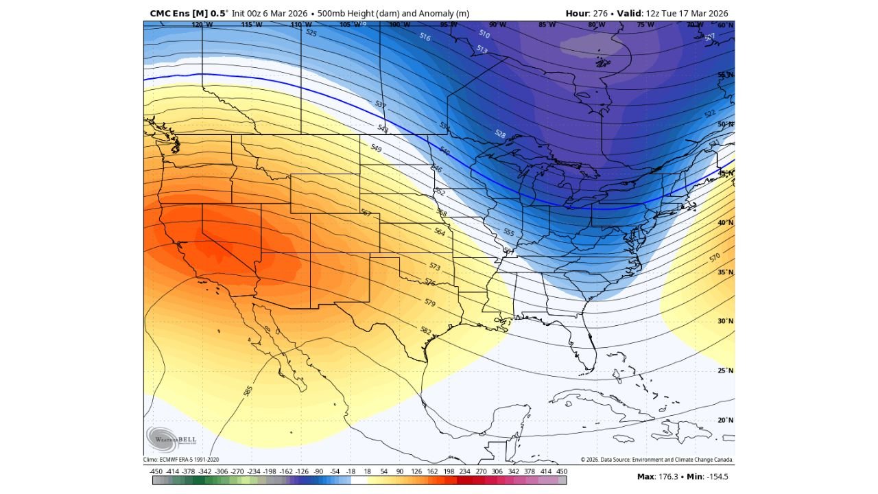
However, ensemble guidance valid around the middle of the month shows a significant trough digging into the Great Lakes and Northeast, with strong negative height anomalies (cooler-than-average air aloft) spreading southward into the Ohio Valley and Mid-Atlantic.
At the same time, a pronounced ridge strengthens across the western United States, particularly from California into the Desert Southwest.
This west ridge / east trough configuration often supports:
- Cooler-than-average temperatures east of the Mississippi River
- Below-normal heights across the Northeast and Great Lakes
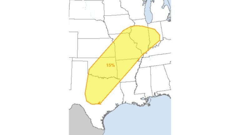
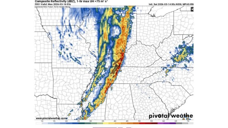
- Potential for renewed storminess along the East Coast
How Cold Could It Get?
While exact temperature details will depend on storm track and timing, the overall pattern suggests:
- A return to below-average temperatures across parts of the Midwest and Northeast
- Cooler air filtering into the Mid-Atlantic
- A potential setup supportive of late-season frost or even wintry precipitation if moisture aligns correctly
It is too early to confirm any specific snow threat, but the atmospheric setup would at least allow colder air to reestablish itself across the eastern U.S. after the warm spell fades.
What This Means for the Carolinas
For North Carolina, including Cabarrus County and surrounding communities, the initial warmup could bring milder afternoons and more comfortable conditions.
But if the eastern trough deepens as projected:
- Temperatures could drop sharply again after mid-month
- Rain chances may increase depending on storm development
- Overnight lows could turn chilly once more
Mid-March is a transitional period, and sharp swings like this are not uncommon.
Bottom Line
Enjoy the warmup while it lasts.
The larger-scale pattern suggests a brief spring preview followed by another shot of colder air across the eastern half of the country. Whether that colder push produces anything wintry will depend on how individual storm systems evolve — something that will become clearer in the coming days.
CabarrusWeekly.com will continue monitoring long-range trends as we move deeper into March.