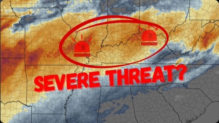
Mississippi, Alabama, Tennessee, and Kentucky Face Tornado Threat Between 2 PM and 7 PM Friday May 22 Targeting Jackson, Mobile, Birmingham, Nashville, Louisville, and Lexington
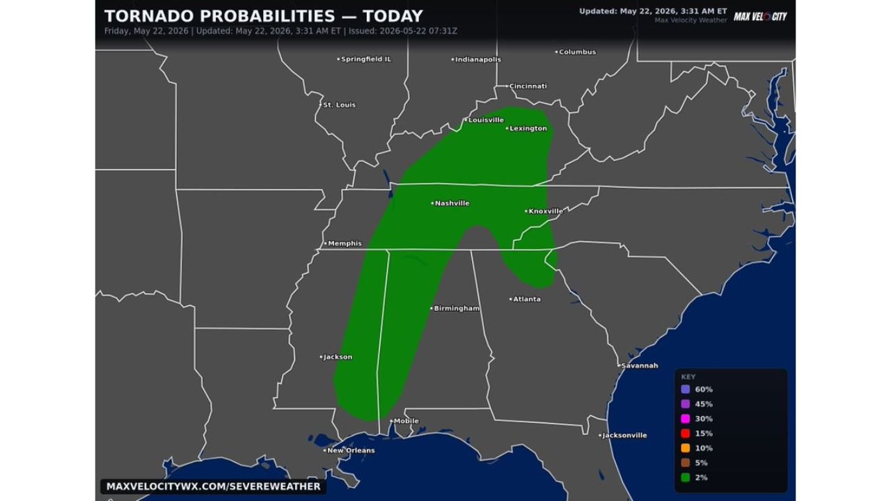
MISSISSIPPI, ALABAMA, TENNESSEE AND KENTUCKY — A growing tornado threat is developing across a corridor stretching from Mississippi to Kentucky on Friday, May 22, 2026, with forecasters warning that a tornado or two cannot be ruled out during the peak severe weather window of 2:00 PM to 7:00 PM. The outlook was updated at 3:31 AM ET and shows scattered to numerous storm coverage expected across the affected zone through the afternoon.
The Peak Tornado Window Is 2 PM to 7 PM Today
Residents across the threat corridor have time to prepare before the most dangerous window opens. The 2:00 PM to 7:00 PM timeframe is when conditions are most favorable for tornado development across the region. Anyone with outdoor afternoon plans across Mississippi, Alabama, Tennessee, and Kentucky should be inside and weather-aware well before 2:00 PM.
Two Separate Tornado Probability Zones Active Today
The tornado probability map shows two distinct threat corridors active simultaneously today:
Southern Zone: Running from Jackson and Mobile, Mississippi northward through Birmingham, Alabama and into Memphis, Tennessee, this corridor carries a 2 percent tornado probability with scattered storm coverage through the afternoon.
Northern Zone: Covering Louisville and Lexington, Kentucky and extending south through Nashville and Knoxville, Tennessee, this zone also carries a 2 percent tornado probability with storms expected to develop and intensify through the peak window.
Cities Directly Inside the Tornado Threat Zone
- Louisville and Lexington, Kentucky
- Nashville and Knoxville, Tennessee
- Memphis, Tennessee
- Birmingham, Alabama
- Jackson and Mobile, Mississippi
- Cincinnati, Ohio (northern edge)
This Is a Marginal But Real Threat
Forecasters are clear that this remains a fairly marginal tornado threat overall. However, marginal does not mean zero. With scattered to numerous storm coverage expected across this entire corridor this afternoon, the probability of at least one or two tornado-producing storms is real and cannot be dismissed. Every person in the threat zone should treat this afternoon as an active weather awareness situation.
Stay with CabarrusWeekly.com for live tornado probability and storm tracking updates across Mississippi, Alabama, Tennessee, and Kentucky through Friday evening.