Massachusetts, Connecticut and Rhode Island Face Arctic Blast With Snow Squalls and Local 3–6” Bands Feb. 6–7
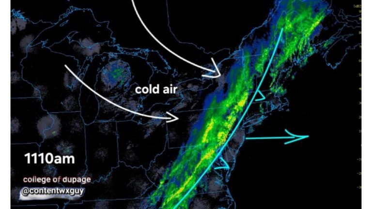
UNITED STATES — A sharp Arctic front is expected to sweep into Southern New England late Friday into Saturday, bringing a fast drop in temperatures, increasing winds, and a messy, highly localized snow setup that could flip from “light snow” to near-whiteout conditions in a matter of miles.
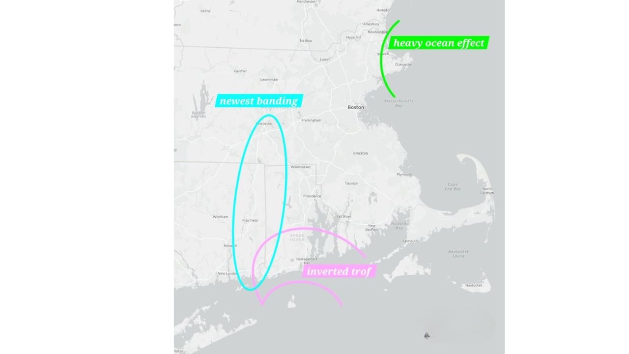
Forecast guidance shared in the latest updates points to widespread light accumulations (generally 1–3 inches) across much of the region, but with narrower, higher-impact corridors where snowfall rates could spike and totals could jump into the 3–6 inch range—especially where an inverted trough and ocean-enhanced snowfall align.
What’s driving this storm setup in Southern New England
The event is being described as “extremely difficult” to pin down because multiple features are interacting:
- Ocean-effect snowfall may develop Friday afternoon along eastern coastal Massachusetts, including areas toward Cape Cod and the Islands.
- Light snow is expected to push in from the west Friday evening ahead of the Arctic front, then continue as scattered snow showers through Friday night.
- As Arctic air surges in Saturday morning, the snow may intensify in pockets, potentially becoming brief but locally heavy, with squall-like bursts and sharply reduced visibility.
- The biggest uncertainty is where the inverted trough sets up, because that feature can lock in a very narrow band of moderate to heavy snow—creating sharp cutoffs between towns that see several inches and nearby communities that barely pick up an inch.
Snowfall expectations: widespread 1–3”, but “jackpot” strips possible
Current thinking calls for 1–3 inches across much of Southern New England, but several areas are highlighted as more likely to exceed that baseline:
- The Berkshires (Massachusetts) and southward into far northwest Connecticut were flagged as having a higher chance of 3 inches or more.
- Eastern coastal Massachusetts, including Cape Cod and the Islands, was also called out for a higher probability of 3 inches or more due to ocean enhancement.
- There is also mention of a lower-confidence heavier stripe possibly extending into eastern Connecticut or Rhode Island, depending on where the inverted trough sharpens.
In short: expect high variability, even between neighboring towns, with some spots potentially seeing a quick burst of heavy snow that dramatically changes road conditions.
Timing: when conditions worsen and when snow becomes more scattered
The primary window for impacts runs from Friday evening into Saturday evening, with the most volatile period expected Saturday morning as the Arctic air pushes in.
By Saturday afternoon, snow should become more scattered overall—though still capable of producing locally heavy bursts. This matters for travel because even “scattered” snow showers can quickly coat roads when temperatures are falling and winds are picking up.
Wind and cold: dangerous wind chills push into the region
Alongside the snow, the cold is expected to be the headline.
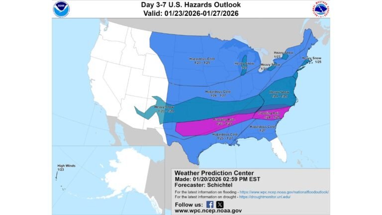
Updates describe one of the coldest airmasses of the season so far, with wind chills expected to run 10–15 degrees below zero for much of the region through the weekend. Some locations may see wind chills dip to the 20–30 below zero range starting Saturday morning.
That combination—falling temperatures, gusty winds, and snow bursts—creates the risk for:
- Blowing snow and sudden visibility drops
- Flash-freeze conditions on untreated roads and sidewalks
- Rapidly worsening travel, even if totals stay “modest” in many locations
Public impact zones: where the heavier snow threat increases
A public impact graphic for February 6–7, 2026 breaks the event into zones tied to the developing low pressure south of Long Island and the enhanced snowfall potential:
- Zone 1: Snow showers with minor accumulation (trace to about 1″)
- Zone 2: Light snow generally 1–3″
- Zone 3: Moderate snow generally 3–6″, with snow intensifying after the overnight hours
While the exact placement can shift, the overall message is consistent: a narrow part of the region is likely to see the more meaningful snow, and it may not take much movement for that stripe to shift east or west.
What residents should do now
Even if your town ends up on the lower side of totals, the setup still supports disruptive conditions because of the wind and cold.
- Plan for Saturday morning travel to be the worst window, with slick roads and possible whiteout bursts.
- Charge devices and prep winter gear—the cold may be severe enough to create safety risks quickly if you’re stranded or without heat.
- Dress for dangerous wind chills: cover exposed skin and limit time outside during the coldest periods.
- If you live near the coast, stay alert for ocean-enhanced bands that can dump quick accumulations over a small area.
The biggest takeaway is that this is not a clean “everyone gets the same snow” event. It’s a banding and squall setup, meaning the most important forecast detail for many communities will be how intense the snow gets for 30–90 minutes, not just the final storm total.
If you’re in Massachusetts, Connecticut, or Rhode Island, what are you seeing so far—steady snow, bursts, or just flurries? Share what it looks like in your area and follow along with more updates at CabarrusWeekly.com.