Pattern Signals Possible Return to Severe Weather After Quiet Break as Late-Week Setup Evolves Across the Southeast
NORTH CAROLINA — After a notably quiet stretch expected on Friday and Saturday, weather models are beginning to hint at a possible return to active and potentially severe weather across parts of the Southeast as the broader pattern becomes more dynamic heading into the latter part of the weekend and beyond.
Quiet Period Expected to Hold Through Saturday
Forecast guidance continues to show a temporary lull in storm activity across much of the region, including North Carolina, through the end of the workweek and into Saturday. This calmer window is tied to weaker upper-level support and limited atmospheric instability, allowing for generally stable conditions.
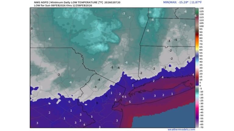
For Cabarrus County and surrounding areas, this break should provide a pause from impactful weather, with no organized severe threats indicated during this timeframe.
Upper-Level Pattern Begins to Shift
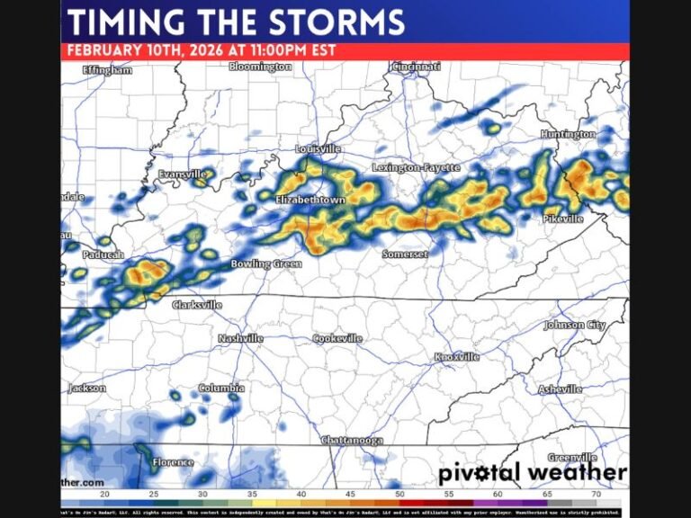
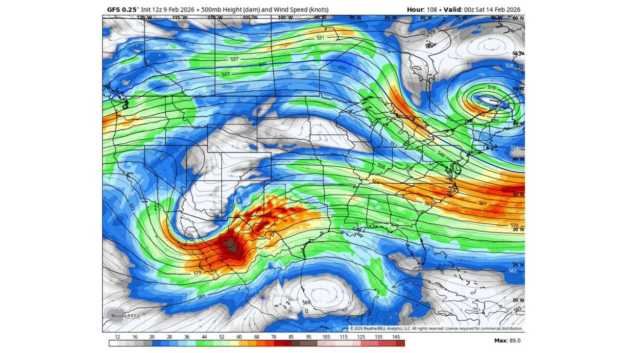
Beyond Saturday, long-range model data shows a notable shift in the upper-level flow. A stronger trough emerging across the western and central United States begins to move eastward, increasing wind energy aloft across the southern Plains and lower Mississippi Valley.
As this energy advances toward the Southeast, it sets the stage for greater atmospheric organization, a key ingredient needed for stronger storm development later in the period.
Instability Signals Appear Over the Gulf Region
Forecast instability maps indicate developing surface-based instability over the Gulf of Mexico and nearby coastal states, suggesting moisture will be available to fuel thunderstorms as the pattern becomes more active.
While this instability is initially displaced well south of North Carolina, it raises attention because northward moisture transport could eventually support stronger storms farther inland if timing and placement align.
Severe Weather Potential Remains Uncertain
At this stage, forecasters emphasize that this setup is not a slam dunk for severe weather. Key details such as storm timing, strength, and exact track remain unresolved, and small shifts in the pattern could significantly alter impacts.
However, the presence of increasing wind energy aloft combined with available moisture means severe weather cannot be ruled out as we move past the weekend and into early next week.
What This Means for North Carolina
For now, residents across central North Carolina should focus on the quiet stretch through Saturday, while staying aware that a more active weather pattern may return afterward. Any severe threat would likely develop quickly once conditions align, leaving little lead time if storms organize.
CabarrusWeekly.com will continue closely monitoring model trends and provide updates as confidence increases. If you notice changing conditions or receive alerts in your area later this weekend, share what you’re seeing and stay connected with CabarrusWeekly.com for timely local weather coverage.