Powerful Mid-February Storm System Shows Conditional Early-Season Tornado Signal Across the Southern and Central U.S.
UNITED STATES — Long-range ECMWF guidance is highlighting a highly dynamic storm system that could impact portions of the southern and central United States around February 15, with atmospheric conditions that may become supportive of organized severe weather if instability increases.
Compact Upper Trough Produces Strong Large-Scale Dynamics
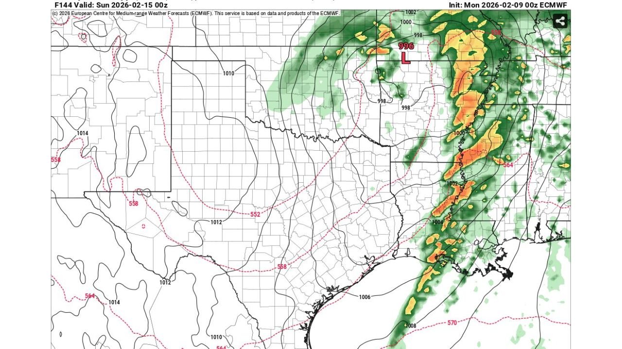
The ECMWF model depicts a compact, fast-ejecting upper-level trough moving eastward across the central United States. This feature is associated with strong height falls, tightening surface pressure gradients, and deepening low pressure, all signs of an energetic system capable of producing impactful weather.
Surface analysis shows a well-defined low pressure center near the Midwest, with a pronounced frontal boundary extending southward into the lower Mississippi Valley and Gulf Coast states.
Organized Convective Line Signals Severe Weather Potential
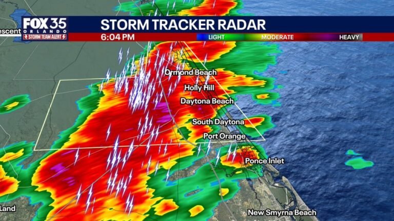
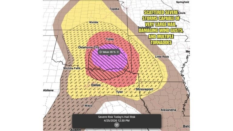
Model precipitation output shows a narrow but intense band of convection aligned along and ahead of the advancing cold front. This structure is consistent with strong forcing for ascent, which can support organized thunderstorms when sufficient moisture and instability are present.
Wind fields implied by the setup suggest strong vertical wind shear, an important ingredient for rotating storms.
Tornado Risk Hinges on Thermodynamic Improvement
While the dynamic environment is impressive, the tornado signal remains conditional. For a true tornado threat to materialize, low-level moisture and instability would need to improve ahead of the front.
At this time, the data supports environmental potential, not a guaranteed outcome. Small changes in moisture return or temperature profiles could significantly alter the risk level.
Early-Season Timing Adds Forecast Complexity
Mid-February severe setups often depend heavily on timing and moisture quality, making confidence lower than during peak spring months. This system fits that profile, where strong dynamics arrive first, and thermodynamics determine the final severity outcome.
Confidence is higher in strong thunderstorms occurring somewhere along the frontal zone than in specific tornado impacts.
Monitoring Phase Continues as Pattern Evolves
This system remains in the monitoring stage, with several days of model refinement still needed before confidence can increase. Trends in future model runs will determine whether this remains a conditional signal or evolves into a more defined severe weather threat.
CabarrusWeekly.com will continue tracking this potential early-season severe weather setup and provide updates as confidence improves. Readers are encouraged to stay weather-aware and share local observations as this system draws closer.