Baltimore Poised for Midweek Warmup Before Another Snow Chance Emerges February 14–17
BALTIMORE, MARYLAND — After a prolonged stretch of winter chill, Baltimore is finally on track for a noticeable warmup this week, with temperatures expected to climb above 40 degrees for the first time since January 23rd, before attention turns to another possible snow or mixed precipitation event later in the forecast period.
Midweek Warmup Likely as Arctic Air Relaxes Its Grip
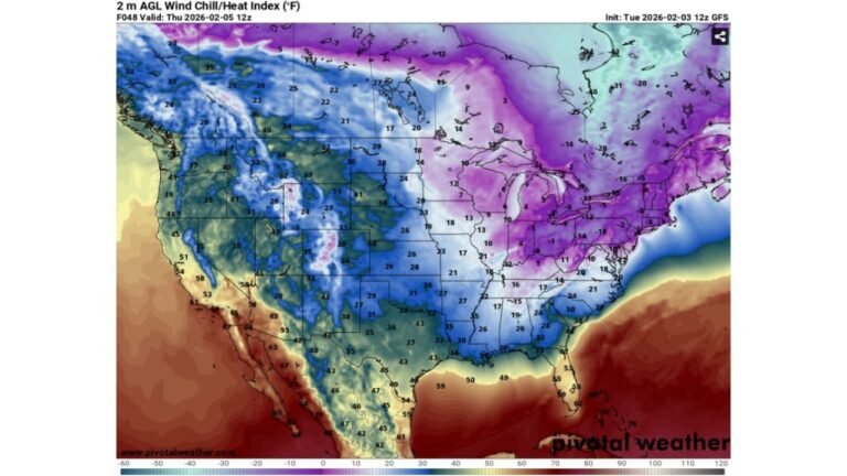
Forecast guidance shows the persistent Arctic air mass that has dominated the region gradually retreating. As this happens, Baltimore should reach or exceed the 40-degree mark by Tuesday or Wednesday, marking a significant shift from recent conditions. This warming trend is expected to be short-lived but noticeable, offering a brief break from the colder-than-normal pattern.
Next Snow Opportunity Appears in the February 14–17 Window
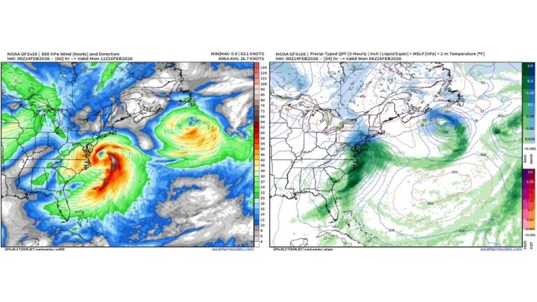
Beyond the midweek warmup, models are highlighting February 14th through February 17th as the next period to watch for winter weather potential. Unlike recent systems, this setup is not expected to feature strong Arctic air, which changes the overall impact profile for the Baltimore area.
Mixed Precipitation More Likely Than All Snow
With cold air retreating, the next system would likely bring a mix of snow, sleet, or rain, rather than a purely snow-driven event. Surface temperatures and marginal thermal profiles suggest accumulation outcomes would depend heavily on timing, storm track, and precipitation rates, especially for areas closer to the Chesapeake Bay and urban corridors.
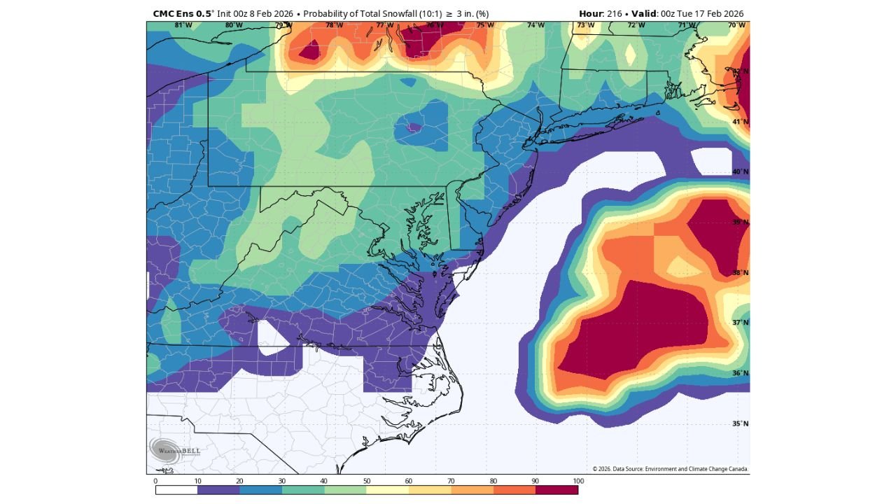
Ensemble Data Shows Measured Snow Potential, Not a Lock
Ensemble guidance from the CMC ensemble system indicates roughly a 40 percent probability of at least 3 inches of snow in the broader Mid-Atlantic region during this window. While that signal is notable, it also underscores that confidence remains moderate at best, with plenty of room for outcomes ranging from minimal accumulation to a more impactful event if colder air re-enters at the right time.
Long Range Signals Still Subject to Change
At this 7–10 day range, forecasters emphasize that details are far from locked in. Small shifts in temperature profiles or storm evolution could significantly alter precipitation type and totals for Baltimore and surrounding communities.
Residents are encouraged to enjoy the upcoming warmup while staying weather-aware heading into the holiday weekend window. Share what you’re seeing locally and keep following updates from CabarrusWeekly.com as forecast confidence improves over the coming days.