East Coast Storm Corridor Taking Shape as Arctic Air and Subtropical Warmth Collide, Raising Risk for Powerful Late-Winter Systems
NORTH CAROLINA — A pronounced thermal boundary setting up along the East Coast is raising concerns for the development of powerful late-winter storm systems, as intense Arctic air clashes with incoming subtropical warmth.
Strong Thermal Clash Developing Offshore
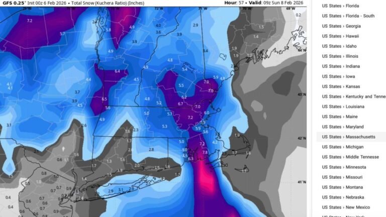
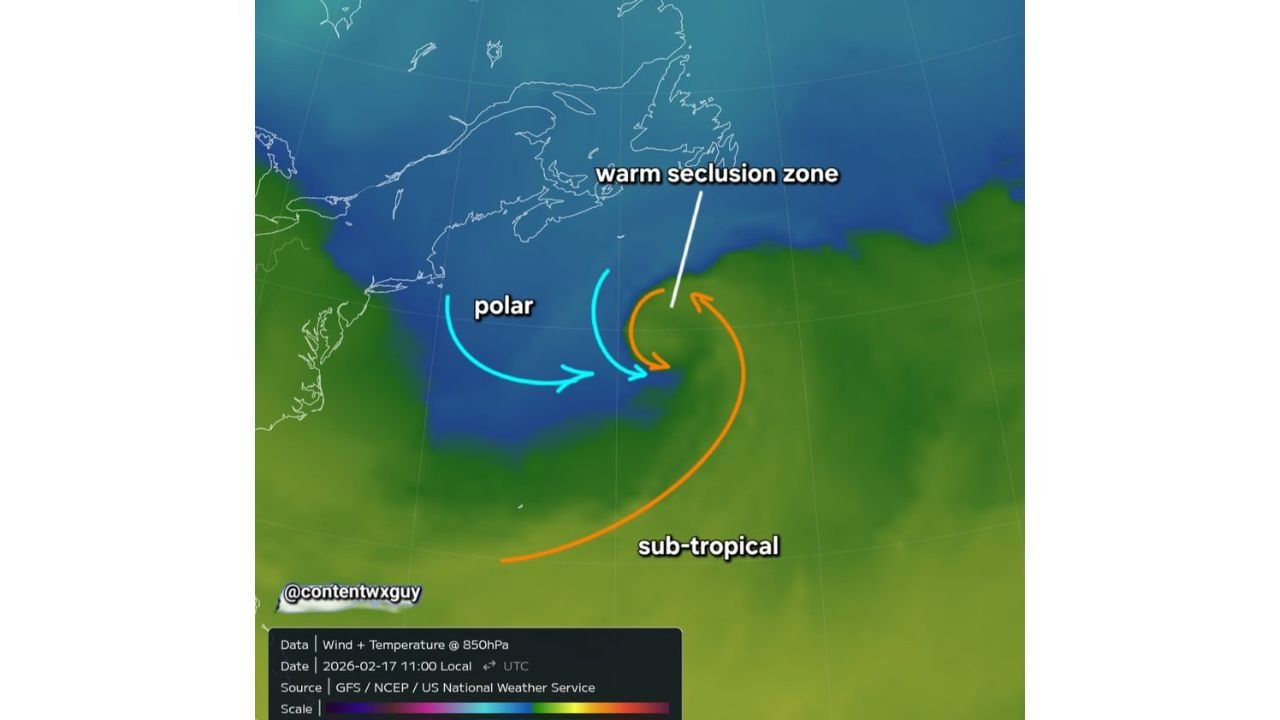
Upper-air analysis at the 850mb level shows a sharp temperature contrast offshore of the Mid-Atlantic and Northeast. Cold polar air is pressing southward from eastern Canada and New England, while milder subtropical air arcs northward from the Atlantic.
This interaction zone — sometimes referred to as a warm seclusion zone — can act as a focal point for rapid cyclogenesis when upper-level energy aligns. The map highlights this tight thermal gradient positioned just off the East Coast, a classic ingredient for strengthening coastal lows.
When such sharp boundaries form, they often serve as breeding grounds for high-impact storms.
Warm Seclusion Setup Can Intensify Coastal Lows
A warm seclusion occurs when a strengthening low wraps warmer air around its core, creating a compact but intense system. These structures are commonly associated with powerful nor’easters capable of producing heavy precipitation, strong winds, and sharp coastal impacts.
With Arctic air still entrenched over portions of the Northeast and warmer Atlantic air attempting to push north, the environment remains favorable for additional storm development through March and even into early April.
This does not guarantee a specific event, but it does suggest that the East Coast remains in an active storm corridor.
East Coast Should Remain Alert Through Early Spring
The clash between lingering winter air and strengthening spring warmth often produces volatile setups. From North Carolina northward through Virginia, Maryland, Delaware, New Jersey, New York, and New England, coastal communities may need to monitor for rapidly intensifying systems in the weeks ahead.
These storms can evolve quickly depending on jet stream placement and offshore temperature contrasts. Even modest disturbances moving along this boundary could strengthen faster than models initially suggest.
Pattern Supports Potential for “Monster” Coastal Systems
While no single storm is being pinpointed at this time, the broader atmospheric pattern supports the possibility of one or more stronger coastal systems before winter fully relinquishes control.
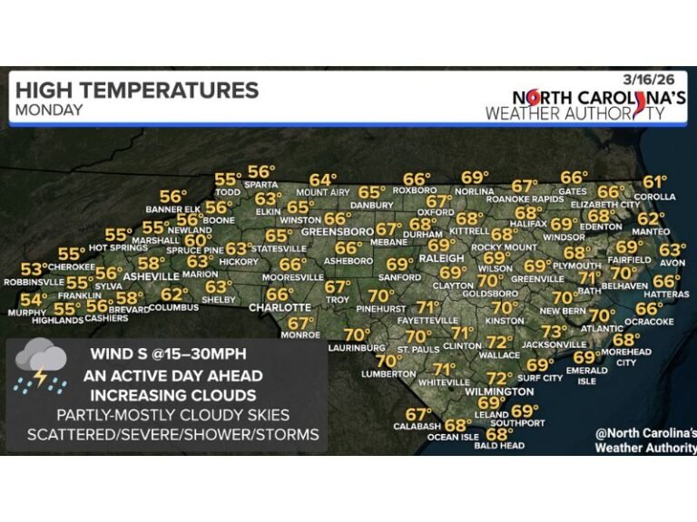
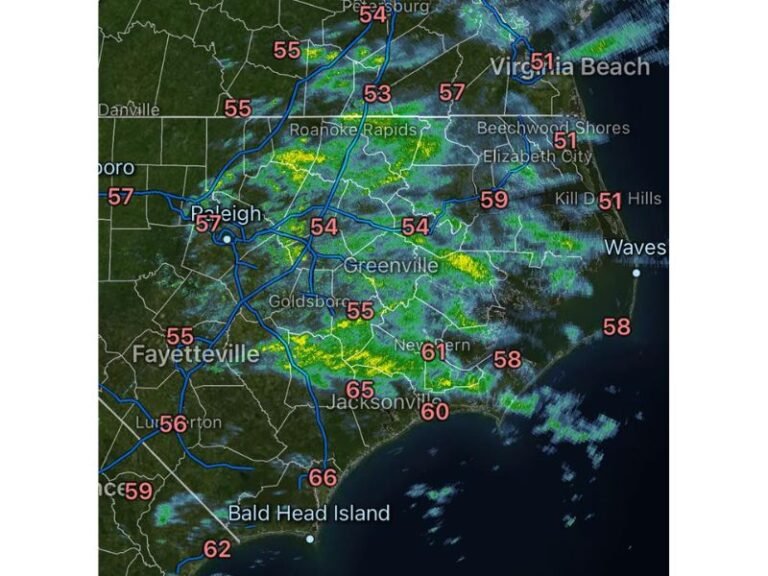
For North Carolina, impacts would depend heavily on storm track. A system tracking farther offshore may limit impacts to gusty winds and coastal rain, while a closer solution could bring heavier precipitation and stronger winds.
As winter transitions toward spring, residents along the East Coast should stay weather-aware. Share your observations and follow ongoing updates at CabarrusWeekly.com as we monitor this evolving coastal storm pattern.