Eastern South Dakota to Northern Michigan Faces 6+ Inches of Snow and 50 MPH Wind Gusts as Major Mid-March Winter Storm Targets the Great Lakes
UNITED STATES — A major winter storm is increasingly likely to deliver widespread impacts from the northern High Plains through the Upper Midwest and into the Great Lakes this weekend, with heavy snow, strong winds and dangerous travel conditions expected from Friday through Monday.
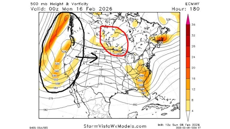
Forecasters indicate high confidence that this system will rapidly strengthen as it moves from the northern High Plains into the Upper Midwest and Great Lakes, producing a broad swath of impactful winter weather.
Snow Expands Friday, Intensifies Sunday Into Monday
Snow is expected to first develop across the northern High Plains on Friday, then gradually expand into the Northern Plains and Upper Midwest on Saturday.
By Sunday and Monday, the storm is forecast to intensify significantly, bringing heavy snowfall and strong winds across portions of:
- Eastern South Dakota
- Southern and central Minnesota
- Wisconsin
- Northern Illinois
- Northern Lower Michigan
- Parts of the Upper Peninsula
The system is expected to exit the region by Tuesday morning.
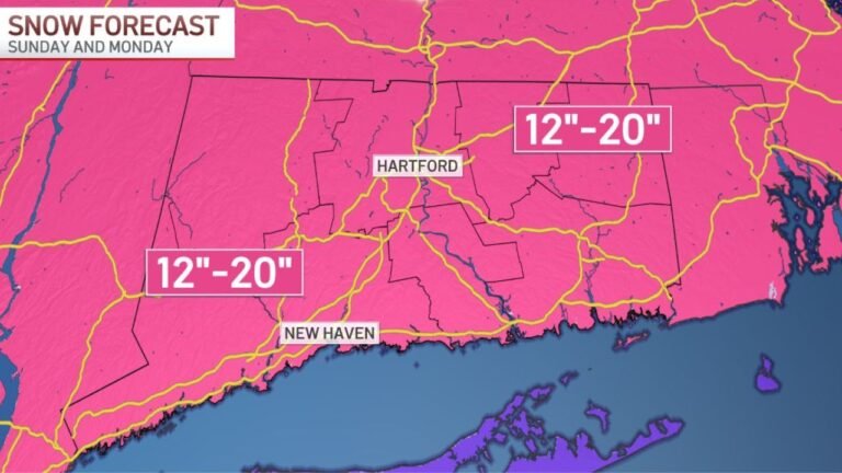
6+ Inches Likely From South Dakota to Michigan
There is greater than a 70 percent chance that at least 6 inches of snow will fall in a broad corridor stretching from eastern South Dakota through northern Lower Michigan.
Within this zone, much higher totals are possible, particularly across parts of Wisconsin and Michigan where the heaviest band sets up.
Snowfall rates may exceed 1 inch per hour at times, increasing the risk for rapid accumulation and deteriorating road conditions.
Wind Gusts 30–50 MPH Raise Blizzard Concerns
In addition to heavy snow, strong winds gusting between 30 and 50 mph are expected to accompany the storm.
The combination of intense snowfall and strong winds could lead to:
- Extremely reduced visibility
- Blowing and drifting snow
- Hazardous driving conditions
- Potentially impossible travel at times
Some areas may approach near-blizzard conditions, especially in open and rural regions.
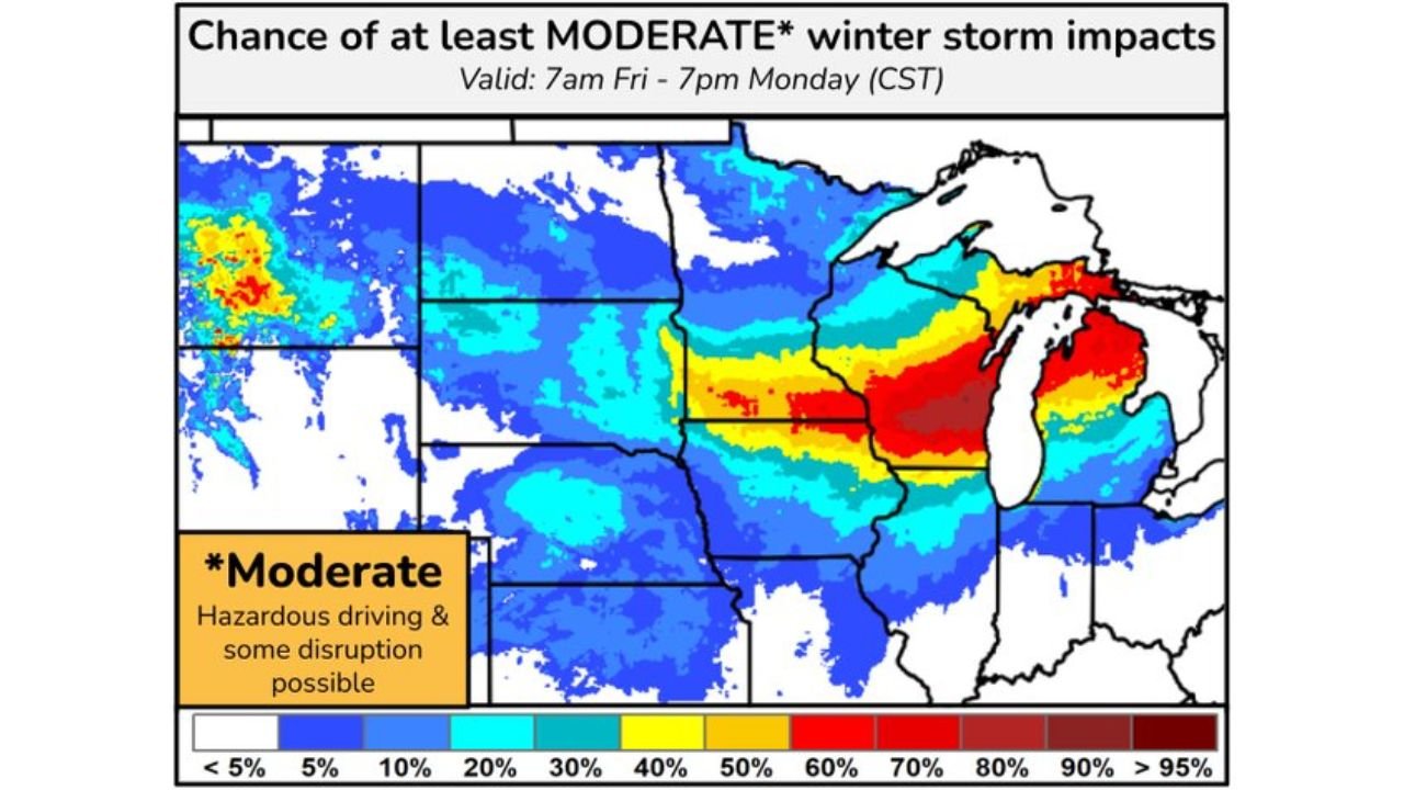
Moderate Winter Storm Impacts Likely
Impact projections highlight a corridor from the Dakotas through Wisconsin and into Michigan where at least moderate winter storm impacts are likely.
Moderate impacts include:
- Hazardous driving
- Travel delays and disruptions
- School and business interruptions
- Increased risk of vehicle accidents
The greatest concentration of impact potential appears focused across parts of Wisconsin and Lower Michigan.
Forecast Track Still Critical
Although confidence is high that a significant storm will occur, some uncertainty remains regarding the exact track of the low-pressure system.
Small shifts in the storm path could change where the heaviest snow and strongest winds occur, potentially shifting the highest impact corridor north or south.
Residents across the northern Plains, Upper Midwest and Great Lakes should monitor forecast updates closely through the weekend.
Bottom Line
A powerful mid-March winter storm is poised to bring widespread heavy snow and wind gusts up to 50 mph from the High Plains to the Great Lakes.
With at least 6 inches of snow likely in a large swath from eastern South Dakota to northern Michigan — and higher totals possible — travel conditions could become dangerous or even impossible at times Sunday into Monday.
CabarrusWeekly.com will continue tracking this developing storm and provide updates as the system approaches peak intensity.