Explosive Tuesday Storm Setup Builds From Texas to Great Lakes With Tornadoes, Giant Hail and Long-Track Supercells Possible
UNITED STATES — A potentially dangerous and significant severe weather event is expected to unfold Tuesday across a large portion of the central United States, with conditions aligning for long-lived storms and multiple severe hazards.
Large-Scale Severe Weather Setup Expands Across Central U.S.
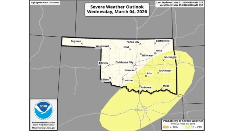
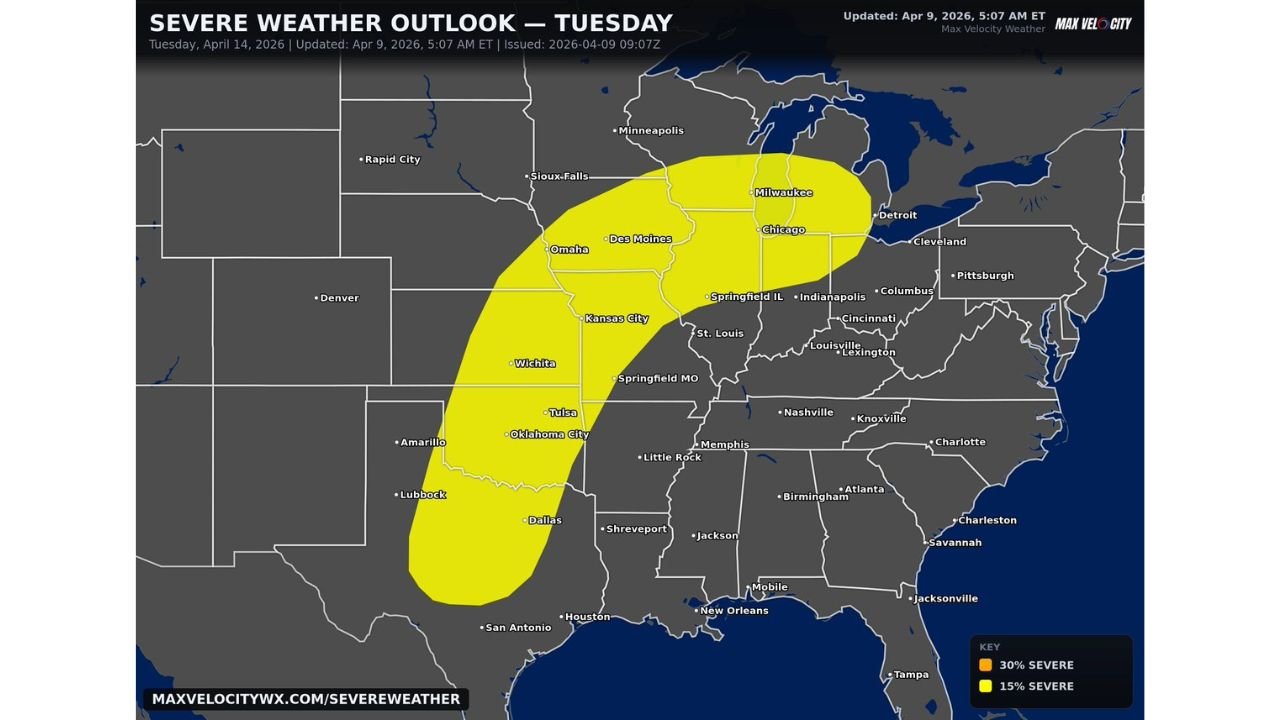
The severe weather threat will stretch from north Texas and Oklahoma through Kansas, Missouri, Iowa, Illinois, Wisconsin, and into parts of Michigan, covering a broad and highly populated region.
This expansive setup indicates a large and organized storm system, with the potential to impact major cities including Dallas, Oklahoma City, Wichita, Kansas City, Des Moines, Chicago, and Milwaukee.
Atmospheric Conditions Favor Dangerous Storm Development
Following several days of ongoing storm activity, the atmosphere is expected to remain highly unstable. As a powerful system moves into this environment, it will support organized and sustained thunderstorm development.
This setup is particularly concerning because it favors long-lived supercells, which are capable of producing the most intense forms of severe weather.
All Severe Hazards Expected Including Tornadoes
Storms developing on Tuesday could bring very large hail, damaging winds, and tornadoes, with all hazards possible across the region.
The structure of the atmosphere suggests storms may become more persistent and organized, increasing the likelihood of widespread impacts rather than isolated storms.
Elevated Concern for Stronger and More Widespread Impacts
One of the key concerns with this setup is the potential for storms to maintain intensity over longer distances. This raises the risk for broader impact zones across multiple states at once.
As confidence continues to increase in storm coverage and timing, there is also a growing possibility of a higher risk upgrade, which would indicate an even more significant severe weather event.
Timing and Areas to Monitor Closely
The most active period is expected during Tuesday afternoon through late evening, when instability and storm organization are expected to peak.
Areas from the Southern Plains through the Midwest and into the southern Great Lakes should closely monitor conditions, as storms may rapidly intensify and track across state lines.
What This Means for Residents
This developing situation represents a high-end severe weather potential, especially given the combination of multiple hazards and the large geographic footprint.
Residents across Texas, the Central Plains, and the Midwest should remain alert and prepared for rapidly changing weather conditions as Tuesday approaches.
Stay with CabarrusWeekly.com for the latest updates, and share what conditions you are seeing in your area as this severe weather threat develops.