Florida, Georgia, and the Carolinas Face Timing Battle Between Approaching Rain and Daytona as Frontal System Advances Next Weekend
UNITED STATES — Forecast guidance is increasingly highlighting a tight timing scenario next weekend, as an advancing frontal system pushes rain toward Florida and the Southeast at the same time major outdoor events are scheduled around Daytona.
Meteorologists describe the setup as a race between approaching rainfall and event timing, with subtle differences between models determining whether conditions remain dry long enough before precipitation arrives.
Frontal Rain Shield Advances Toward the Southeast
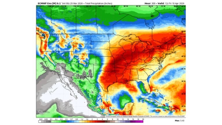
Multiple global models show a broad area of rain developing over the Gulf Coast and Deep South, then lifting northeastward toward Florida, Georgia, South Carolina, and North Carolina. The rain shield is tied to a strengthening frontal boundary pushing eastward late in the weekend.
Rain coverage appears widespread rather than scattered, indicating a synoptic-scale system instead of isolated showers.
Model Differences Center on Timing, Not Rain
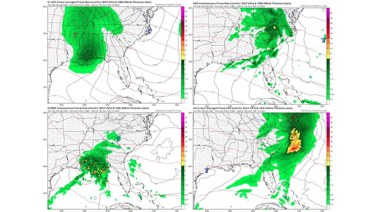
While confidence is high that rain will impact the Southeast, exact timing remains the key uncertainty. Some guidance brings rain into north and central Florida earlier on Sunday, while others delay the bulk of precipitation until later in the day or into Sunday evening.
European-based guidance favors a slightly faster progression, increasing the likelihood that rain reaches Daytona sooner rather than later. Other models maintain a slower solution, briefly extending dry conditions.
What This Means for Daytona and Central Florida
Because the rain shield is expansive, once it arrives, conditions are unlikely to improve quickly. Forecast confidence is growing that at least part of Sunday will be affected by rain, making scheduling decisions sensitive to even small timing shifts.
Cloud cover is expected to increase ahead of the rain, which could also impact temperatures and track conditions even before precipitation begins.
Southeast Impacts Extend Beyond Florida
As the front advances, rain spreads into Georgia and the Carolinas, including parts of central and eastern North Carolina. While rainfall intensity may vary, the system appears capable of producing steady periods of rain rather than brief showers.
This setup aligns with a broader active weather pattern affecting the eastern United States during the second half of the month.
What to Watch Over the Next Several Days
Forecasters will closely monitor:
- Whether the faster European solution continues to dominate
- How quickly Gulf moisture surges northward
- Any slowing or acceleration of the frontal boundary
Small changes in timing will make a significant difference for outdoor plans across Florida and the Southeast.
If you’re tracking conditions locally or planning to be outdoors next weekend, stay weather-aware and follow continued updates at CabarrusWeekly.com.