HRRR Model Intensifies Severe Storm Signal Across Indiana and Illinois While North Carolina Watches Pattern Shift Into Early March
NORTH CAROLINA — A strengthening severe weather signal over parts of the Midwest is drawing attention tonight, as high-resolution model data shows intensifying thunderstorms across Indiana and Illinois while the broader pattern begins shifting east toward the Carolinas.
HRRR Shows Increasing Storm Intensity Over Indiana
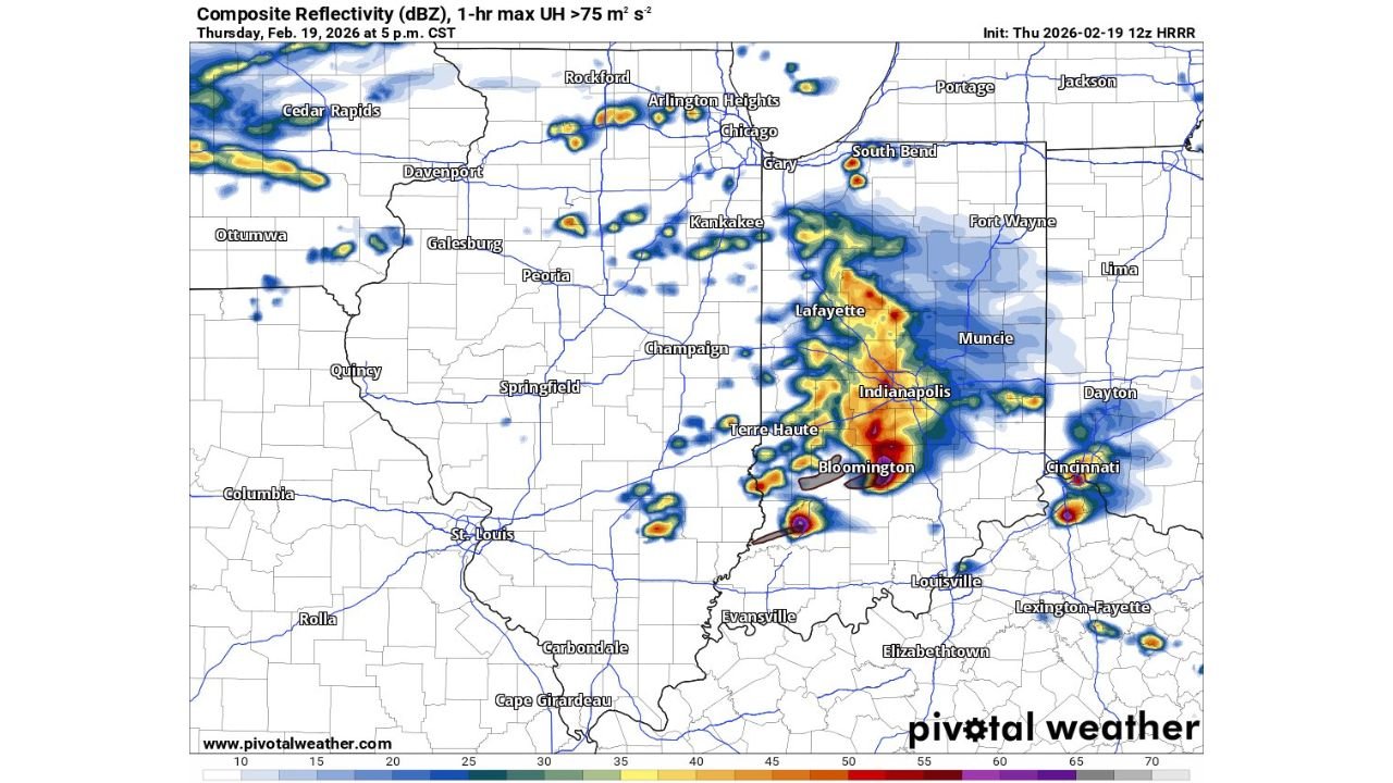
The latest HRRR composite reflectivity guidance valid 5 p.m. CST Thursday, February 19, 2026, shows a pronounced uptick in storm organization across central and southern Indiana.
A concentrated corridor of strong reflectivity stretches from Lafayette through Indianapolis down toward Bloomington, with embedded cores indicating high updraft potential. The model highlights localized areas of enhanced rotation parameters, suggesting the potential for strong thunderstorms capable of severe characteristics.
Storm cells are also developing farther south near Terre Haute, while additional activity extends east toward Muncie and Cincinnati.
Northern Illinois Sees Scattered Strong Cells
Farther north, scattered but intense cells appear near Arlington Heights, Chicago, and Gary, with additional activity between Rockford and the Illinois-Wisconsin border.
Though more isolated compared to Indiana’s concentrated cluster, these cells show elevated reflectivity values, indicating pockets of heavy rainfall and potentially gusty winds. The HRRR’s increasing intensity trend is notable, especially since earlier runs were less aggressive.
This strengthening signal aligns more closely with other high-resolution guidance that has consistently suggested a more robust solution over the past several days.
Midwest Severe Setup Highlights Pattern Contrast
The developing storm complex across Indiana and Illinois underscores the sharp atmospheric contrast in place across the central United States.
Strong instability and dynamic forcing across the Ohio Valley and lower Great Lakes region are fueling thunderstorm growth, while the southeastern U.S. — including North Carolina — remains on the periphery of the more intense convection.
However, the broader upper-level pattern responsible for Midwest storm development is expected to gradually shift eastward in the coming days.
What This Means for North Carolina
For Cabarrus County and surrounding communities, the immediate severe threat remains confined to the Midwest. But the same evolving system supports a transition toward a more unsettled and moisture-rich pattern across the Southeast as we close out February.
As the storm track inches east and cooler air interacts with increasing Gulf moisture, North Carolina could see:
Increasing rain chances late February into early March
Periods of thunderstorms as fronts move through
Noticeable temperature swings behind passing systems
While current data does not show a concentrated severe outbreak signal locally, the atmospheric setup favors active weather rather than prolonged calm conditions.
Monitoring the Shift Into Early March
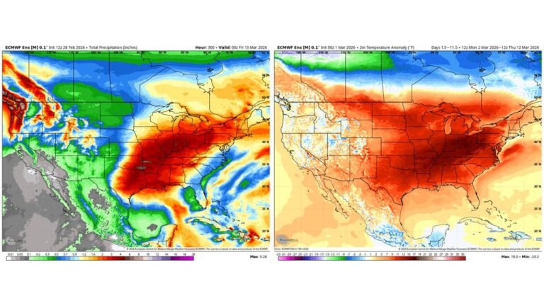
The HRRR’s intensifying storm depiction over Indiana serves as a reminder of how quickly late-winter systems can strengthen. As these systems translate eastward, forecast confidence is growing in a pattern featuring repeated frontal passages and above-normal precipitation potential for the Carolinas.
Residents should stay alert for forecast updates, especially as timing becomes clearer regarding individual rain and thunderstorm events.
If you have family or travel plans in Indiana, Illinois, or Ohio, conditions there could become hazardous during peak storm hours.
As always, share your local weather observations with us and stay informed with the latest updates at CabarrusWeekly.com.