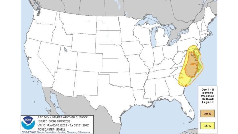
Isolated Supercells Possible from Texas Panhandle to Oklahoma This Afternoon as Drier Air Limits Widespread Severe Threat
TEXAS PANHANDLE AND OKLAHOMA — A narrow corridor from the Texas Panhandle into western and central Oklahoma could see a few isolated severe thunderstorms this afternoon, including the potential for surface-based supercells.
However, forecasters note that a push of drier air into the region is expected to limit the overall coverage and intensity of storms.
Severe Risk Focused Along Narrow North–South Corridor
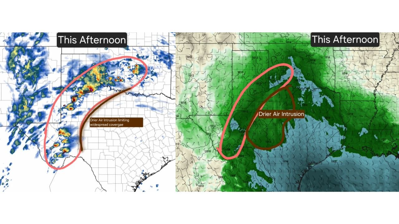
High-resolution model guidance highlights a band of developing storms stretching from the eastern Texas Panhandle northward into western and central Oklahoma.
Communities near Amarillo, Guymon, and extending toward western Oklahoma appear within the primary zone where storms may intensify during the afternoon hours. Radar projections show scattered cells forming along this corridor rather than a solid, widespread line.
This setup favors isolated storm development, not a broad outbreak.
Surface-Based Supercells Possible
Atmospheric conditions could briefly support a few surface-based supercells, particularly where moisture and instability are strongest.
Surface-based storms are more capable of producing stronger wind gusts, hail, and possibly localized rotation. However, the window for sustained organization appears limited.
The most favorable timeframe for stronger storm development will be during peak heating this afternoon.
Drier Air Intrusion Acting as a Limiting Factor
A key feature in today’s setup is the intrusion of drier air pushing into the moisture field from the west and southwest. Model moisture maps show this drier air undercutting deeper Gulf moisture return across portions of West Texas and western Oklahoma.
This dry intrusion is expected to:
• Reduce storm coverage
• Limit widespread severe development
• Create more scattered, hit-or-miss activity
While isolated severe storms remain possible, the environment does not appear supportive of a broad or long-lived outbreak.
Overall Threat Remains Limited
Forecasters emphasize that although a few storms could briefly reach severe limits, the overall severe weather potential should remain limited due to moisture disruption and storm coverage constraints.
Residents across the Texas Panhandle and Oklahoma should still monitor conditions this afternoon, particularly if localized cells intensify quickly.
Bottom Line
This afternoon’s weather setup from the Texas Panhandle into Oklahoma supports the possibility of isolated severe supercells, but drier air intrusion is expected to cap the broader threat.
Storms that do form could briefly produce strong winds or hail, yet widespread severe impacts are unlikely at this time.
If storms develop in your area, share your local observations and conditions with us at CabarrusWeekly.com.