Kansas, Nebraska, Iowa and Missouri Under Marginal Severe Storm Risk as SPC Flags Central Plains for Wednesday
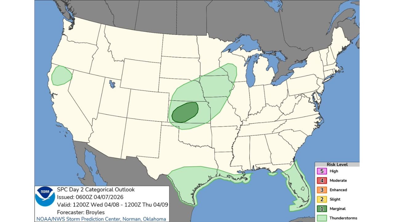
KANSAS — The Storm Prediction Center has outlined a Day 2 Marginal Risk for severe weather across parts of the central Plains into the Midwest, signaling the potential for isolated strong storms on Wednesday, April 8.
The outlook highlights a broad but low-end risk zone, with the highest concentration centered from central Kansas into southeastern Nebraska and southwestern Iowa, extending northeastward toward parts of the Upper Midwest.
Core Risk Area Focused Over Central Plains
The most notable area of concern includes:
- Central and eastern Kansas
- Southeastern Nebraska
- Southwestern Iowa
- Portions of northwestern Missouri
Within this region, a slightly more focused zone suggests better storm organization potential, though overall risk levels remain limited.
What “Marginal Risk” Means
A Marginal Risk (Level 1 out of 5) indicates:
- Isolated severe storms possible
- Limited coverage and intensity compared to higher risk categories
- Most storms will remain below severe limits, but a few could produce impacts
Potential hazards include:
- Brief strong wind gusts
- Small hail
- Isolated lightning-heavy storms
Storm Development Setup
The setup suggests:
- A developing system across the Plains
- Increasing moisture and instability
- Conditions supportive of scattered thunderstorm development during the day and evening
However, the lack of stronger dynamics keeps the threat localized rather than widespread.
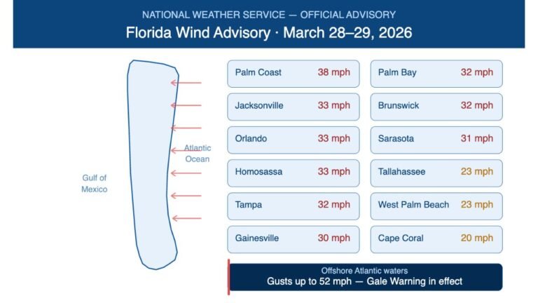
Additional Thunderstorm Areas Along the Gulf Coast and Florida
Outside the central Plains, broader non-severe thunderstorm activity is expected across:
- Texas Gulf Coast
- Louisiana, Mississippi, Alabama
- Florida Peninsula
These areas fall under general thunderstorm zones, meaning:
- Periods of rain and storms are likely
- Severe weather is not the primary concern, but locally heavy rain and lightning are possible
Northern Tier Also Sees Limited Activity
A small pocket of activity is also indicated over parts of:
- The northern Rockies / interior West
This region may see isolated thunderstorms, but impacts are expected to remain minimal.
Timing and What to Watch
The severe risk window will likely:
- Develop during the afternoon and evening hours Wednesday
- Shift gradually east or northeast overnight
Residents in the central Plains should monitor for:
- Rapid storm development
- Brief strong storms that could impact localized areas
Stay With Cabarrus Weekly for Storm Updates
Cabarrus Weekly will continue tracking this developing pattern as the central United States transitions into a more active severe weather period heading deeper into April.
Stay tuned for updates on storm timing, intensity changes, and any upgrades to risk levels in the coming days.