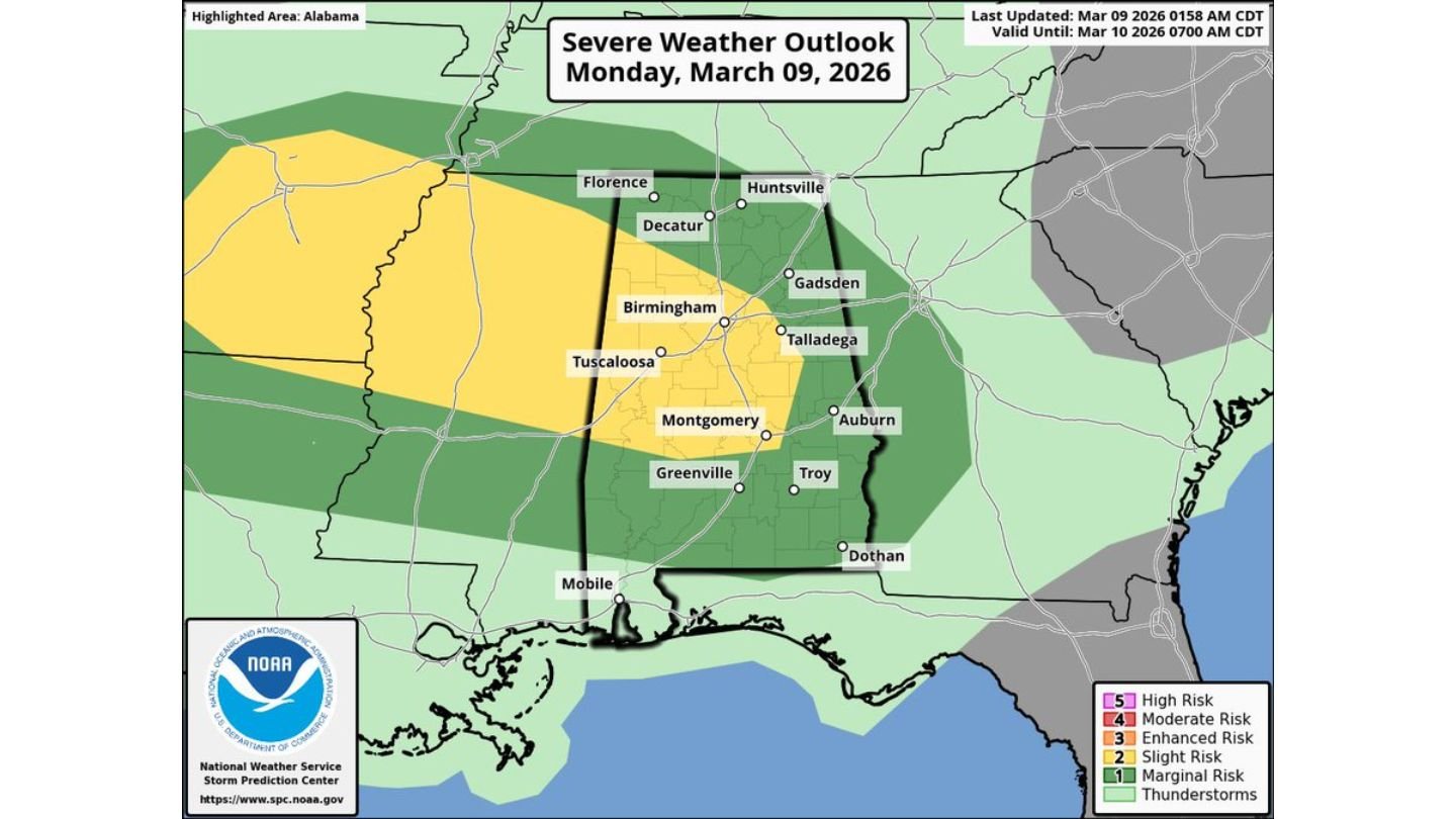
Large Hail Headlines Alabama Severe Threat Monday as Birmingham, Tuscaloosa and Montgomery Face 3PM–Midnight Storm Window
ALABAMA — Thunderstorms are expected to develop across the state Monday afternoon and continue into the evening, with some storms potentially becoming strong to severe. The primary concern is large hail, though a low-end tornado threat is also in place.
Forecasters highlight a main severe weather window from roughly 3:00 PM until midnight, when storm coverage and intensity are expected to peak.
Statewide Risk Area
The severe weather outlook places much of Alabama under a risk for strong storms, including key cities such as:
- Birmingham
- Tuscaloosa
- Montgomery
- Huntsville
- Decatur
- Gadsden
- Auburn
- Troy
- Dothan
- Mobile
A slightly higher concentration of severe potential extends across central and northern Alabama, including the Birmingham and Tuscaloosa corridors.
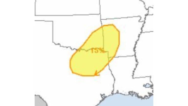
Primary Threat: Large Hail
The leading concern with Monday’s storms is large hail, supported by steep lapse rates in the atmosphere. This setup can allow storms to produce strong updrafts capable of suspending hailstones long enough to grow in size before falling to the ground.
The severe hail outlook shows a focused corridor stretching from western into central Alabama, including:
- Florence
- Decatur
- Birmingham
- Tuscaloosa
- Montgomery
Hail could reach severe limits in stronger storms, particularly during the late afternoon and early evening hours.
Low-End Tornado Risk
In addition to hail, there is a low-end tornado threat across parts of central and southern Alabama.
The tornado probability zone includes:
- Birmingham
- Tuscaloosa
- Montgomery
- Greenville
- Auburn
- Troy
While the tornado risk is not the primary concern, isolated tornado development cannot be ruled out, especially in storms that remain discrete and organized.
Storm Timing: 3PM to Midnight
The most active period is expected to occur:
- Mid-afternoon (around 3 PM) as storms begin developing
- Through the evening hours
- Potentially lasting until around midnight
Storm intensity may fluctuate, but the late afternoon into early evening timeframe appears to be the most favorable for stronger storms.
What This Means for Residents
With storms arriving during peak travel and evening hours, residents across central and northern Alabama should remain weather-aware. Even if tornado potential remains limited, hail-producing storms can still cause:
- Vehicle damage
- Roof damage
- Broken windows
Wind gusts may also accompany stronger cells.
Bottom Line
Strong to severe thunderstorms are likely across Alabama Monday afternoon and evening, with the greatest concern being large hail. A low-end tornado risk also exists, particularly across central portions of the state including Birmingham, Tuscaloosa and Montgomery. The main severe window runs from 3 PM through midnight.
CabarrusWeekly.com will continue monitoring forecast updates and any changes to the severe threat as storms develop.