Multi-State Winter Storm Slams South and Midwest With Snow, Ice, and Flooding From Texas to the Carolinas
CABARRUS COUNTY, NORTH CAROLINA — A massive, high-impact winter storm continues to sprawl across the southern and central United States, unleashing a chaotic mix of heavy snow, crippling ice, and soaking rain from Texas through the Midwest and into the Southeast, with impacts now stretching toward the Carolinas as the system evolves.
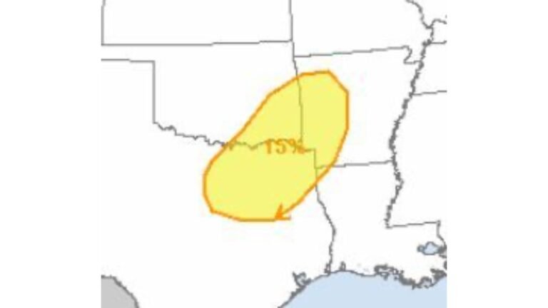
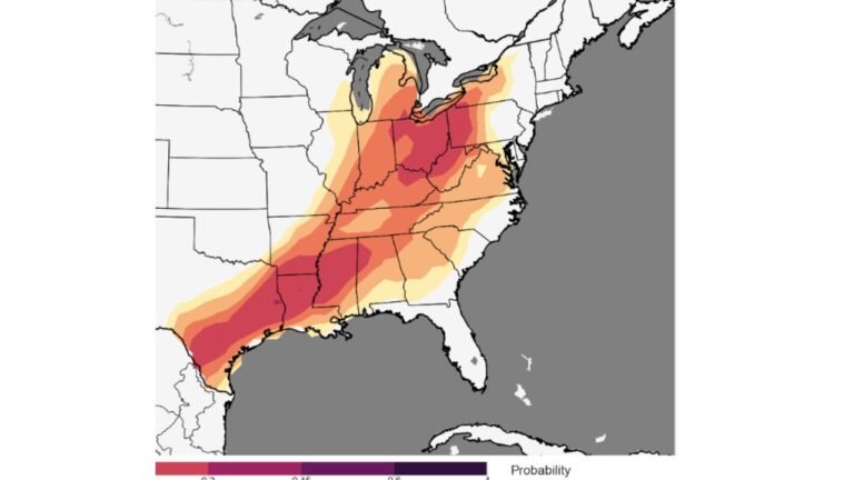
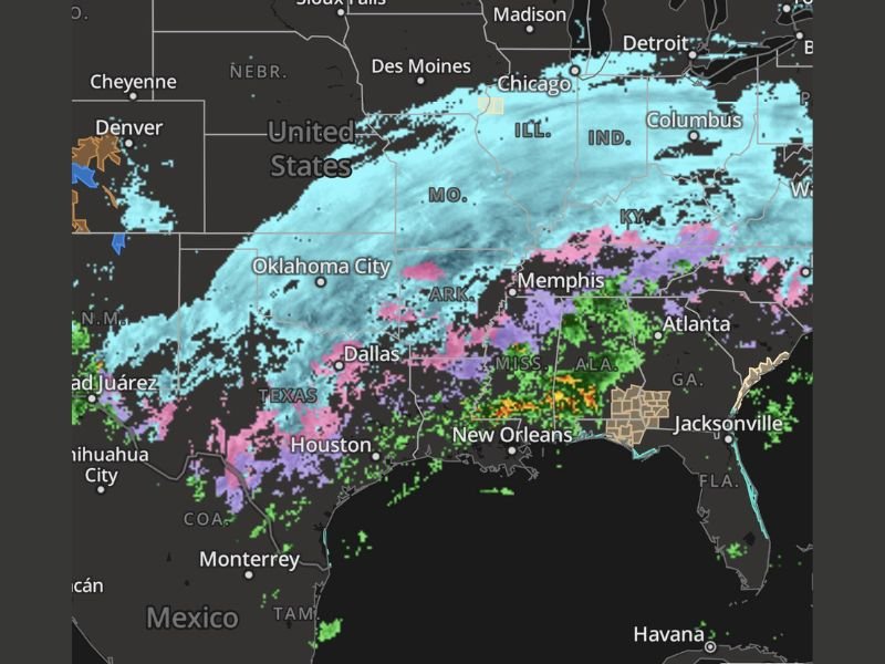
Radar imagery and regional observations show a sharp north-to-south gradient of hazards, with snow piling up across the Midwest, a dangerous ice corridor cutting through the mid-South, and intense rainfall hammering Gulf Coast states.
Snow Blankets the Midwest With Dangerous Travel Conditions
Across the northern side of the storm, widespread snowfall is ongoing from Oklahoma and Missouri through Illinois, Indiana, and into Ohio. Radar shows a continuous shield of snow extending northeastward, with moderate to heavy bands producing rapidly deteriorating road conditions.
Several locations are reporting snowfall rates strong enough to significantly reduce visibility, especially during overnight and early morning hours. Untreated roads, bridges, and interstates are becoming snow-covered quickly, increasing the risk of crashes and travel shutdowns.
Ice Corridor Creates Major Hazard Zone From Texas Through the Mid-South
South of the heavy snow axis, a wide swath of freezing rain and sleet is creating one of the most dangerous parts of this storm. Portions of Texas, Arkansas, northern Louisiana, Mississippi, and parts of Alabama are seeing widespread ice accumulation.
This zone poses a serious threat for:
- Power outages from ice-laden trees and power lines
- Vehicles losing traction on untreated roads
- Emergency response delays due to impassable conditions
Radar signatures show mixed precipitation constantly changing types, making conditions unpredictable and especially hazardous for motorists.
Gulf Coast and Deep South Hit With Torrential Rainfall
Farther south, the storm transitions into heavy rain impacting coastal Texas, Louisiana, Mississippi, Alabama, and parts of Georgia. Thunderstorms embedded within the rain shield are producing periods of intense rainfall, raising concerns for localized flooding. Urban areas, low-lying roadways, and drainage systems are particularly vulnerable as rain continues to fall on already saturated ground.
Storm System So Large It Covers Multiple Weather Zones at Once
Meteorologists note that what makes this system remarkable is not just its intensity, but its sheer size. At one time, the storm is producing:
- Heavy snow across the Midwest
- Significant icing across the mid-South
- Flooding rain along the Gulf Coast
This type of widespread, multi-hazard setup is uncommon and increases strain on infrastructure, emergency services, and power utilities across multiple states simultaneously.
What This Means for North Carolina and Cabarrus County
While Cabarrus County is not currently in the heaviest snow or ice bands, the broader system’s eastern reach continues to be monitored closely. As the storm progresses, changing temperatures and shifting precipitation zones could still bring impacts to parts of North Carolina, especially if colder air pushes farther south.
Residents are urged to stay alert to updated forecasts, especially for overnight temperature drops that could cause rain to freeze on roadways.
Safety Officials Urge Caution as Storm Continues
Emergency officials across impacted states are advising residents to avoid unnecessary travel, prepare for possible power outages, and stay informed through official weather updates. Even areas outside the worst bands can experience sudden hazards as conditions shift.
This storm remains dynamic, and impacts will continue to evolve as it tracks eastward. Stay informed, stay prepared, and check back with CabarrusWeekly for continued updates as this major winter storm unfolds.