North Carolina Braces for Polar Push After Underwhelming Snow, With Colder Sunshine Wednesday and a Potentially Bitter Saturday Morning
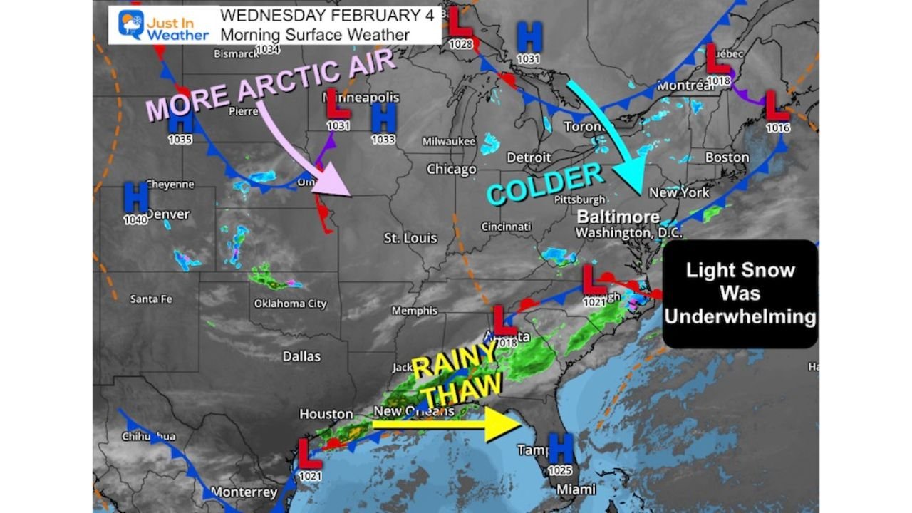
NORTH CAROLINA — The Mid-Atlantic’s overnight snow turned out to be more of a whimper than a wallop, but the bigger story for the rest of this week is what follows behind it: steadily colder air, a small light-snow chance Friday, and a polar push that could make Saturday morning the coldest stretch of the winter for many communities east of the Appalachians.
Overnight Snow Came Up Short, But the Cold Air Didn’t
The morning recap points to an “underwhelming” snow event—one that looked more promising earlier, but ended up producing less impact for most locations. That kind of outcome is common when a weak system passes through quickly and the best lift never fully organizes.
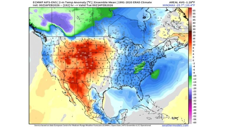
Even when snow underperforms, the atmosphere can still deliver the other half of the equation: the colder air mass behind the system. And that is exactly what the broader maps are signaling—cold air pressing in from the north and west, with temperatures trending down again through the end of the week.
Wednesday Afternoon Brings Sunshine, But It Will Feel Sharper
By Wednesday afternoon, skies improve and sunshine returns for many areas, but temperatures won’t rebound much. The morning temperature map shows the classic winter divide: 30s dominating much of the Mid-Atlantic and interior Southeast, with 40s to 50s closer to the Gulf Coast, and the coldest core still parked farther north.
For Cabarrus County, this is the type of day that looks pleasant through the window but feels noticeably colder once you step outside—especially if any breeze sticks around after the frontal passage.
Light Snow Chance Friday Afternoon and Evening
A new wave late in the week brings a light snow chance Friday afternoon into Friday evening, mainly focused farther north across the Mid-Atlantic corridor, where guidance shows a zone of light snow and snow showers.
For North Carolina, the important signal is not a guaranteed snow event in the Piedmont—it’s that the pattern stays cold enough that any moisture that does reach the region has to be watched carefully, especially after dark when surface temperatures fall. Even when “snow” doesn’t verify locally, these setups can still produce cold rain, a mix, or spotty flurries north of the state line, and they can impact travel for anyone driving toward Virginia, D.C., Maryland, or Pennsylvania.
Polar Push Saturday Morning Could Be the Coldest of the Winter
The most attention-grabbing part of the outlook is the polar push arriving by Saturday morning. The Saturday 7 a.m. temperature map shows a deep cold pool over the Mid-Atlantic and Northeast with widespread single digits and teens, and even pockets near or below zero farther inland and north.
That kind of air mass typically spills into the Carolinas on the southern edge, and while Cabarrus County is not expected to match the extreme numbers shown farther north, the setup strongly suggests a notably cold start Saturday morning, with teens possible in colder pockets and wind making it feel even harsher.
In practical terms: Saturday morning is the window most likely to bring the “this feels like mid-winter” punch—frost on windshields, bitter air at bus stops, and the kind of chill that makes short outdoor tasks feel longer.
What Cabarrus County Residents Should Do Before the Coldest Morning
With the cold building in and peaking around Saturday morning, a few simple steps can prevent common winter headaches:
- Protect pipes in vulnerable spots (especially exterior-wall plumbing) and know where your shutoff is
- Bring pets inside and check outdoor water sources, which can freeze quickly
- Plan for a slower start Saturday if you have early errands—cars may need extra warm-up time and windshields may ice over
- Dress for wind chill, not just the temperature (a wind-blocking layer matters)
What We’re Watching Next
The next updates that matter most are straightforward:
- Whether the Friday light-snow chance expands south or stays mainly north of North Carolina
- How strong the Saturday morning cold becomes in the Piedmont compared to current expectations
- Whether winds stay elevated, which can turn “cold” into “dangerously uncomfortable” fast
If you’re in Cabarrus County, tell us what you’re seeing overnight into Saturday morning—especially low temperatures, wind chill, and any slick spots early. Local reports help other readers plan smarter as this colder stretch locks in.