North Carolina Winter Weather Alert: Freezing Drizzle From Clipper System Could Create Icy Roads Across Central and Southern North Carolina Friday Morning
CABARRUS COUNTY, NORTH CAROLINA — A fast-moving winter clipper system passing north of the Carolinas is setting up a freezing drizzle risk across parts of central and southern North Carolina early Friday, raising concerns for slick roads and light icing during the morning commute.
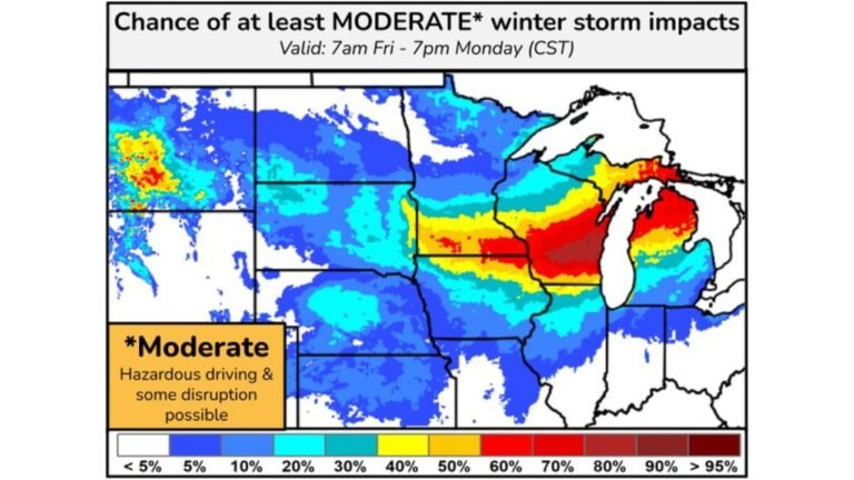
While heavier snow associated with this system remains well north of the state, North Carolina sits along the southern edge of the storm, where atmospheric conditions favor freezing drizzle instead of snow, especially before sunrise Friday.
Why Freezing Drizzle Is the Main Concern for North Carolina
Forecast guidance, including high-resolution short-range models, shows limited moisture and weak lift over North Carolina, which prevents snow from fully developing. Instead, supercooled liquid droplets fall through shallow cold air near the surface, freezing on contact with roads, bridges, and elevated surfaces.
This setup explains why freezing drizzle—not snow—is expected, even though surface temperatures remain near or below freezing early Friday morning.
Ice Accumulation Expected to Be Light but Impactful
Ice amounts are expected to be very light, generally a thin glaze, but even small accumulations can cause problems.
Potential impacts include:
- Slick roads, especially on bridges and overpasses
- Reduced traction during early morning travel
- Isolated slick sidewalks and untreated surfaces
The highest risk window appears to be pre-dawn through mid-morning Friday, before temperatures rise above freezing.
Areas Most Likely to See Freezing Drizzle
Based on current guidance, the highest freezing drizzle risk includes:
- Cabarrus County
- The Charlotte metro area
- Parts of the North Carolina Piedmont
- Southern and central counties near the South Carolina border
Coverage is expected to be spotty, meaning some locations may see icy conditions while nearby areas remain unaffected.
Why This Is a Short-Duration Event
The clipper system is fast-moving, and warmer air just above the surface will gradually mix down as winds shift. This should allow temperatures to rise above freezing by late morning or midday, limiting how long icy conditions persist.
Once temperatures recover, any lingering drizzle will fall as plain rain with no additional icing concerns.
Travel and Safety Takeaways for Friday Morning
Residents should plan for:
- Slower travel early Friday
- Extra caution on untreated roads
- Monitoring local advisories if temperatures drop more than expected
Even without snow, freezing drizzle can be deceptively dangerous, especially during the morning commute.
What Happens Next
After Friday’s brief icing risk, temperatures trend milder, and no significant winter precipitation is expected immediately after this event for central North Carolina. However, forecasters continue to monitor additional systems moving across the eastern U.S. in the days ahead. Cabarrus Weekly will continue tracking updates and issue alerts if conditions change overnight.


