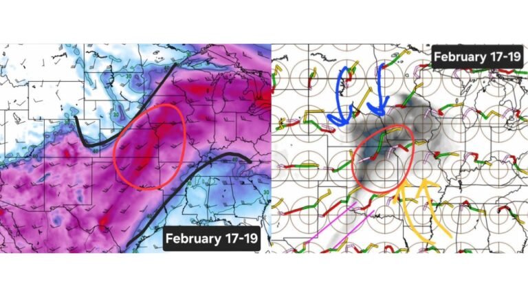
Ohio Winter Thaw Incoming: Well Above Average Temperatures to Melt Snow and Ice While Great Lakes Stay Cooler
OHIO — A widespread surge of above-average temperatures is set to sweep across the eastern United States, bringing a noticeable winter thaw to much of Ohio and accelerating the melt of lingering snow and ice. For many communities, this marks the first significant stretch of sustained warmth in several weeks.
Well Above Average Temperatures Spread Across the Eastern U.S.
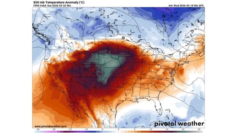
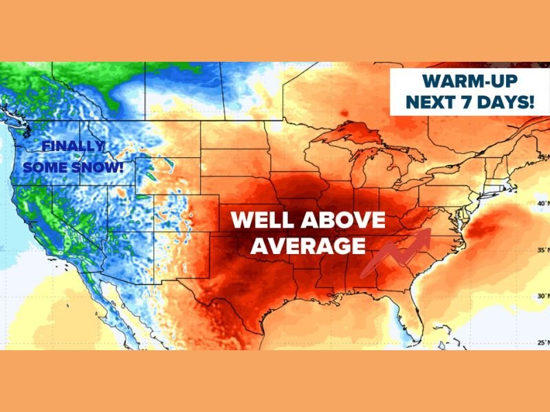
Forecast guidance shows a broad zone of well above average temperatures expanding from the central Plains through the Midwest and into the Ohio Valley and Northeast over the next seven days.
Ohio sits squarely within this warmer air mass. Afternoon highs are expected to climb well above seasonal norms, allowing accumulated snow and ice to steadily diminish by late weekend or early next week. This pattern shift reflects a larger atmospheric adjustment, with milder air pushing northward and replacing recent cold-dominated conditions.
Snow and Ice Melt Likely Across Much of Ohio
With temperatures trending above normal for several consecutive days, most of Ohio should see gradual melting of snowpack and ice-covered surfaces. Side streets, sidewalks, and untreated areas will likely clear more quickly as daytime warmth combines with longer February daylight hours. However, melting will not be uniform statewide.
Cooler Conditions Near Lake Erie
Communities closest to Lake Erie and the northern Great Lakes shoreline are likely to remain comparatively cooler. The presence of cold lake water and any remaining lake ice can suppress temperatures near the immediate shoreline.
As a result, areas in far northern Ohio may not warm as aggressively as locations farther inland. Snow and ice could linger slightly longer near the lakeshore compared to central and southern parts of the state.
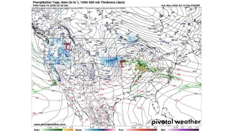
Western U.S. Snow Boost Adds Contrast
While the eastern half of the country warms, parts of the western United States are expected to see a beneficial snow event in the mountains. Though not enough to erase long-term deficits, even a modest boost to snowpack will help support water supply concerns heading toward the warmer season. This west-to-east contrast highlights a pronounced split in the national weather pattern.
Winter Not Over — But It Will Feel Different
Despite the thaw, winter is not officially finished. Cold snaps remain possible later in the season. However, the upcoming stretch of above-average temperatures will make conditions feel significantly more like early spring across Ohio.
Residents should anticipate melting snow, increased runoff, and possible wet spots in low-lying areas as temperatures climb. If you’re noticing rapid snowmelt or changing conditions in your neighborhood, share your local updates with us at CabarrusWeekly.com.