Prolonged Cold Locks the Mid-Atlantic and Carolinas as Temperature Trend Delays Any Real February Warm-Up
NORTH CAROLINA — A persistent cold pattern continues to dominate the eastern United States, keeping daytime temperatures well below seasonal norms across the Mid-Atlantic and extending its influence into the Carolinas, including North Carolina, as forecasters monitor a narrow midweek warming window and a potential weekend system.
Cold Streak Shows No Signs of Breaking Quickly
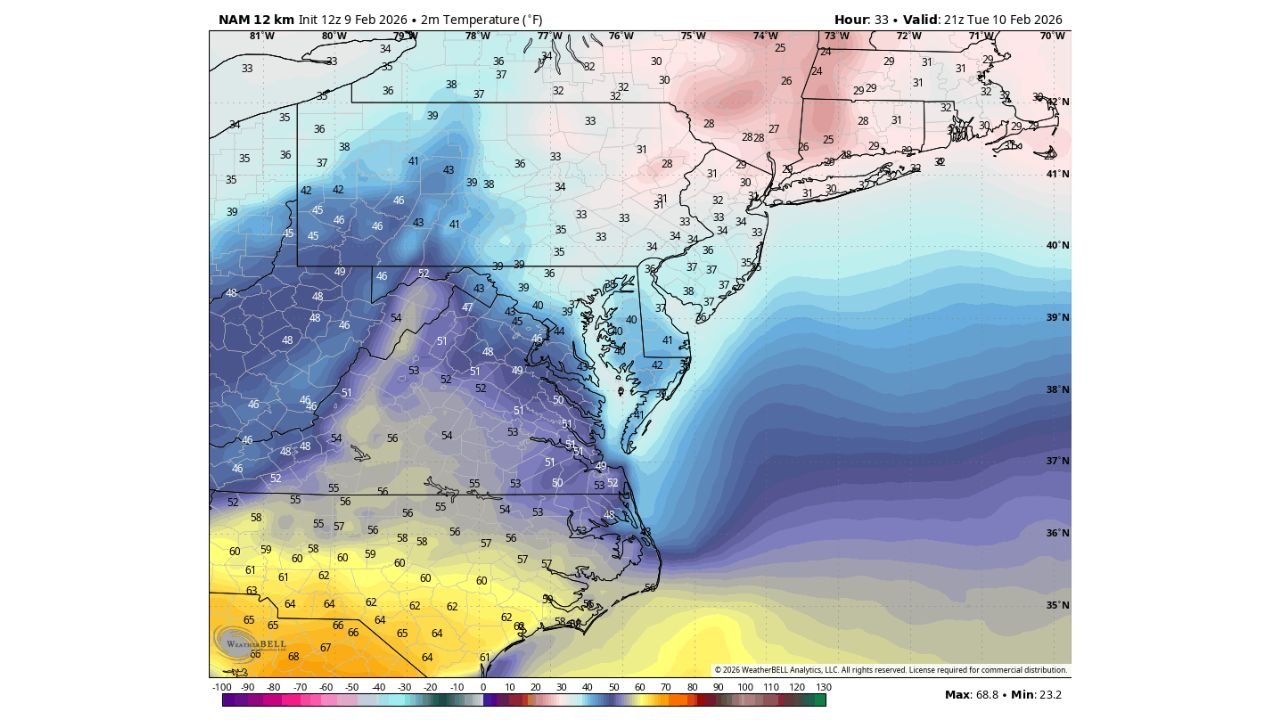
Recent temperature trends highlight just how entrenched the cold air mass has become. At Baltimore/Washington International Airport (Maryland), daytime highs have failed to rise above 40°F, while overnight lows have stayed below 25°F since January 23, marking a prolonged cold stretch lasting more than two weeks. This pattern underscores the strength of the cold air locked in place across much of the region.
While North Carolina has experienced slightly milder conditions compared to Maryland and Pennsylvania, the broader pattern remains connected. Cold air continues to funnel southward, limiting sustained warming even during brief moderation periods.
Midweek Window Offers Brief Temperature Relief
Forecast guidance suggests that if temperatures are going to exceed 40°F in parts of the Mid-Atlantic, the best opportunity appears to be Tuesday into Wednesday. Even then, warming looks modest and short-lived, as the overall trend still favors below-normal readings.
Across central and southern North Carolina, including Cabarrus County, temperatures are expected to remain cooler than typical for early February, with only limited daytime recovery before another push of colder air reinforces the pattern.
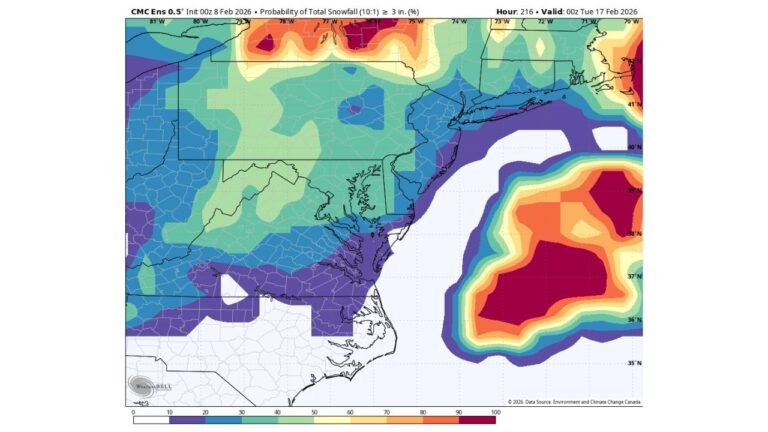
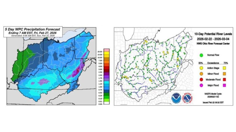
Weekend System Raises Precipitation Questions
Despite the ongoing cold, forecasters caution that any weekend storm system impacting the region is unlikely to be a classic snow event. Temperature profiles suggest that rain or a rain-sleet mix would be more probable, especially across North Carolina and southern Virginia.
This setup highlights the challenge of producing pure snowfall events when cold air is present but surface and mid-level temperatures hover near critical thresholds. Even as cold as conditions have been, subtle warming aloft could prevent snow from being the dominant precipitation type.
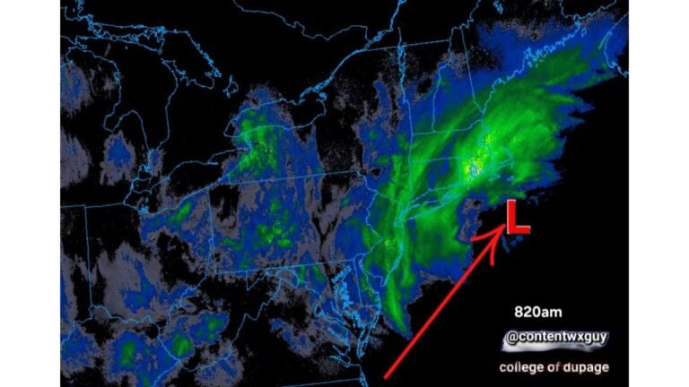
Coastal and Inland Temperature Gradient Remains Sharp
Model temperature data shows a pronounced gradient across the eastern U.S. Coastal waters remain relatively warmer, while inland areas from Pennsylvania through Virginia hold onto colder surface air. North Carolina sits near this transition zone, where small shifts in wind direction or storm track can significantly influence precipitation type and temperature outcomes.
This sharp contrast will continue to be monitored closely, especially as we move deeper into February and subtle pattern changes could rapidly alter local impacts.
What This Means for Cabarrus County
For residents of Cabarrus County and surrounding parts of North Carolina, the takeaway is continued cool conditions with limited warming opportunities and no clear signal for a significant snow event at this time. Any upcoming system should be watched for mixed precipitation, particularly during overnight or early morning hours when surface temperatures are lowest.
Weather data and temperature trends referenced in this analysis are based on model guidance and observational summaries provided in the uploaded forecast materials .
As always, CabarrusWeekly.com will continue tracking temperature trends and precipitation potential closely. If you’re seeing unusual conditions in your area or noticing impacts from the prolonged cold, share your observations with us and stay connected with CabarrusWeekly.com for ongoing local weather coverage.