Severe Storm Threat Expands Across Mid-South and Ohio Valley by Mid-March Despite Lingering Snow Cover in Parts of the Region
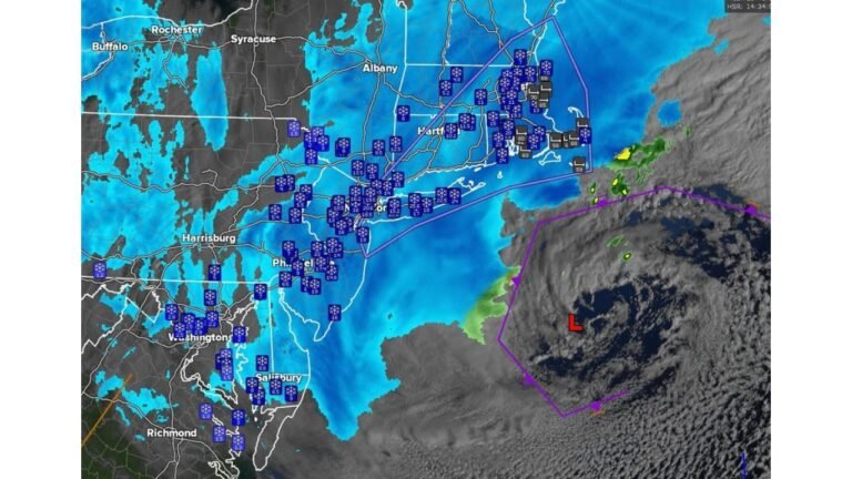
UNITED STATES — Even as some northern communities still report 2–3 inches of snow on the ground, long-range guidance is signaling a notable uptick in severe weather potential across the Mid-South and Ohio Valley heading into mid-March.
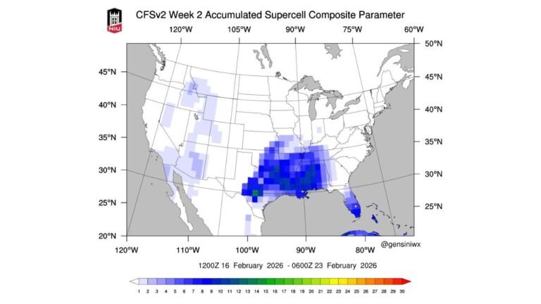
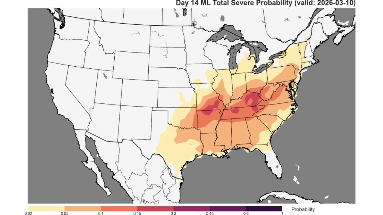
The latest extended outlook highlights a corridor of increasing severe storm probabilities stretching from eastern Texas and Arkansas through Tennessee and Kentucky and into parts of the Ohio Valley and central Appalachians.
Core Severe Risk Centered Over the Mid-South
The highest probabilities in the current outlook focus on areas including:
- Arkansas
- Northern Mississippi
- Western and Middle Tennessee
- Western Kentucky
- Southern Missouri
Cities near or within the more concentrated risk zone include:
- Memphis
- Little Rock
- Nashville
- Portions of Louisville’s southern vicinity
The probability shading intensifies across this corridor, suggesting a favorable setup for organized thunderstorms.
Risk Extends Northeast Into the Ohio Valley and Appalachians
Beyond the Mid-South, elevated severe probabilities expand northeastward into:
- Southern Illinois
- Indiana
- Ohio
- West Virginia
- Portions of Virginia
While probabilities decrease compared to the core Mid-South zone, the signal still supports the potential for strong storms spreading east and northeast as systems track through the region.
Why the Setup Is Notable
The developing pattern reflects a transition toward a more active spring-like regime:
- Increasing Gulf moisture transport northward
- Strengthening jet stream dynamics
- Storm systems ejecting from the southern Plains
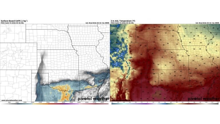
What makes the scenario stand out is the seasonal contrast. Parts of the northern tier and interior Northeast still have snow cover, yet atmospheric ingredients across the central and eastern U.S. are aligning for severe thunderstorm development.
Such transitional periods in March often produce sharp temperature gradients, which can enhance storm intensity along frontal boundaries.
Too Early for Specific Storm Details — But Signal Is Growing
This outlook remains in the longer-range window, meaning:
- Exact timing is still uncertain
- Specific severe modes (hail, wind, tornadoes) cannot yet be pinpointed
- Probabilities may shift north or south in future updates
However, the consistency of the signal across model guidance suggests the region should begin monitoring trends.
What Residents Should Watch
Residents across the Mid-South and Ohio Valley should monitor:
- Updated severe weather outlooks
- Temperature and moisture trends
- Frontal boundary placement
Even with lingering snow in some areas, the broader atmospheric pattern appears ready to pivot toward a more active and potentially stormy start to mid-March.
Stay with CabarrusWeekly.com for continued updates as the forecast evolves.