Severe Thunderstorms Likely Across Illinois, Wisconsin, Michigan, Indiana, Ohio, Pennsylvania, and New York This Afternoon and Evening With Damaging Winds, Large Hail, and Isolated Tornado Threat
UNITED STATES — Severe thunderstorms are moving into position across the Midwest and Lower Great Lakes this afternoon and evening, Tuesday, March 31, 2026. The Storm Prediction Center has placed a Slight Risk — Level 2 of 5 across a corridor stretching from Chicago and Milwaukee through Detroit, Cleveland, Pittsburgh, Buffalo, and Syracuse. Damaging winds and large hail are the primary concerns — but an isolated tornado threat exists with any discrete storm that can develop in the more moist and wind-sheared portions of the risk zone.
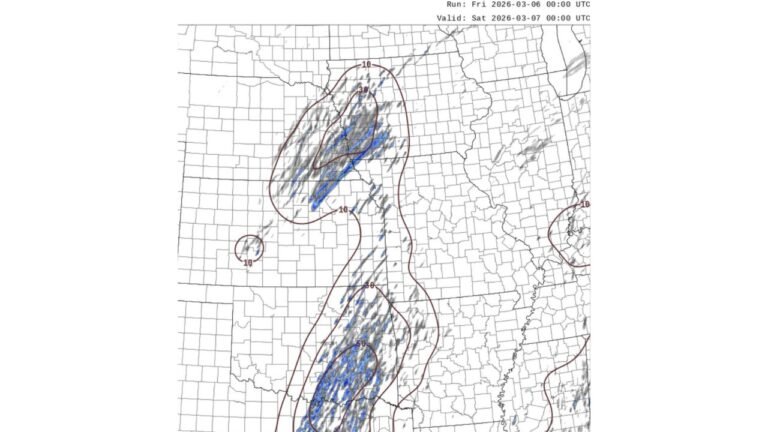
This forecast is based on the HRRR model run March 31, 2026 at 13z, valid this afternoon, March 31, 2026.
What Is Happening Right Now
The HRRR model simulated radar for this afternoon shows an active and developing storm line stretching from Wisconsin and Michigan southward through Indiana, Ohio, and into Pennsylvania and New York. Storm cells with reflectivity values reaching into the upper 50s and low 60s dBZ are already developing across the region — indicating storms capable of producing heavy rainfall, frequent lightning, and severe weather within the strongest cells.
This is not a future threat. Storms are developing now and will continue to push through the Great Lakes corridor through the afternoon and into the evening hours. Residents across the risk zone should already be in severe weather aware mode.
Who Is in the Severe Weather Risk Zone Today
The SPC Slight Risk zone covers a populated and heavily traveled corridor across the Midwest and Lower Great Lakes. Cities directly in or near the risk area include:
| City | State | Risk Level |
|---|---|---|
| Chicago / Joliet | Illinois | Slight Risk |
| Milwaukee | Wisconsin | Slight Risk |
| Grand Rapids | Michigan | Slight Risk |
| Lansing | Michigan | Slight Risk |
| Detroit | Michigan | Slight Risk |
| Fort Wayne | Indiana | Slight Risk |
| Dayton | Ohio | Slight Risk |
| Columbus | Ohio | Slight Risk |
| Cleveland | Ohio | Slight Risk |
| Pittsburgh | Pennsylvania | Slight Risk |
| Buffalo | New York | Slight Risk |
| Syracuse | New York | Slight Risk |
| Rochester | New York | Slight Risk |
| Indianapolis | Indiana | Marginal Risk |
| Cincinnati | Ohio | Marginal Risk |
| Springfield | Illinois | Marginal Risk |
Primary Threats This Afternoon and Evening
Damaging winds are the number one concern across the entire risk zone today. Severe thunderstorm wind gusts of 58 mph or greater are likely with the strongest storm cells moving through the corridor. At these speeds, winds are capable of snapping tree branches, downing power lines, flipping unsecured outdoor objects, and causing structural damage to older buildings and outbuildings. Power outages are likely across portions of the risk zone as storms move through.
Large hail is the second primary threat. The atmospheric profile across the Midwest and Great Lakes today supports hail of one inch in diameter or larger with the strongest storm cells — enough to dent vehicles, break windows, and damage roofs across affected communities.
Isolated tornado threat — this is the element that separates today’s setup from a routine severe thunderstorm event. Forecasters are specifically noting that a tornado may develop with any discrete storm that can organize in the more moist and wind-sheared portions of the risk zone. The tornado threat is not the headline concern today — but it is real enough that residents should have a shelter plan ready and not dismiss the possibility.
The key phrase is discrete storm. If any individual storm cell manages to separate itself from the broader storm line and tap into the moisture and wind shear available across the lower Great Lakes, it has the potential to develop rotation and produce a brief tornado. This is most likely across the southern and eastern portions of the risk zone — Indiana, Ohio, Pennsylvania, and western New York — where moisture values are highest.
Forecast Confidence Level
High confidence on severe thunderstorm development across the Midwest and Lower Great Lakes this afternoon and evening — storms are already initiating and the SPC Day 1 outlook confirms the threat.
High confidence on damaging winds and large hail as primary hazards** — wind shear and instability values support these threats across the entire Slight Risk zone.
Medium confidence on tornado potential** — an isolated tornado is possible but not certain. The exact storm mode — whether cells remain discrete or merge into a more linear squall line — will determine how significant the tornado threat becomes through the afternoon and evening.
Act Now — Storms Are Already Developing
Check your severe weather alerts immediately. Storms are already developing across the region. Do not wait for a warning to be issued before thinking about your shelter plan — by the time a tornado warning is issued, you may have only minutes to act.
Move indoors and away from windows if you are currently outside across any portion of the risk zone. The storm line is active and moving — conditions can deteriorate rapidly from clear to severe within a very short period.
Secure any outdoor objects now if you have not already. Wind gusts exceeding 60 mph with severe thunderstorms can send lawn furniture, trash cans, potted plants, and other outdoor items airborne in seconds.
Delay non-essential travel across the Chicago to Buffalo corridor through the evening hours. Driving through a severe thunderstorm producing large hail and damaging winds is dangerous — reduced visibility, hail impact, and downed trees or power lines on roadways are all real hazards during active severe weather.
Chicago and Milwaukee residents — storms are approaching from the west and northwest. The window for storm impacts across the Chicago metro is this afternoon. Stay weather aware and keep alerts active through the evening.
Detroit, Cleveland, and Pittsburgh residents — your window follows Chicago and Milwaukee as storms push eastward through the afternoon and evening. Monitor conditions closely through dinner and evening hours.
Buffalo and Syracuse residents — storms arrive latest in your area, potentially pushing through during the evening and overnight hours. Do not let your guard down after dark.
The Bottom Line
Severe thunderstorms are likely across the Midwest and Lower Great Lakes today — affecting Illinois, Wisconsin, Michigan, Indiana, Ohio, Pennsylvania, and New York through Tuesday afternoon and evening. The Storm Prediction Center has issued a Slight Risk for a corridor from Chicago through Detroit, Cleveland, Pittsburgh, and Buffalo. Damaging winds and large hail are the primary threats, with an isolated tornado possible with any discrete organized storm in the moist and sheared portions of the risk zone. Storms are already developing — act now, not later.
Stay ahead of dangerous weather as it happens. Visit cabarrusweekly.com for real-time severe weather coverage, storm alerts, and forecast updates from across the United States — because knowing early is the difference that matters.