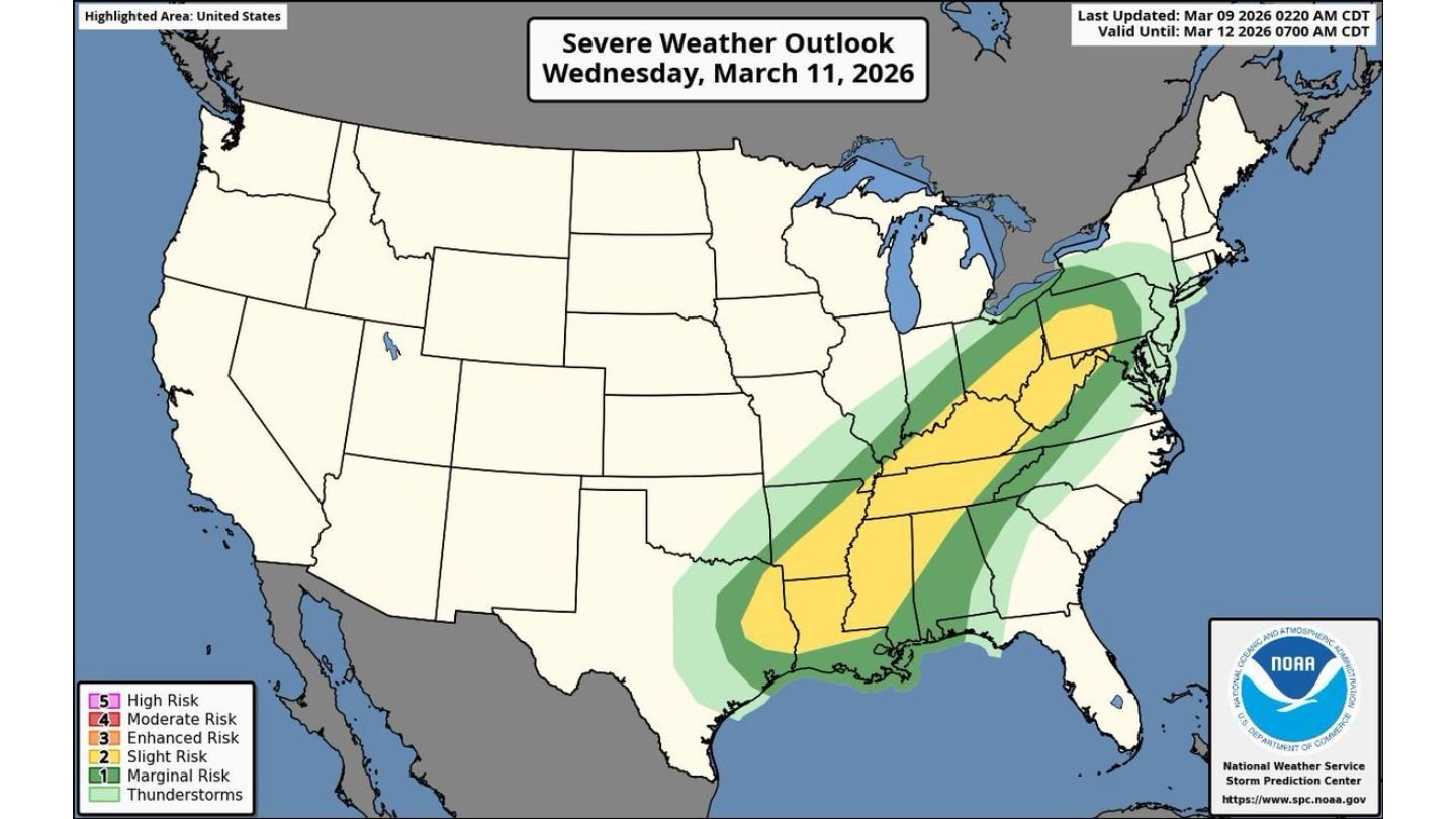
Severe Weather Shifts East Wednesday from Texas Through Mississippi, Tennessee and Into New York as Damaging Winds and Tornadoes Remain Possible
UNITED STATES — Severe weather will continue Wednesday, March 11, expanding from the southern Plains through the Deep South, Tennessee Valley and into parts of the Mid-Atlantic and Northeast.
Forecasters indicate damaging winds, large hail and a few tornadoes are possible as widespread thunderstorms develop along a sweeping storm system. More than 120 million people are within the broader severe risk zone across Tuesday and Wednesday combined, underscoring the scale of this multi-day event.
Broad Risk Area from Gulf Coast to Northeast
Wednesday’s severe outlook highlights a long corridor stretching from:
- Southeast Texas
- Louisiana
- Mississippi
- Alabama
- Tennessee
- Kentucky
- West Virginia
- Virginia
- Pennsylvania
- New York
The risk area arcs northeastward, following a strong cold front expected to push east through the day.
Southern Focus: Texas and the Gulf States
Across southeast Texas and Louisiana, storms may be ongoing early in the day before spreading east. Cities in the southern risk zone include:
- Houston, TX
- Beaumont, TX
- Lake Charles, LA
- Baton Rouge, LA
- New Orleans, LA
As the line advances, Mississippi and Alabama will come into play, including:
- Jackson, MS
- Birmingham, AL
- Montgomery, AL
In these areas, damaging straight-line winds appear to be the primary threat, though isolated tornadoes and large hail cannot be ruled out.
Tennessee Valley Into the Mid-Atlantic
By afternoon and evening, storms are expected to intensify and expand into:
- Memphis, TN
- Nashville, TN
- Louisville, KY
- Charleston, WV
- Roanoke, VA
The severe risk extends into parts of:
- Pennsylvania
- New York
This indicates a widespread storm shield capable of producing strong wind gusts and embedded severe cells as the system tracks northeast.
Main Threats on Wednesday
The primary hazards include:
- Damaging winds
- Large hail
- A few tornadoes
Given the expansive nature of the risk area, storms are expected to become widespread rather than isolated, increasing the number of communities impacted.
Wind damage may become more prominent as storms organize into a larger line structure moving eastward.
Multi-Day Severe Pattern
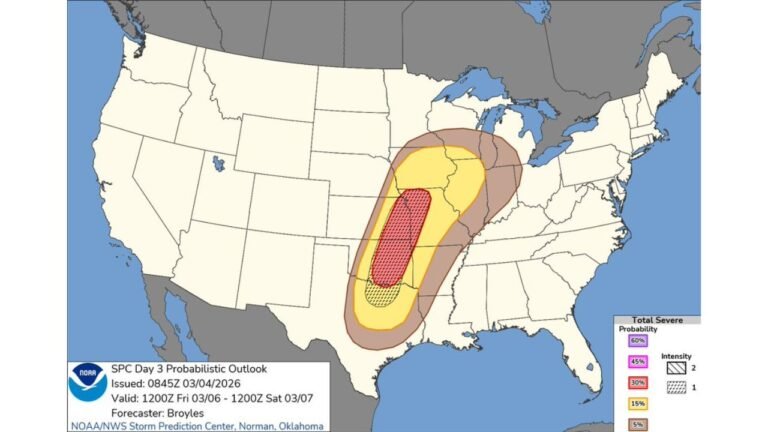
This Wednesday threat follows Tuesday’s severe outbreak across parts of the Midwest and South. The storm system responsible for Tuesday’s tornado and hail risk will continue lifting northeast, spreading severe weather into new regions.
With such a broad area involved across two consecutive days, cumulative impacts could be significant.
Preparation Urged
Residents from Texas to New York should:
- Monitor local forecasts
- Enable emergency alerts
- Review severe weather safety plans
Storm timing will vary by location, but conditions favor active weather across much of the eastern half of the country.
Bottom Line
Severe weather will persist Wednesday from Texas through the Deep South, Tennessee Valley and into parts of the Mid-Atlantic and Northeast, including Pennsylvania and New York. Damaging winds, large hail and a few tornadoes remain possible as widespread thunderstorms sweep east.
CabarrusWeekly.com will continue tracking developments as this large-scale severe weather event unfolds.