Southeast Braces for 20–30 Degree Temperature Plunge as Frigid Air Replaces Recent 80s Across the Carolinas
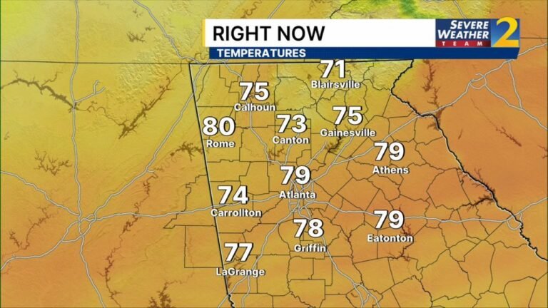
NORTH CAROLINA — Just days after record-challenging warmth pushed temperatures into the 80s across parts of the Southeast, a dramatic reversal is now unfolding, with a surge of frigid air set to send readings 20 to 30 degrees below normal early this week. Forecasters are calling it true “temperature whiplash.”
From Record Warmth to Winter Chill
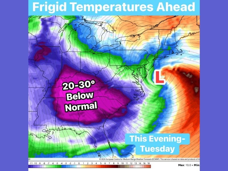
The latest forecast guidance shows a broad swath of significantly below-normal temperatures stretching across:
- North Carolina
- South Carolina
- Georgia
- Alabama
- Mississippi
The coldest anomalies — shown in deep purple shading on forecast maps — indicate temperatures running 20 to 30 degrees below average from this evening into Tuesday.
That means overnight lows falling into the teens and 20s, with afternoon highs struggling to climb beyond the 30s and 40s across much of the region.
For residents who were enjoying near-80° afternoons just days ago, the change will feel abrupt and intense.
What This Means for North Carolina
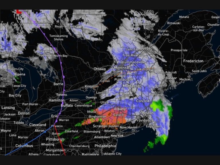
Across central and eastern North Carolina, including communities near Raleigh and stretching toward the coastal plain, temperatures are expected to sharply cool behind a departing low-pressure system offshore.
While the coldest core of the anomaly centers farther south and west, North Carolina will still experience:
- Much colder mornings
- Wind chills that feel even sharper
- Highs well below recent readings
The dramatic cooldown marks one of the most significant short-term swings of the season.
Why the Sudden Drop?
The shift is tied to a strong push of cold air diving southward behind a coastal low. As that system pulls away into the Atlantic, colder air from the north is allowed to spill deep into the Southeast.
This setup creates a sharp contrast between the mild air that dominated late last week and the incoming Arctic-influenced air mass.
Such swings are not uncommon during late winter transitions, but the magnitude — dropping from the 80s into teens and 30s within days — is particularly striking.
A Reminder Winter Isn’t Done
Even as the calendar inches closer to spring, this pattern reinforces that winter still has some strength left.
Residents should prepare for:
- Freezing overnight conditions
- Icy wind chills during early mornings
- Increased heating demand
Layered clothing and protecting sensitive plants may once again become necessary after a brief taste of early spring warmth.
The coming days will answer the question many are asking: hoodie weather or near-80° afternoons?
For continued updates on this sharp cold snap and its impact across North Carolina and the Southeast, stay with CabarrusWeekly.com for the latest forecast coverage and weather analysis.