Strong Shortwave and Modified Arctic Air Could Bring Rare Accumulating Snow to Metro Vancouver Wednesday Night Into Thursday
BRITISH COLUMBIA — A developing upper-level shortwave combined with modified Arctic air could set the stage for a potential accumulating snow event across metro Vancouver and lower elevations late Wednesday night into Thursday.
Forecast guidance indicates this may be one of the few realistic opportunities this season for measurable snow in lower-elevation areas of the South Coast.
Strong Shortwave Diving Into Southern British Columbia
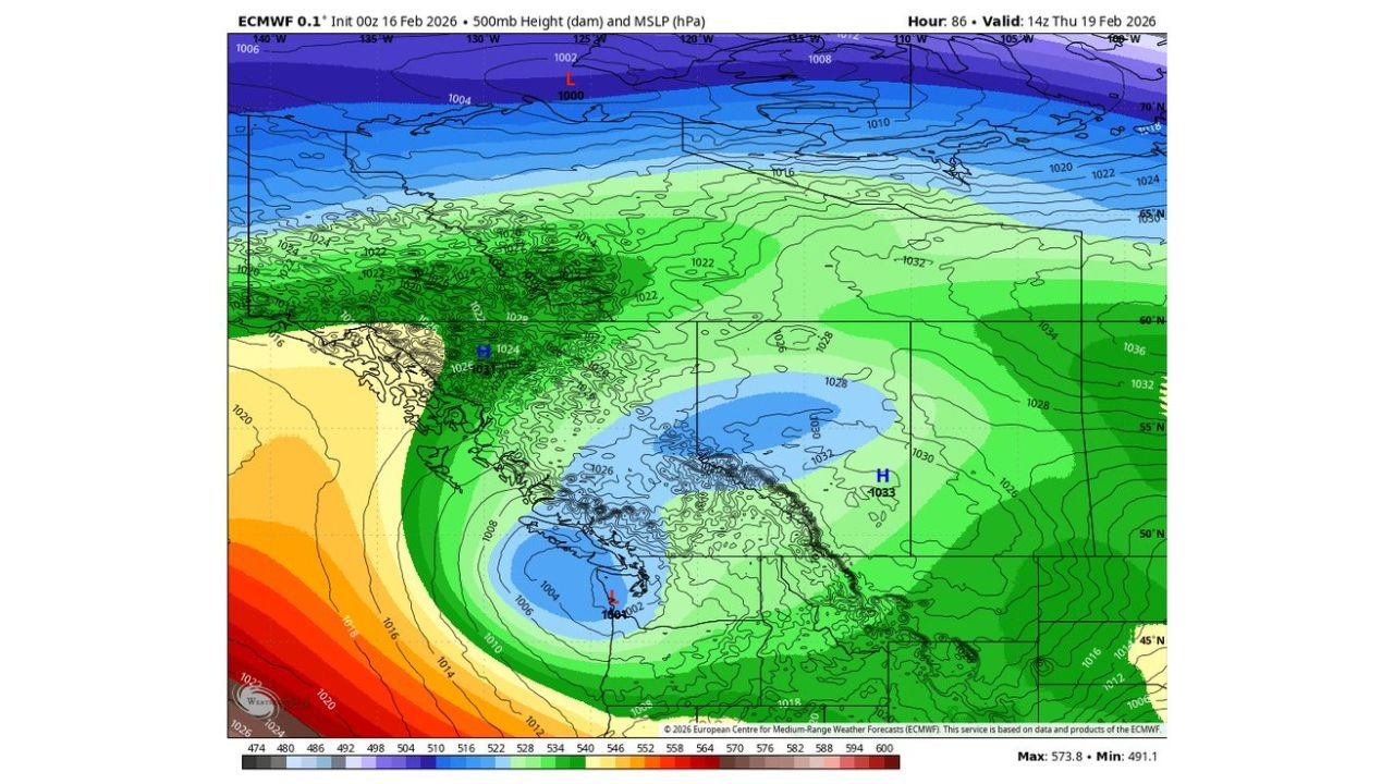
Upper-air pattern analysis shows a compact but energetic shortwave rotating into southern British Columbia Wednesday night. At 500mb, a pronounced trough swings toward Vancouver Island and the Lower Mainland, helping to generate lift across the region.
Surface pressure fields show a developing low south of Vancouver Island, enhancing onshore flow while colder air remains entrenched inland. The alignment of upper support and surface development is critical for precipitation intensity.
If lift is sufficient, snowfall rates could briefly overcome marginal surface temperatures.
Modified Arctic Air in Place
Temperature projections show colder air filtering south across interior British Columbia and spilling toward the Lower Mainland. While this is not a deep Arctic outbreak, it represents modified Arctic air cold enough to support snow, particularly during overnight hours.
Forecast surface temperatures across metro Vancouver early Thursday appear near or just below freezing in many locations, especially away from immediate shoreline influences.
This setup increases the probability that precipitation falls primarily as snow at lower elevations rather than rain.
Potential Accumulation Across Lower Elevations
Precipitation type guidance indicates a swath of snowfall extending from Vancouver Island into metro Vancouver and east toward the Fraser Valley.
The most favorable window for accumulation appears to be late Wednesday night into early Thursday morning, when temperatures are coolest and dynamic cooling from the shortwave is strongest.
Given typical Lower Mainland winter patterns, accumulations would likely be most noticeable on grassy and elevated surfaces first, with road impacts depending on snowfall intensity and surface temperatures.
A Fickle Setup That Requires Monitoring
Snow events in coastal British Columbia are notoriously sensitive to small temperature variations and subtle storm track shifts. A slight warming trend or weaker precipitation rates could limit accumulation, while stronger lift and steadier snowfall could allow snow to stick more efficiently.
Current guidance suggests this is worth watching closely, particularly for communities across metro Vancouver, Burnaby, Richmond, Surrey and the Fraser Valley.
If this system verifies, it could represent the only accumulating snow event of the year for many lower-elevation neighborhoods.
Residents should monitor updates as model data continues to refine snowfall amounts and timing.
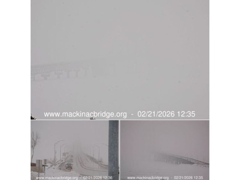
If snow begins falling in your area Wednesday night, share your observations and photos with CabarrusWeekly.com as this potential winter setup unfolds.