Sunday Timeline Alert: Final Severe Storm Push From North Carolina Through Mid-Atlantic Brings Damaging Wind Risk Before Pattern Calms
UNITED STATES — A final round of active weather is unfolding today as a line of storms pushes north along the East Coast, marking what could be the last notable severe weather setup for several days across the region.
Storm Line Moving North Along the East Coast
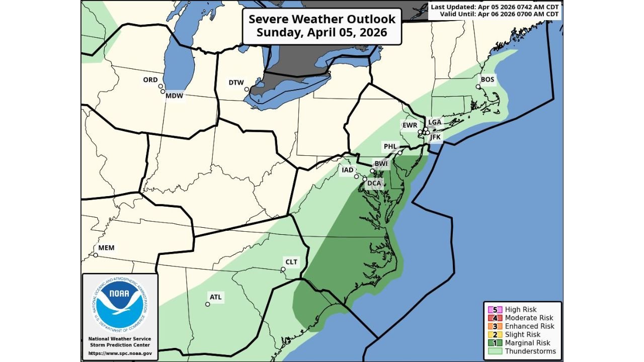
Through Sunday, April 5, a developing line of storms is expected to track from the Carolinas into the Mid-Atlantic and Northeast, impacting multiple states along the way.
Key areas in the path include:
- North Carolina and South Carolina
- Virginia and Maryland
- Washington D.C. region
- Delaware, New Jersey, and eastern Pennsylvania
- Extending into parts of New York and southern New England
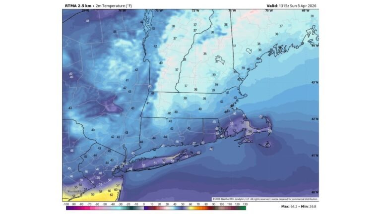
This system is moving steadily northward, bringing periods of rain along with embedded stronger storms.
Main Threat: Damaging Wind Pockets
While this is not expected to be a widespread high-end severe outbreak, the primary concern will be:
- Localized damaging wind gusts, especially within stronger storm segments
- Brief heavy downpours reducing visibility and creating slick travel conditions
- Isolated stronger cells that could briefly intensify as they move northeast
The risk level across much of the region falls into a lower-end severe category, but still enough to warrant attention, especially during peak afternoon and early evening hours.
Timing and Progression Through the Day
The timeline of impacts is expected to follow a clear northward progression:
- Morning to midday: Storms moving through the Carolinas into southern Virginia
- Afternoon: Activity intensifies across Virginia, Maryland, and D.C. metro areas
- Evening: Storms reach New Jersey, eastern Pennsylvania, and southern New York
- Late evening into night: System pushes into New England and offshore
Residents along this corridor should stay alert as conditions can change quickly within passing storm bands.
Why This Is the “Last Active Day” for Now
This setup represents the tail end of a recent stretch of unsettled and occasionally severe weather across the eastern U.S.
Behind this system:
- A more stable pattern begins to build in
- Severe weather chances drop off significantly for several days
- Conditions trend toward quieter and more controlled spring weather
This makes today an important transition point between active and calmer conditions.
Stay Weather Aware Today
Even though the overall threat is limited, localized impacts can still occur, especially with wind-driven storms. Residents are encouraged to:
- Monitor local alerts and radar updates
- Secure loose outdoor items
- Be cautious during periods of heavy rain and gusty winds
Stay Connected With Cabarrus Weekly
For real-time storm updates, regional forecasts, and detailed breakdowns of shifting weather patterns across the United States, stay with Cabarrus Weekly—your reliable source for accurate and timely weather coverage.