Texas, Oklahoma and Kansas Face Midweek Severe Storm Risk as Widespread 70s and 80s Spread Across the Southern United States
UNITED STATES — Meteorological spring is arriving with authority as a strengthening upper-level ridge sets the stage for a widespread warm-up across the southern tier of the country, while at the same time the Storm Prediction Center flags two separate 15% severe weather risks across the Southern Plains this week.
Ridge Building Sets Up Widespread 70s and 80s
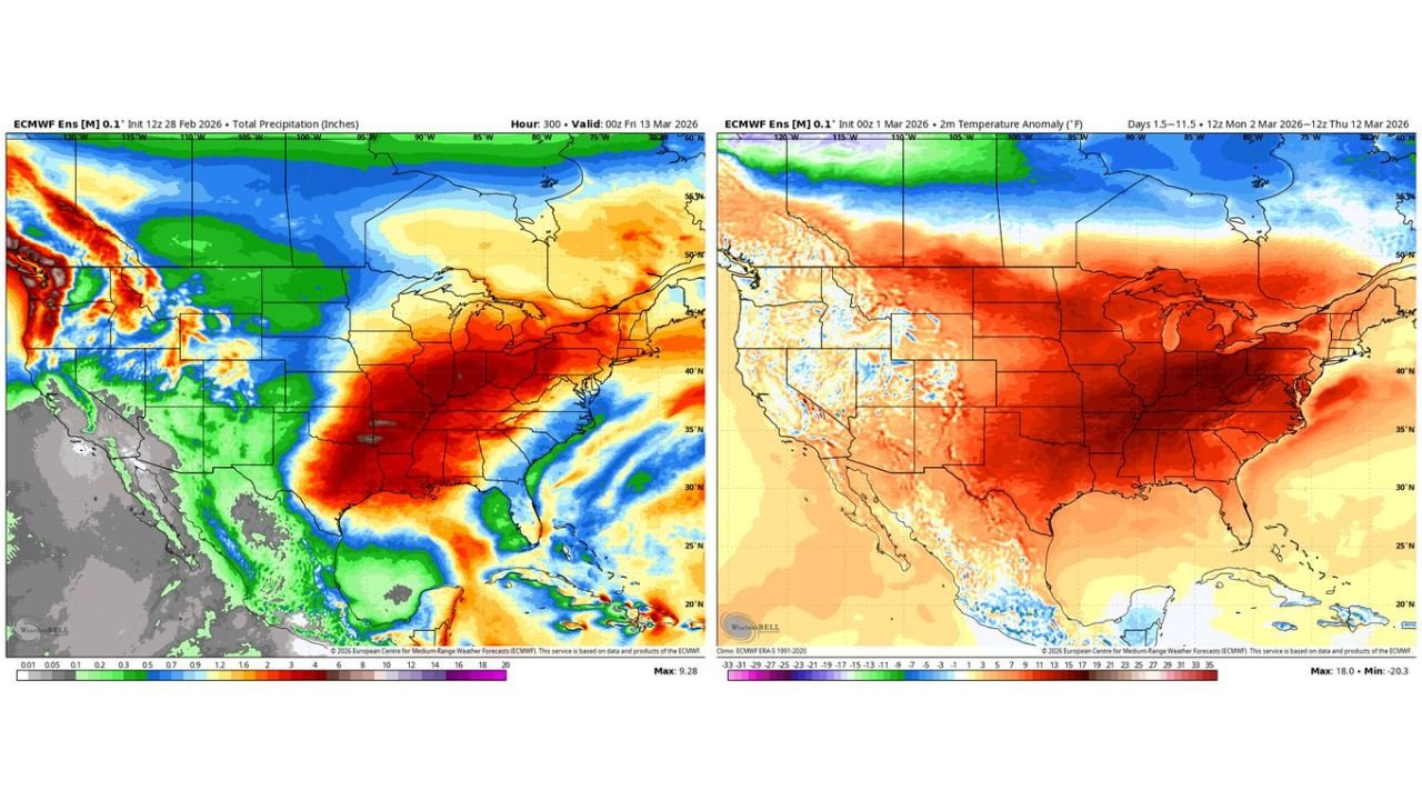
Temperature anomaly guidance shows much of the central and eastern United States trending well above normal as we move through the week. The most pronounced warmth stretches from Texas through the Deep South, Tennessee Valley, Midwest, and into parts of the Northeast.
As the ridge becomes well-positioned late week, afternoon highs are expected to climb into the:
70s across much of the Southern Plains and Southeast
Low to mid 80s in parts of Texas and the Deep South
This surge of warmth marks a significant pattern shift compared to recent cooler periods and reinforces the transition into early spring.
A Couple Cooler Days Before the Big Warm-Up
Some eastern areas may experience brief cooler conditions early in the week as energy moves through the flow. However, ensemble data shows the ridge strengthening and expanding eastward by late week, allowing temperatures to respond quickly.
The warmest air appears to consolidate across the southern half of the country, with above-normal readings extending north into the Midwest and Ohio Valley as well.
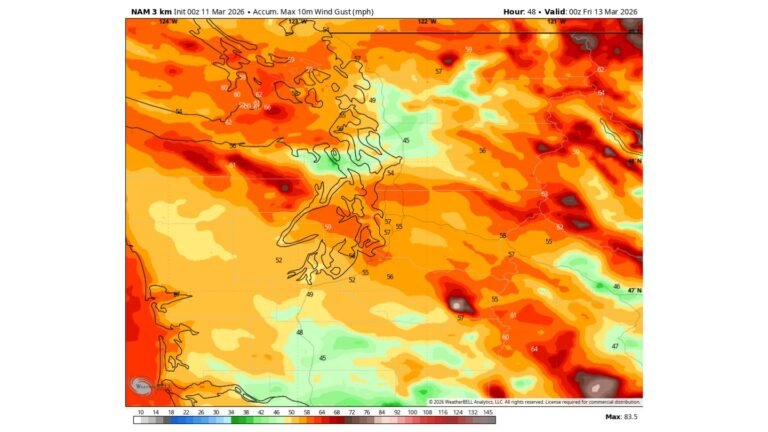
Storm Energy Moving Across the Country
While the ridge drives warmth across the South and East, active weather remains in play across the central U.S.
Precipitation guidance highlights a corridor of increased rainfall potential stretching from the Southern Plains northeastward into the Mid-Mississippi Valley and Great Lakes, signaling an active storm track interacting with strengthening instability.
This setup introduces the potential for organized thunderstorms as systems move along the ridge’s western edge.
SPC Highlights Wednesday and Friday for Severe Risk
The Storm Prediction Center has already outlined 15% severe weather probability areas in its extended outlook.
For Wednesday (Day 4), the risk zone is centered over portions of:
- Texas
- Oklahoma
- Southern Kansas
Primary concerns include damaging wind gusts and severe hail, especially during the afternoon and evening hours.
By Friday (Day 6), the highlighted risk area expands and shifts northeastward from the Southern Plains into parts of the Mid-Mississippi Valley, suggesting a more organized system capable of broader severe coverage.
While damaging winds and large hail appear to be the primary threats at this range, evolving moisture return and wind shear parameters could influence whether a tornado threat materializes.
Spring Pattern Means Warmth and Storms Can Coexist
This type of setup is typical for early spring: strong ridging across the southern tier driving warmth, while energetic disturbances along the western and northern flank of the ridge spark severe weather episodes.
Residents across the Southern Plains should remain weather-aware midweek and again late week, even as much of the South enjoys springlike afternoons in the 70s and 80s.
We will continue refining timing and impact zones as higher-resolution data comes into range.
If you are experiencing the early-spring warm-up or preparing for potential severe weather in Texas, Oklahoma, Kansas, or surrounding states, share your local conditions with us at CabarrusWeekly.com as we track both the warmth and storm potential this week.