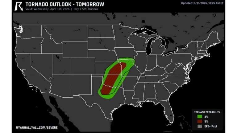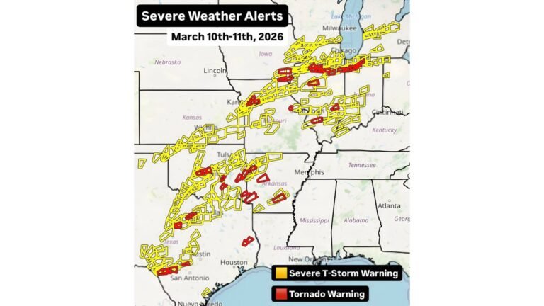
Texas, Oklahoma, Kansas, Missouri, and Arkansas Show Elevated Severe Storm Potential in NIU Week 2–3 Outlook for February 15–28
UNITED STATES — New medium-range guidance is drawing attention to a potentially active stretch of severe weather across large portions of the central and southern Plains during the February 15–28 timeframe, with signals pointing to multiple storm systems rather than a single event.
Severe Composite Signal Expands Across the Plains
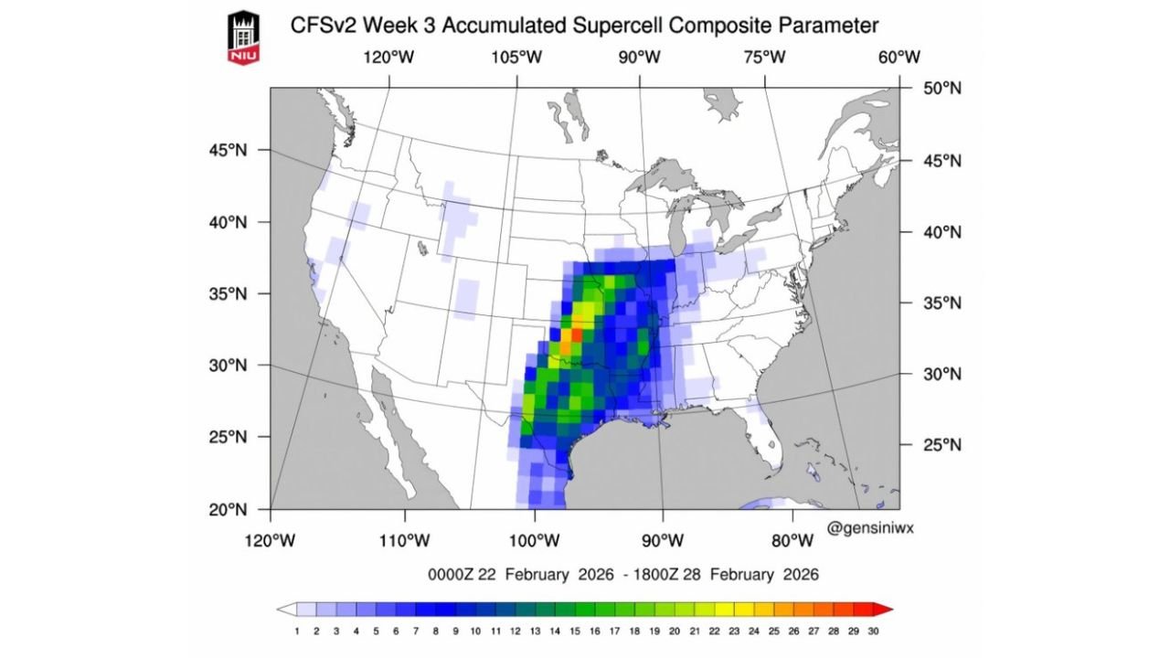
Updated CFSv2 accumulated Supercell Composite Parameter guidance shows a broad corridor of elevated severe potential stretching from Texas and Oklahoma northward into Kansas, Missouri, and parts of the mid-Mississippi Valley. The signal appears in both Week 2 (Feb 15–21) and Week 3 (Feb 22–28) outlooks, suggesting a persistent large-scale pattern favorable for organized severe storms.
The most consistent probabilities focus on the southern and central Plains, with repeated model runs highlighting this region as a preferred zone for supercell-capable environments.
Week 2: February 15–21 Shows First Active Window
During Week 2, guidance highlights a developing plume of higher supercell composite values from central Texas into Oklahoma and southern Kansas, extending eastward toward Arkansas and Missouri. This pattern typically aligns with returning Gulf moisture, increasing instability, and periodic upper-level disturbances crossing the Plains.
While this does not guarantee severe weather on any specific day, the spatial consistency suggests at least one or more organized storm opportunities may emerge during this period.
Week 3: February 22–28 Maintains and Intensifies Signal
The Week 3 outlook continues — and in some areas slightly intensifies — the severe signal across similar regions. Notably, the guidance introduces locally higher values within the same Plains corridor, reinforcing confidence that the overall pattern remains favorable rather than transient.
When severe signals persist across multiple weeks in long-range guidance, it often indicates a stable synoptic setup, such as a repeating trough-ridge configuration supporting repeated storm systems.
What This Signal Does — and Does Not — Mean
It is important to note that supercell composite parameters measure environmental potential, not guaranteed storm occurrence. These maps do not specify exact dates, cities, or hazards, but instead highlight where atmospheric ingredients may repeatedly align.
At this range, details such as tornado, hail, or wind threats cannot be resolved. However, the presence of multiple overlapping signals raises confidence that the central U.S. should remain weather-aware as mid-February approaches.
Areas to Monitor Closely
Based on current guidance, regions that may need closer monitoring include Texas, Oklahoma, Kansas, Missouri, Arkansas, and nearby portions of the lower Mississippi Valley. As the timeframe draws closer, higher-resolution models and official outlooks will better define timing and severity.
This evolving pattern aligns with early-season climatology, where increasing temperature contrasts and returning moisture can support early spring-like severe setups.
Readers are encouraged to stay alert for updated forecasts and share what you’re seeing in your area as February progresses. Join the conversation and follow ongoing coverage at CabarrusWeekly.com.