Texas, Oklahoma, Kansas, Missouri and Iowa Eye Potent April 13 Severe Storm Setup as Instability Surges North
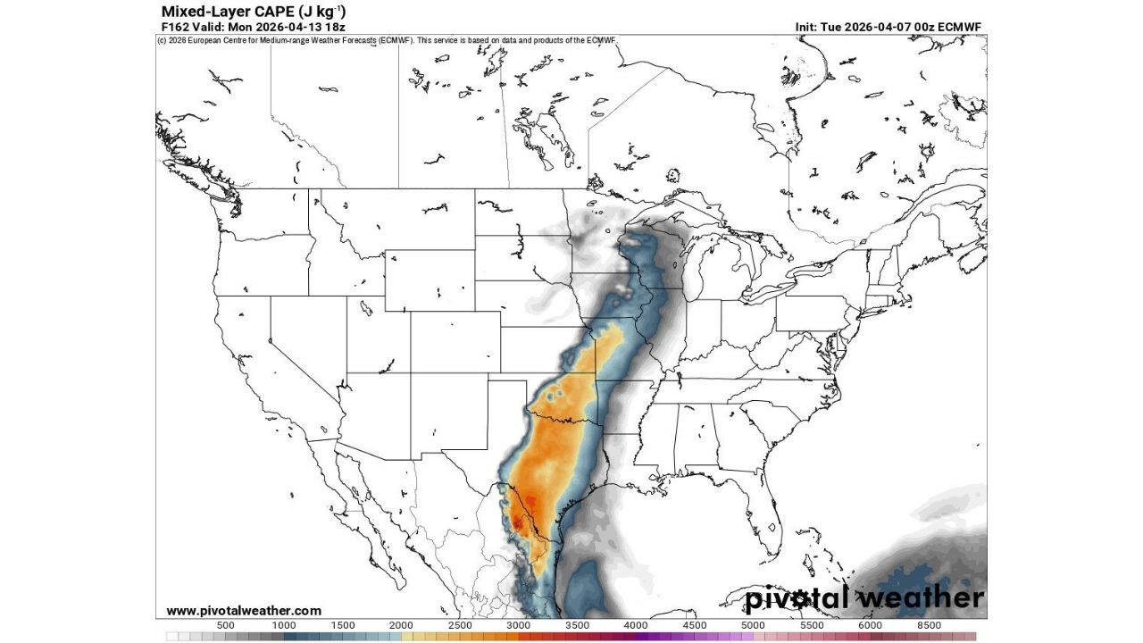
TEXAS — A potentially significant severe weather setup is beginning to take shape for Monday, April 13, with a broad corridor of instability stretching from the southern Plains into the Midwest.
Early indications suggest this could become a high-impact severe weather day, although some uncertainty remains at this range.
Strong Instability Corridor Extends From Texas to Iowa
Forecast data highlights a pronounced zone of atmospheric energy (instability) developing across:
- Central and North Texas
- Oklahoma
- Kansas
- Missouri
- Into parts of Iowa
This corridor shows elevated instability values, which are a key ingredient for severe thunderstorms. The alignment of this energy suggests storms will have ample fuel to intensify quickly once they form.
Moisture and Wind Shear Add to Severe Potential
In addition to instability, two other critical ingredients are expected to be in place:
- Rich Gulf moisture surging northward, increasing humidity and storm energy
- Strong wind shear, allowing storms to organize and potentially rotate
This combination raises concerns for organized severe storms, including the possibility of supercells.
Storm Development Likely Along a North–South Corridor
The setup favors storm development along a long north–south axis:
- From Texas through Oklahoma and Kansas
- Extending into Missouri and Iowa
This type of alignment often leads to multiple rounds of storms or clusters that track northeast, potentially impacting several states over time.
Primary Threats Could Be Significant
If current trends hold, the following threats may develop:
- Damaging winds across a broad region
- Large hail, especially with stronger, discrete storms
- Tornado potential, particularly where storms can remain isolated and rotate
While it is still early, the environment being forecast is supportive of more than just isolated severe storms.
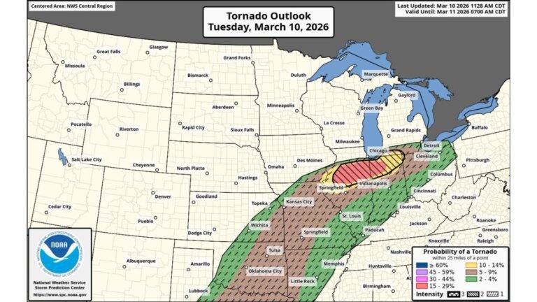
Slight Risk Already Issued — Could Increase
The Storm Prediction Center has already introduced a Slight Risk (Level 2 of 5) for parts of the Plains and Midwest.
As confidence increases:
- The risk area could expand geographically
- The intensity level could be upgraded in later outlooks
- Specific high-risk corridors will become clearer closer to Monday
Forecast Uncertainty Still Present
Despite the strong signals:
- Exact storm timing and placement are not yet locked in
- Small shifts in the system could change which areas see the worst impacts
- Details will continue to evolve over the coming days
Preparation Time Now for Plains and Midwest
With a potentially active setup developing:
- Residents across Texas to Iowa should begin reviewing severe weather plans
- Stay aware of updates as confidence increases
- Monitor local alerts and forecast changes heading into early next week
Cabarrus Weekly Will Continue Tracking This Developing Threat
Cabarrus Weekly will provide continued updates on this evolving severe weather setup, including risk upgrades, timing details, and impacted regions.
As the pattern becomes clearer, Monday could emerge as a notable severe weather day across the central United States.