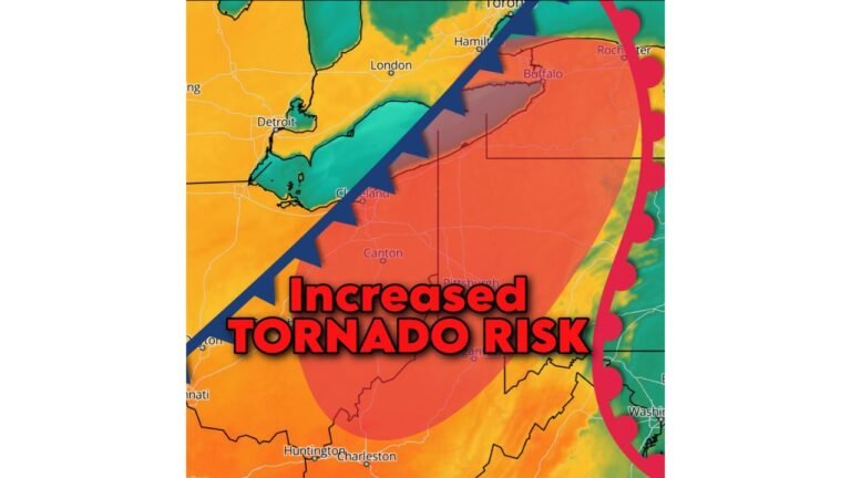
Tornado Risk Increases Across Northern Florida and Southern Georgia as Squall Line Threatens Panama City, Tallahassee, Valdosta and Jacksonville Sunday
FLORIDA AND GEORGIA — Severe weather concerns are increasing for Sunday, February 15, as a strengthening storm system pushes a squall line across northern Florida and southern Georgia, bringing a Level 2 out of 5 Slight Risk for severe storms.
Meteorologists warn that a couple of tornadoes cannot be ruled out, along with sporadic damaging straight-line wind gusts reaching 60 mph as storms sweep eastward.
Level 2 Slight Risk Now In Effect
The updated outlook places much of northern Florida and southern Georgia under a Slight Risk category. This level indicates scattered severe storms are possible, with at least a few capable of producing tornadoes or damaging winds.
The zone to monitor closely includes Panama City, Tallahassee, Perry, Live Oak, Jacksonville, Gainesville, Valdosta, Dothan, Moultrie, Albany, and Waycross.
Residents in these areas should remain weather-aware throughout the day Sunday as conditions evolve.
Squall Line May Fragment Into Tornado-Producing Cells
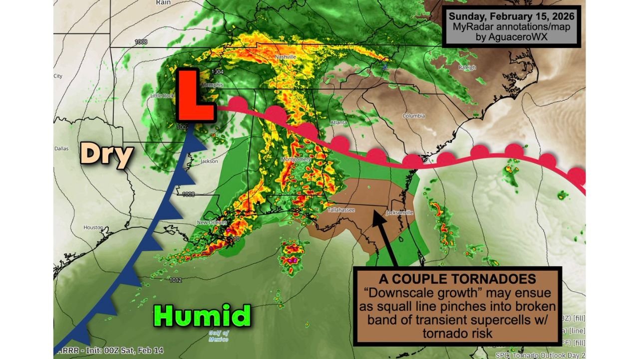
The primary threat will arrive in the form of a well-organized squall line associated with a developing low-pressure system tracking through the Deep South.
Forecasters indicate the line could undergo what’s known as “downscale growth,” meaning it may break apart into more discrete, short-lived supercell structures. When this happens, individual storm cells can tap into changing wind speeds and directions with height, increasing the risk of isolated tornado development.
Even brief spin-ups within a squall line can produce localized damage with little warning.
Damaging Wind Gusts Up To 60 MPH Possible
In addition to the tornado threat, storms may produce straight-line wind gusts near 60 mph, particularly within the strongest segments of the squall line.
These winds can down trees, damage roofs, and cause scattered power outages — especially where saturated soils allow trees to uproot more easily.
Heavy rainfall and frequent lightning will also accompany the strongest storms.
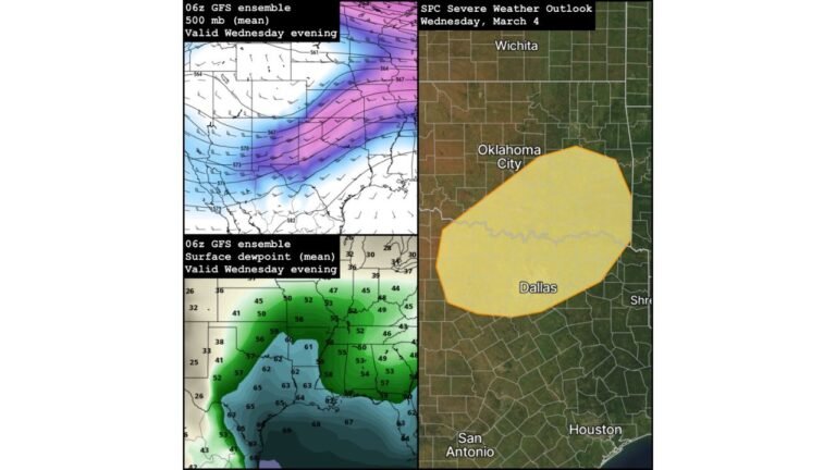
Humid Air Fueling Instability
Ahead of the advancing cold front, humid Gulf air is streaming northward into Florida and Georgia. This warm, moisture-rich environment will provide the fuel necessary for storms to intensify.
Behind the front, drier air will eventually push in, bringing improving conditions after the line moves through. However, the timing of peak instability will determine how intense storms become during the afternoon and evening hours.
Stay Alert Sunday
While widespread, long-track tornadoes are not currently expected, an isolated strong tornado cannot be ruled out, particularly if storms break into rotating supercells.
Residents across northern Florida and southern Georgia should ensure they have multiple ways to receive warnings and review safety plans before storms arrive.
If severe weather impacts your area Sunday, share your updates and photos with us at CabarrusWeekly.com as we continue monitoring this developing situation.