Two Tornadoes Observed Near Bloomington and Illinois Border Leave Close Call, Stunning Sunrise Follows the Chaos
Bloomington – After a tense night across parts of Indiana and neighboring Illinois, storm chasers are recounting just how close things came as two tornadoes spun through the region — narrowly sparing parts of Bloomington in what’s being described as a “skipper” event.
Tornadoes Observed Up Close Near Bloomington
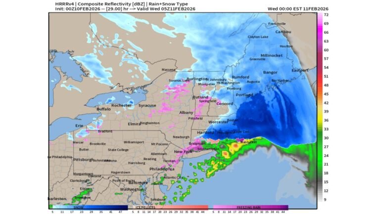
Storm observers reported witnessing two tornadoes during Thursday night’s severe weather outbreak in areas near the Illinois border. According to firsthand accounts, one cone-shaped tornado passed roughly 100 yards from their position during a livestream intercept.
Bloomington itself was largely spared from a direct hit. The event is being compared to the May 16, 2025 storm system, which also featured a similar “skipping” damage pattern — where intense rotation touches down in pockets rather than carving a continuous swath.
While the intercept was visually stunning, those involved described the experience as humbling. The most nerve-wracking moment wasn’t the intercept itself, but the drive back to Bloomington amid uncertainty over whether homes had been struck. Fortunately, reports indicate that at least one residence feared to be in harm’s way was ultimately spared.
Reviewing Damage and Gathering Reports
In the aftermath, storm teams are now reviewing footage and surveying damage in impacted areas around Bloomington, Sullivan, Linton, and surrounding communities. Residents in those areas who experienced damage or witnessed tornado activity are being encouraged to share reports and photos to help piece together the full scope of the event.
The two tornadoes observed up close occurred in neighboring Illinois before crossing near Indiana communities, underscoring how quickly severe weather can escalate across state lines. Meteorologists are expected to release comparison graphics once detailed analysis of radar and ground footage is complete.
A Calm Morning and a Powerful Reminder
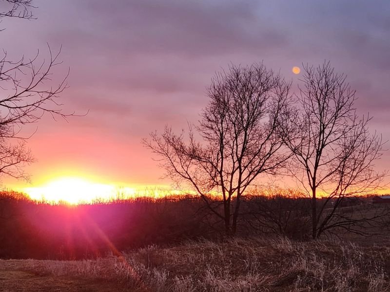
By Friday morning, the atmosphere had dramatically shifted. A vivid sunrise near Ashley, Indiana — captured by Norene Keller of ISC — showed deep pinks, oranges, and purples stretching across the horizon. Bare winter trees stood silhouetted against the glowing sky, with the moon still visible above.
The striking image served as a reminder of how quickly nature can pivot from destructive power to quiet beauty. While damage assessments continue, the event highlights the unpredictable nature of severe weather systems and the importance of staying alert during outbreak days.
Looking Ahead
Meteorologists will continue analyzing storm data and reviewing reports from both Indiana and Illinois to determine official ratings and track paths.
As always during severe weather season, residents across the Midwest are urged to monitor forecasts closely, have multiple ways to receive warnings, and review safety plans in advance. Even after a chaotic night of spinning skies, Friday’s sunrise offered reassurance — a visual reminder that even in the wake of powerful storms, calm eventually returns.