Washington DC, Maryland and Virginia See Wild Temperature Swings Before Warmer 60s and 70s Take Over in Early April
WASHINGTON, DC — A rollercoaster stretch of temperatures is unfolding across Washington DC, Maryland, and Virginia, but a shift toward more stable and warmer spring conditions is expected as early April begins.
Dramatic Temperature Swings This Week
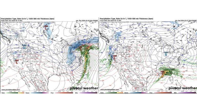
The region is experiencing significant day-to-day temperature changes, highlighting an unstable late-winter pattern. Temperatures recently climbed into the 80s earlier in the week, only to drop sharply, with some days struggling to reach the upper 40s to near 50 degrees.
This back-and-forth pattern is expected to continue briefly, with another rebound into the 70s by Thursday, followed by yet another cooldown heading into the weekend.
These rapid fluctuations are being driven by alternating air masses moving through the Mid-Atlantic, creating sharp contrasts in daily conditions.
Cooler Air Still Making Occasional Returns
Despite moments of warmth, cooler air continues to push into the region at times. This is why temperatures are not holding steady, with periodic dips back into the 40s and 50s interrupting warmer days.
This pattern reflects a lingering late-winter influence, where the atmosphere has not fully transitioned into a consistent spring setup.
Residents may notice large temperature differences from one day to the next, making it difficult to settle into a steady seasonal feel.
Early April Brings More Consistent Warmth
A noticeable change is expected as April begins, with temperatures trending toward more consistent highs in the 60s and 70s across Washington DC, Maryland, and Virginia.
This shift signals the beginning of a more stable spring pattern, where extreme swings become less frequent and temperatures level out.
Instead of sharp ups and downs, the region will likely see gradual warming with fewer interruptions from cold air.
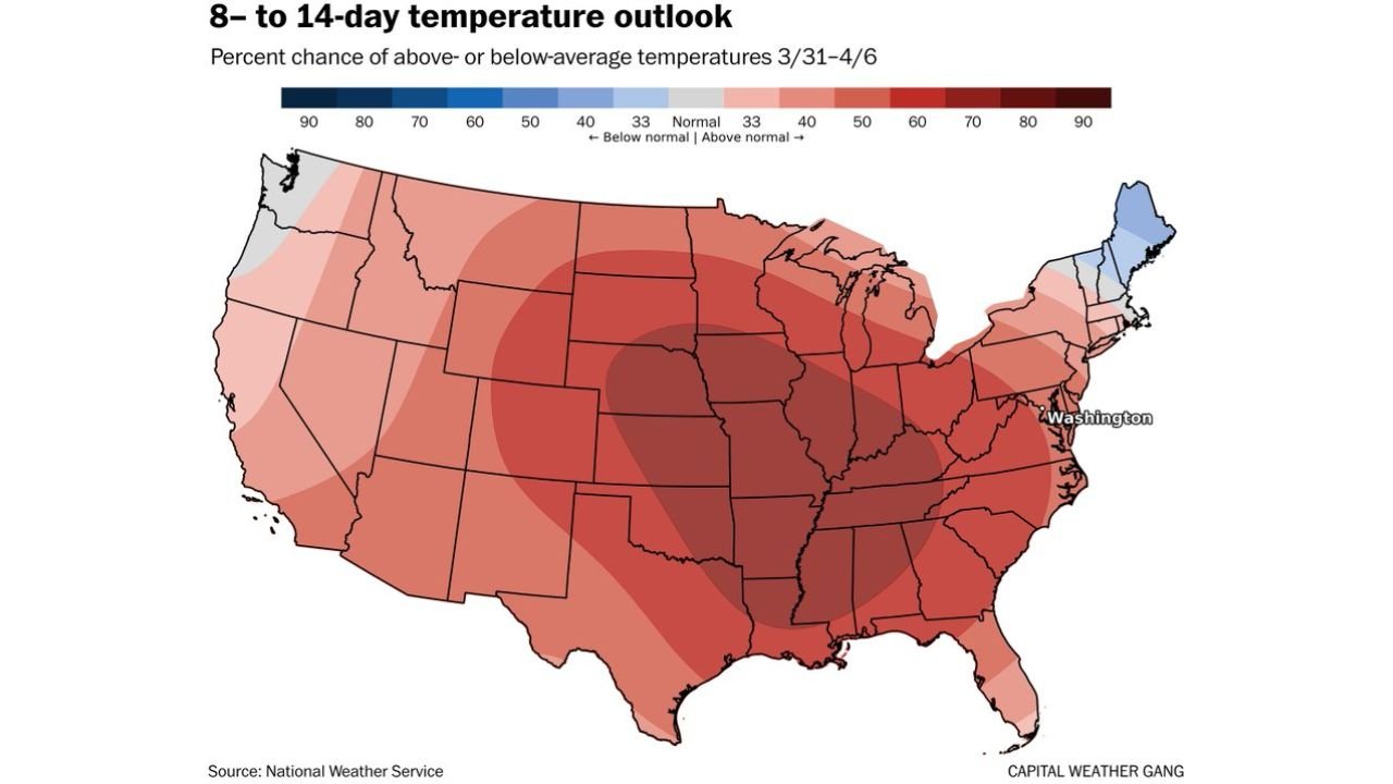
8 to 14 Day Outlook Favors Above-Normal Temperatures
The broader outlook supports this warming trend, with much of the eastern and central United States expected to see above-average temperatures over the next one to two weeks.
This includes the Mid-Atlantic region, where the pattern is expected to settle into a more predictable and seasonally warm regime.
While occasional variability is still possible, the overall trend clearly points toward a more stable and warmer stretch heading deeper into spring.
Transition Toward a Stable Spring Pattern
This evolving setup reflects a classic seasonal transition, where volatile late-winter conditions give way to more consistent spring warmth.
The current swings may feel dramatic, but they are part of the process as the atmosphere shifts toward a steadier, warmer pattern across the region.
Residents across Washington DC, Maryland, and Virginia are encouraged to monitor local forecasts as conditions stabilize. Share what weather you’re experiencing in your area and stay updated with the latest reports on CabarrusWeekly.com.