Watertown, New York Records Coldest Temperature in the Nation as Arctic Air Drives Readings Below −34°F
WATERTOWN, NEW YORK — An intense surge of Arctic air delivered the coldest temperature in the contiguous United States, with Watertown officially recording a low of −34°F early Sunday morning, according to national temperature data issued by federal forecasters.
The observation narrowly edged out other frigid locations across the northern tier, earning Watertown the distinction of coldest spot in the nation during the overnight period.
Watertown Claims the National Cold Spot
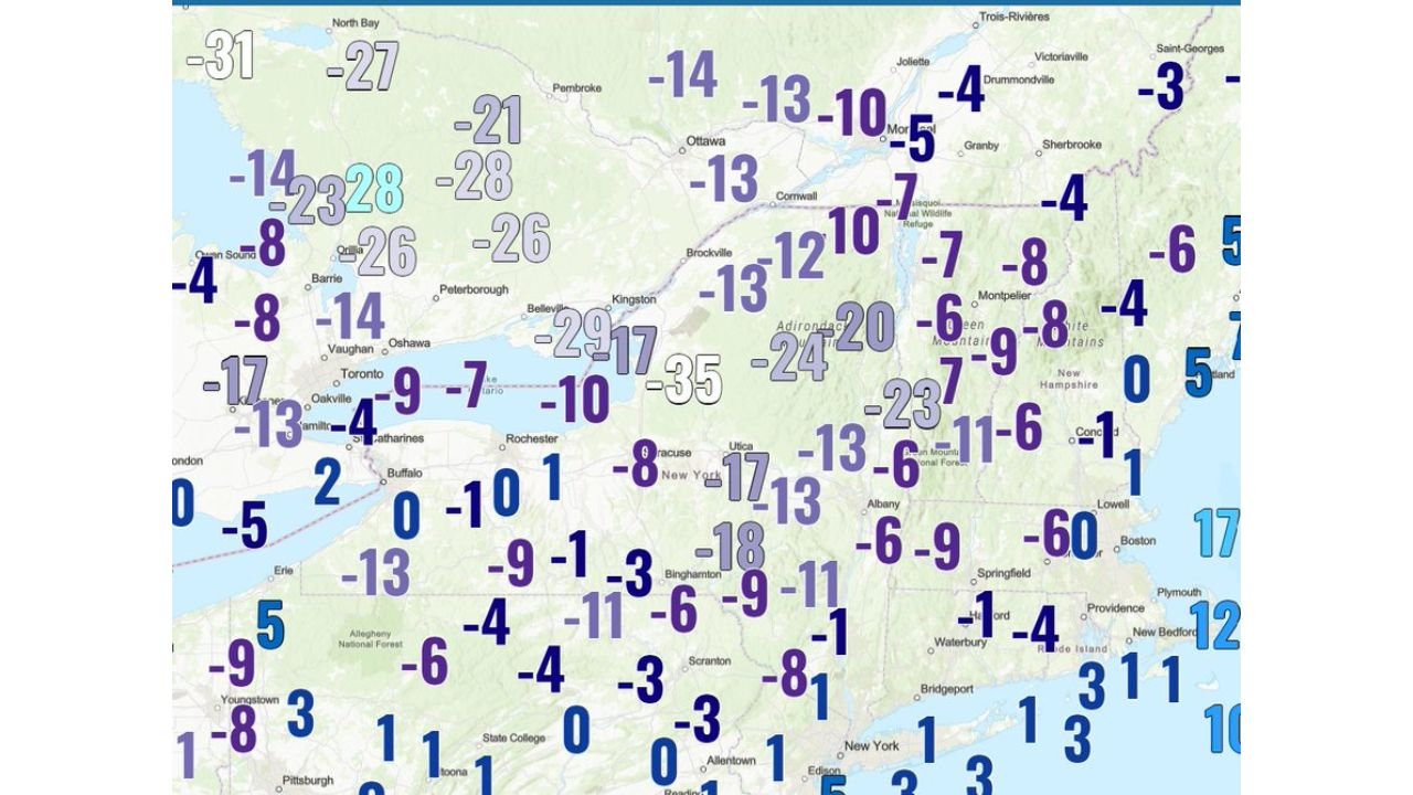
Temperature data compiled for Sunday, February 8, 2026, shows Watertown bottoming out at −34.6°F, which was officially rounded to −34°F in national reporting. This reading surpassed lows across northern New York, New England, and the Upper Midwest, where many locations still fell well below zero but did not reach the same extreme.
The cold was centered over northern New York and the Adirondack region, where clear skies, light winds, and deep snow cover allowed temperatures to plunge efficiently overnight.
Arctic Air Mass Dominates the Northeast
The record-setting cold was driven by a strong Arctic high-pressure system parked over eastern Canada and the Northeast. This setup allowed dense, dry polar air to settle across the region, with minimal cloud cover limiting any overnight heat retention.
Temperature maps from the same period show widespread single-digit and double-digit below-zero readings across New York, Vermont, New Hampshire, Maine, and parts of Pennsylvania, highlighting the breadth of the cold outbreak.
Why Watertown Dropped So Low
Watertown’s location near Lake Ontario’s eastern basin, combined with its inland position and snow-covered ground, makes it especially vulnerable during Arctic outbreaks. When winds weaken overnight, cold air pools efficiently, allowing temperatures to fall rapidly.
These conditions were nearly ideal for extreme radiational cooling, explaining how Watertown managed to separate itself from surrounding areas by several degrees.
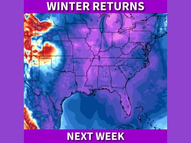
Cold Snap Part of Larger Winter Pattern
This event fits within a broader pattern of repeated Arctic intrusions affecting the eastern United States during early February. While daytime highs have moderated at times, overnight lows have repeatedly dropped to dangerous levels when high pressure settles directly overhead.
Forecasters note that even brief breaks in wind can produce sharp temperature drops, particularly in northern interior locations.
What Residents Should Keep in Mind
Extreme cold of this magnitude poses risks to infrastructure, exposed plumbing, pets, and human health. Conditions like these can lead to rapid frostbite and hypothermia in minutes if precautions are not taken.
If you experienced the cold firsthand or recorded unusually low temperatures in your area, share your observations and stay informed with continued weather coverage at CabarrusWeekly.com.