Kansas, Missouri and Iowa Storm Corridor Targets I-35 From Kansas City to Southern Iowa With Tornado Risk Followed by Damaging Wind Line
KANSAS, MISSOURI AND IOWA — A focused severe weather setup is expected to unfold this afternoon and evening, with a corridor along and east of Interstate 35 from Kansas City into southern Iowa emerging as a key zone for storm development and intensification.
Early Storm Development Targets I-35 Corridor
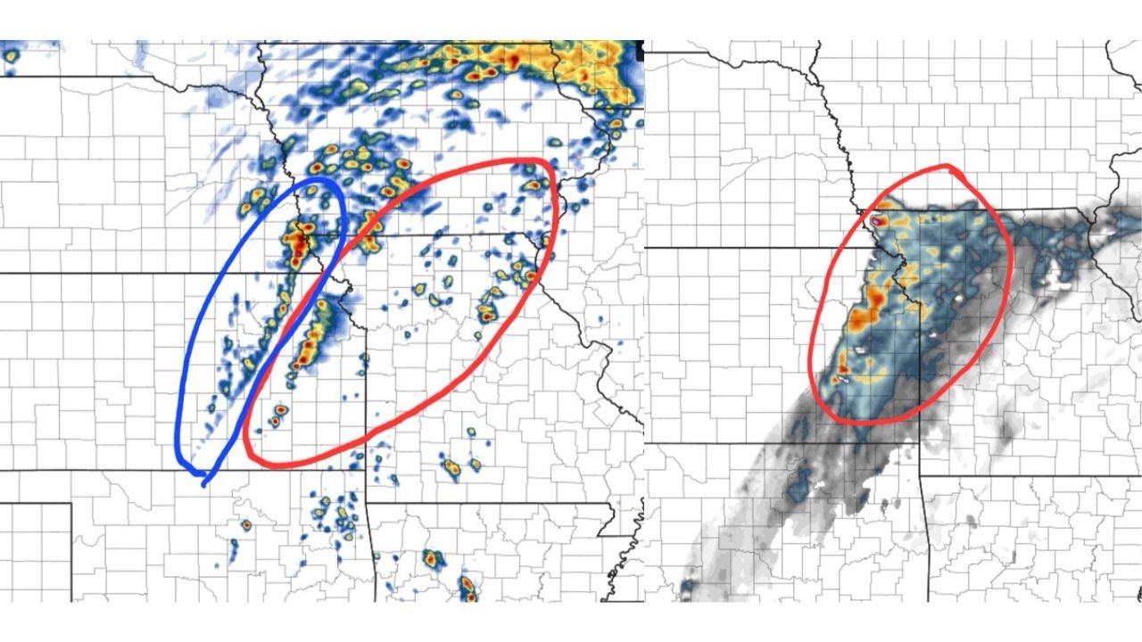
High-resolution forecast data indicates that storms will begin developing between approximately 3 PM and 5 PM, particularly along and just east of the I-35 corridor stretching from the Kansas City metro into southern Iowa.
This initial phase will feature discrete storm development, meaning storms form individually rather than in a line, increasing the chance for stronger and more organized structures.
Tornado Risk Elevated With Rotating Storms
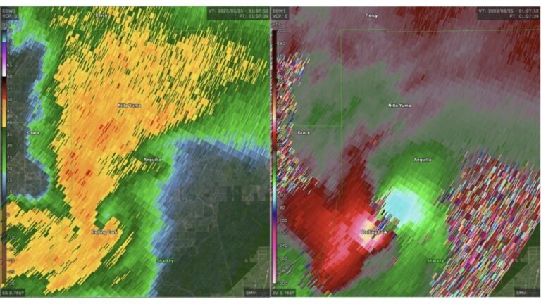
Within this early window, atmospheric conditions support enhanced low-level rotation potential, increasing the likelihood that some storms may become supercells capable of producing tornadoes.
The highest concern exists in areas east of I-35, where storms can remain more isolated and tap into favorable wind dynamics. This raises the possibility of brief tornado development along with hail and localized intense rainfall.
Transition to Damaging Wind Threat in Evening
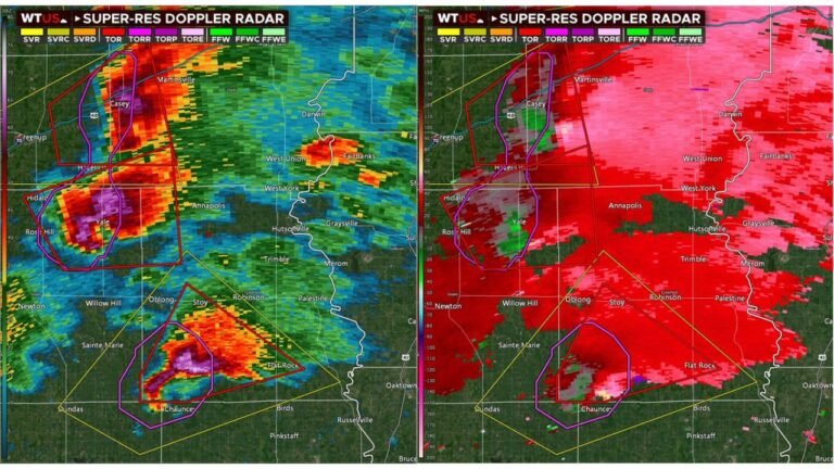
As the evening progresses, the storm mode is expected to shift. Between 6 PM and 9 PM, storms are forecast to consolidate into a more organized line moving eastward.
During this phase, the primary hazard transitions to damaging straight-line winds, as storms merge and become less isolated. While the tornado threat may decrease somewhat, it does not disappear entirely, and hail and isolated tornado potential may still persist within the line.
Storm Line Pushes East Across Missouri and Iowa
The organized line of storms will continue moving east into Missouri and Iowa through the evening hours, impacting areas beyond the initial development zone.
Communities near and east of Kansas City, as well as across southern Iowa, should be prepared for a period of intense weather including strong winds, heavy rain, and embedded severe storms.
A Two-Phase Severe Weather Setup
This event highlights a classic two-phase setup where early discrete storms bring tornado potential, followed by a later transition into a damaging wind-producing line.
Understanding this evolution is critical, as the most dangerous threats can shift quickly within just a few hours.
Residents across Kansas, Missouri, and Iowa are urged to stay weather-aware through the afternoon and evening, especially during the transition from isolated storms to a more widespread line.
If you experience severe weather conditions in your area, share your updates with CabarrusWeekly.com to help keep others informed during this rapidly evolving situation.