Strong El Nino Summer Pattern Historically Brings Cooler Temperatures and Elevated Storm Risks to the Southern and Central United States Including Texas Oklahoma Kansas Missouri and the Southeast
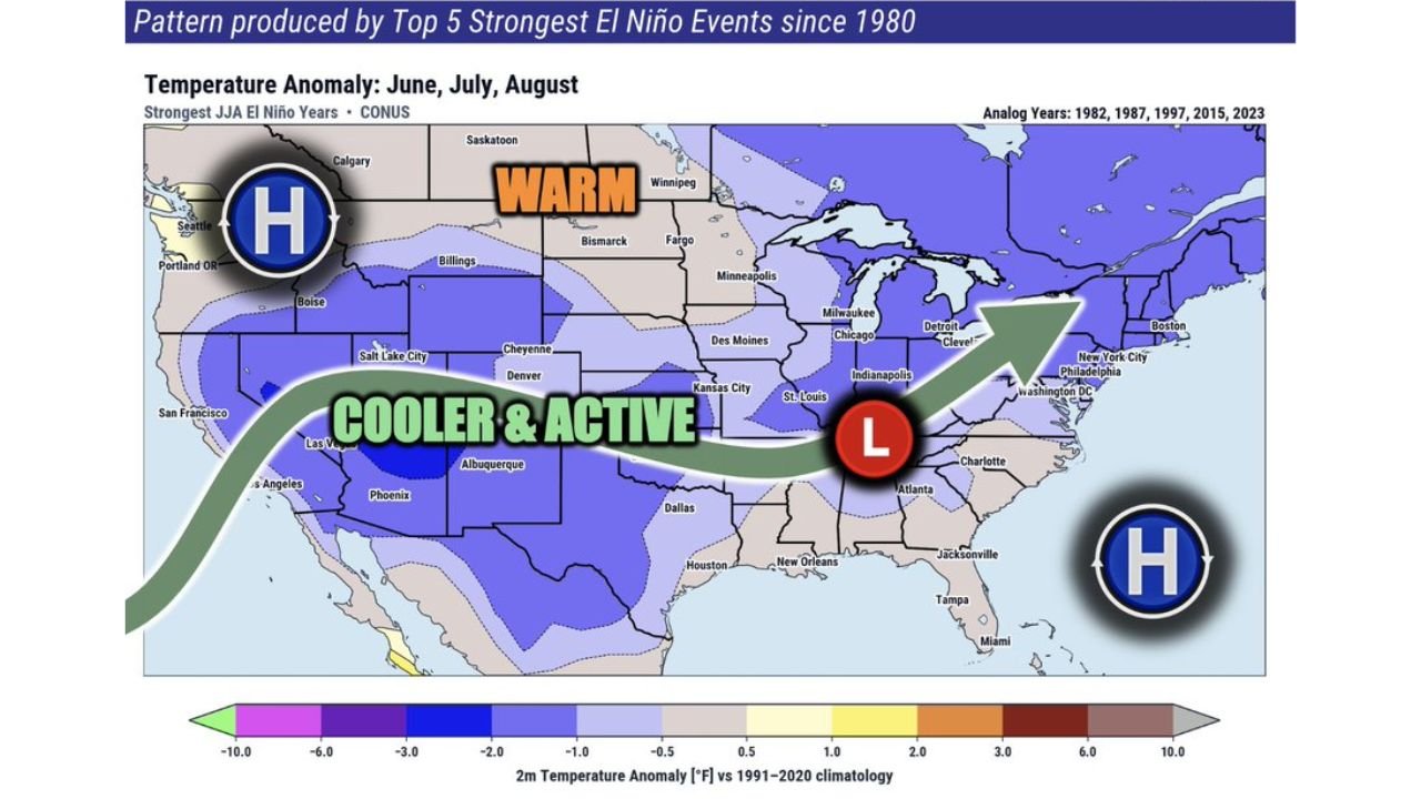
UNITED STATES — With growing discussion around a potential strong or super El Niño developing, it is critical to understand what historical data actually shows about how these events impact the United States during summer. Based on the top five strongest El Niño events since 1980, including analog years 1982, 1987, 1997, 2015, and 2023, the pattern that emerges for the Southern and Central United States is not one of extreme heat but rather one of cooler temperatures and elevated rain and storm activity during June, July, and August.
What Strong El Niño Actually Does to the US in Summer
The widely circulated assumption that El Niño means more heat across the United States during summer is not supported by historical data. While parts of the world do experience enhanced heat during El Niño events, the United States tells a different story. Strong to super El Niño events have traditionally produced a cooler and more active weather pattern across much of the Southern and Central US during the summer months.
The Two-Zone Summer Pattern Under Strong El Niño
Historical data from the strongest El Niño events points to a distinct two-zone setup across the country during summer:
| Region | Expected Pattern |
|---|---|
| Pacific Northwest and West Coast | Warmer than normal with dominant high pressure |
| Southern and Central United States | Cooler and more active with elevated storm risks |
| Northern Canada border states | Warmer than normal anomalies |
| Northeast Atlantic region | High pressure influence |
What Cooler and More Active Means for the Southern and Central US
For states across Texas, Oklahoma, Kansas, Missouri, the Mississippi Valley, and the Southeast, a strong El Niño summer pattern historically means:
- Less impactful and less frequent heat waves compared to neutral or La Niña summers
- Elevated rain and storm risks throughout the summer months
- A low pressure pattern dominating the central and southern United States
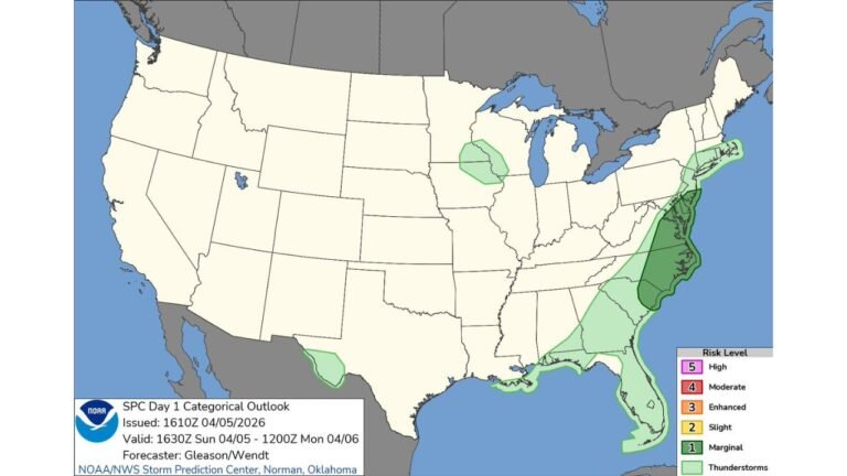
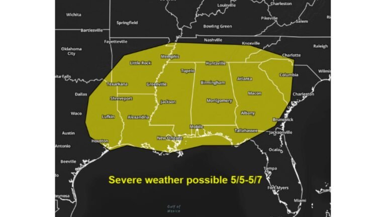
- More frequent severe weather opportunities from the Plains through the Southeast
Why This Matters for Summer 2026 Planning
If the strong El Niño signal that is being discussed verifies for summer 2026, residents across the Southern and Central United States should prepare for a summer defined more by active storm patterns and above-normal rainfall than by prolonged and dangerous heat waves. While individual heat events can still occur, the historical analog pattern clearly favors a cooler and stormier summer for this broad region.
Stay with CabarrusWeekly.com for ongoing coverage of the El Niño pattern and its impacts on summer 2026 weather across the United States.