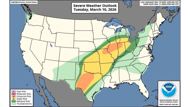
Texas, Louisiana, Mississippi, Alabama, Georgia and Tennessee Face Growing Severe Weather Threat May 5 Through May 7 With Tornadoes, Damaging Winds and Large Hail All Possible
UNITED STATES — Severe weather is becoming increasingly likely across parts of the Deep South during the May 5 through May 7 window, with tornadoes, damaging winds, and large hail all possible across a wide zone. The Storm Prediction Center has not yet outlined a specific area of interest, but the atmospheric data is building a concerning signal for mid-week next week.
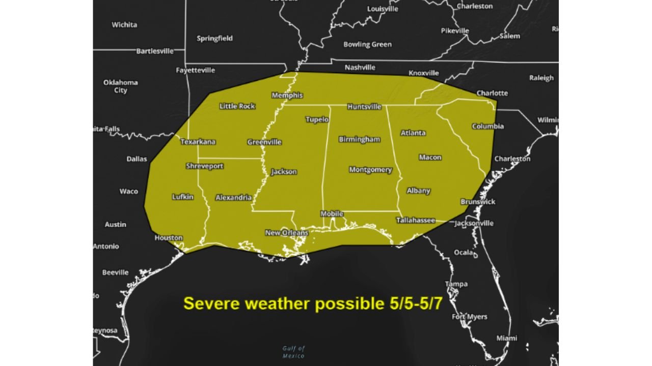
The Zone at Risk May 5 Through May 7
The severe weather possible zone covers a large area across the Deep South and Mid-South, stretching from Texarkana, Lufkin, Houston, and New Orleans in the west through Little Rock, Memphis, Jackson, Shreveport, Alexandria, and Greenville, and eastward through Tupelo, Huntsville, Birmingham, Montgomery, Mobile, Tallahassee, Atlanta, Macon, Albany, Brunswick, and Jacksonville.
The northern fringe of the outlined zone reaches toward Nashville, Knoxville, Charlotte, and Columbia, while the eastern edge extends toward the South Carolina coast.
What the Atmospheric Data Shows for May 6
GFS model data valid Wednesday, May 6, 2026 at 18:00 UTC shows the key ingredients coming together for a significant severe weather event:
Jet Stream and Wind Shear: The 500mb isotach data shows a powerful jet streak diving into the southern United States with wind speeds reaching well into the deep red zone exceeding 120 to 160 knots across the region. This level of upper-level wind energy is a critical ingredient for organized and long-tracked severe storms.
Instability: MLCAPE data valid the same time frame shows 2,500 to over 4,000 J/kg of mixed-layer CAPE building across the Gulf Coast states, centered over Louisiana, Mississippi, and Alabama. Values of this magnitude indicate an extremely unstable atmosphere capable of supporting explosive storm development.
Sounding Data: The GFS sounding valid May 6, 2026 at 18:00 UTC for the 30.86N, 94.10W location — covering the eastern Texas and Louisiana corridor — shows:
- MLCAPE: 3,124 J/kg
- Effective SRH: 243 m2/s2
- BRN Shear: 69 m2/s2
- Effective Shear: 49 knots
- STP: 2.0
- Critical Angle: 58 degrees
- Potential Hazard Type: TORNADO
The SARS sounding analogue system flags this profile as consistent with supercell storm mode, with the potential hazard type listed as TORNADO. STP values of 2.0 indicate a meaningful tornado threat when storms develop.
Why This Event Deserves Close Attention
The combination of an extremely powerful jet streak, very high instability values, and strong wind shear across the Deep South for the May 5 through 7 window represents one of the more significant severe weather setups seen in recent weeks. While exact timing, placement, and intensity of the threat will become clearer in the days ahead, the overall signal is strong enough to warrant preparation across the outlined zone now.
The Storm Prediction Center is expected to begin outlining specific risk areas as the event gets closer and model data continues to sharpen.
Stay with CabarrusWeekly.com for continuing updates on the May 5 through 7 severe weather threat across the Deep South as this pattern develops.