North Carolina, South Carolina, Georgia, Alabama, and Louisiana Face Rounds of Heavy Rain and Storms Through May 27 With Up to 4 Inches of Much-Needed Rainfall Targeting Drought-Stricken Southeast
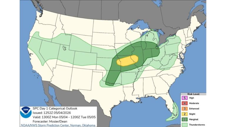
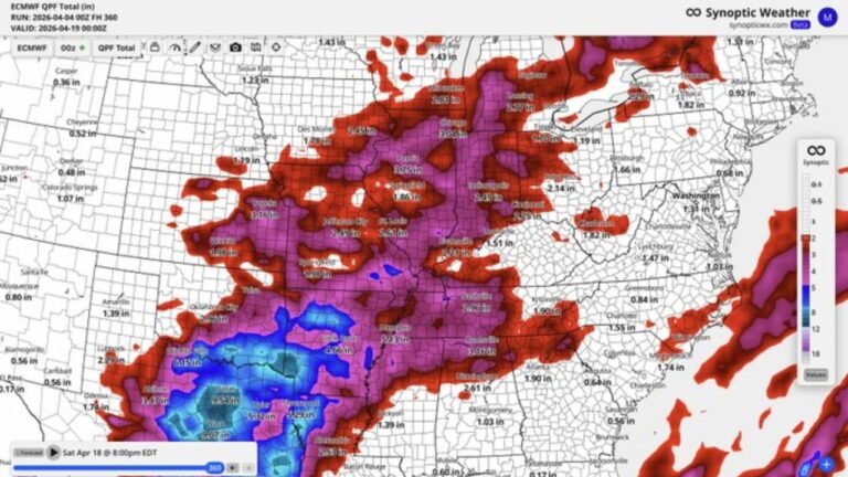
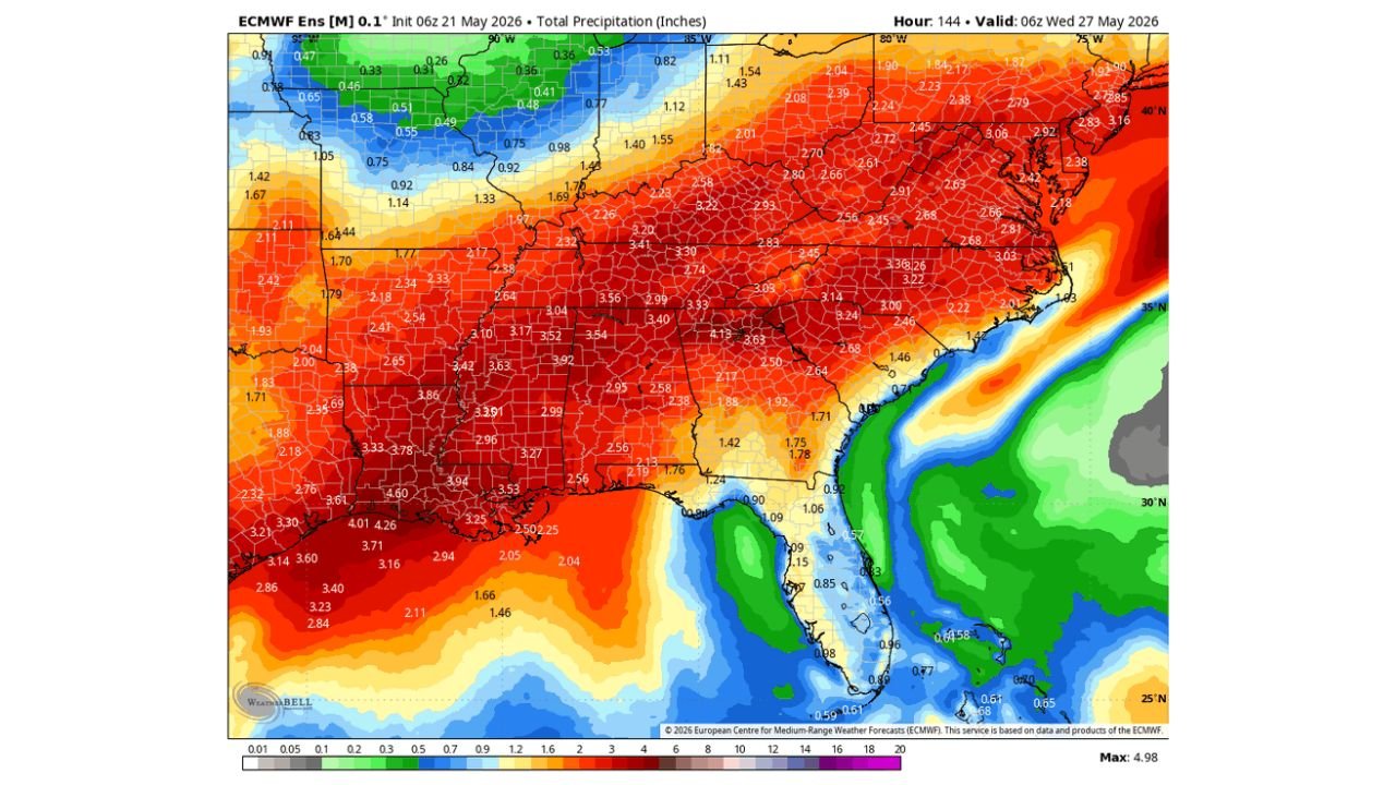
SOUTHEASTERN UNITED STATES — A high-confidence signal for repeated rounds of heavy rain and storms across the Southeast remains firmly in place through Wednesday, May 27, 2026, with forecast ensemble data showing widespread totals of 2 to 4 inches or more across the Carolinas, Georgia, Alabama, Mississippi, Louisiana, and surrounding states. Today’s activity will be more isolated downpours and storms, with broader and more widespread rain coverage expanding across the Carolinas and surrounding states starting tomorrow.
Why This Rain Is So Critical for the Southeast
The Southeast has been running a significant rainfall deficit for an extended period, with drought conditions covering large portions of the region. The incoming multi-day pattern through May 27 represents a solid and much-needed soaking that will begin to address moisture deficits across this drought-stressed region.
Rainfall Forecast Totals Through May 27 by Region
| Region | Forecast Totals |
|---|---|
| Louisiana and Mississippi core | 3.60 to 4.60 inches |
| Alabama and Georgia | 3.33 to 4.26 inches |
| Tennessee and Mississippi corridor | 3.01 to 3.94 inches |
| North Carolina and South Carolina | 2.45 to 3.36 inches |
| Virginia and Maryland | 2.38 to 3.06 inches |
| Arkansas and Missouri | 2.95 to 3.63 inches |
| Texas | 2.04 to 2.94 inches |
| Indiana and Ohio | 2.23 to 3.22 inches |
| Northeast corridor | 2.83 to 3.16 inches |
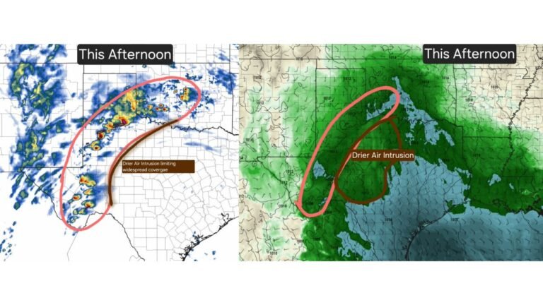
Today Brings Isolated Activity, Tomorrow Expands Coverage
The storm signal for today is real but more isolated in nature, with downpours and storms possible but not widespread. The bigger shift comes starting tomorrow, when rain chances expand to cover more areas of the Carolinas and surrounding states, spreading the beneficial rainfall across a broader footprint of the drought zone.
The Wet Pattern Continues Well Beyond This Week
Forecasters are emphasizing that this is not a one-day or even one-week event. The signal for rounds of heavy rain and storms in the Southeast remains elevated for the foreseeable future beyond May 27. This sustained wet pattern is exactly what the region needs to make meaningful progress against drought conditions that have built up over an extended dry stretch.
Flooding Remains a Concern Despite the Drought
Even in drought conditions, heavy and repeated rounds of rainfall can produce flash flooding, particularly in areas where dry and hardened soil cannot absorb water quickly enough. Residents across the Louisiana, Mississippi, Alabama, and Georgia corridor should monitor local flood watches and warnings as rainfall rates and totals increase through the week.
Stay with CabarrusWeekly.com for daily rain and flood updates across the Southeast through May 27 and beyond.