Pennsylvania Winter Storm Threat Builds for Late January as Potential Bomb Cyclone Takes Shape Along East Coast
PENNSYLVANIA — Forecasters are closely monitoring a developing winter weather pattern that could evolve into a powerful bomb cyclone between January 31 and February 2, with eastern Pennsylvania increasingly emerging as the most likely area for significant impacts if current trends continue.
While the storm is still several days away and many details remain unresolved, meteorologists say the large-scale atmospheric setup now in place strongly supports the potential for a major East Coast winter storm, capable of producing disruptive winter weather if the system fully develops.
Why Meteorologists Are Paying Close Attention
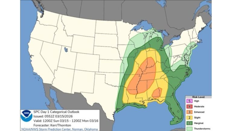
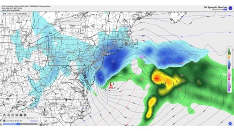
Forecast modeling indicates the system has the potential to undergo rapid intensification, a process known as bombogenesis, where surface pressure drops dramatically in a short period of time. Storms of this nature are often compared to winter hurricanes due to their ability to generate powerful winds, heavy snow, blizzard conditions, and power outages.
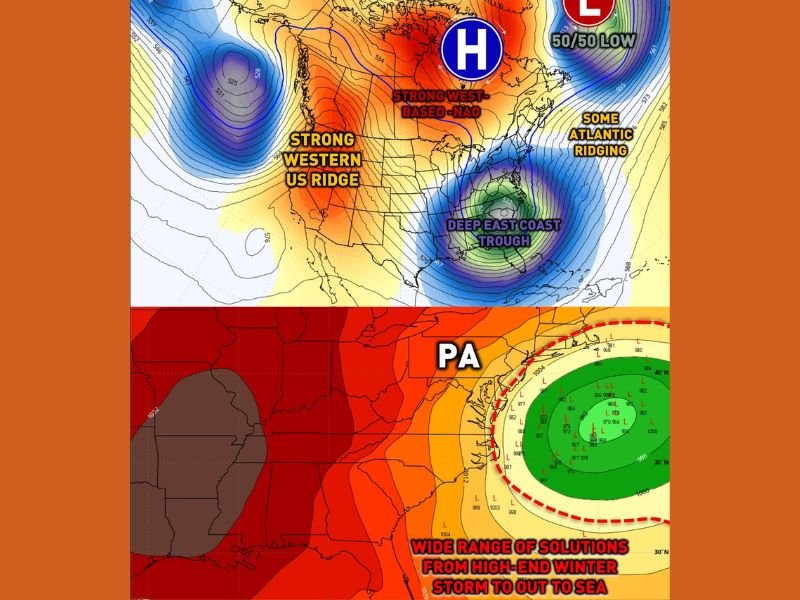
Several atmospheric factors are aligning that favor development, including a strong western U.S. ridge helping lock cold air into the eastern United States, a west-based negative NAO that historically favors coastal storm amplification, a departing 50/50 low in the North Atlantic, Atlantic ridging that could help steer the storm northward instead of out to sea, and an anomalous southeastern U.S. trough and upper-level low supporting storm organization as it moves north.
Eastern Pennsylvania Currently the Favored Zone
Among all potential impact areas, eastern Pennsylvania is currently trending as the most favored region should the storm track closer to the coastline. Recent guidance suggests a coastal solution, which would place eastern portions of the state closer to the storm’s strongest forcing and deformation zone.
Meteorologists note that western Pennsylvania may end up too far west, while central Pennsylvania remains on the fringe, where small track changes could dramatically alter outcomes.
High Uncertainty Still Remains
Despite increasing attention, forecasters emphasize that confidence is still limited because the system remains outside the five-day forecast window.
Key uncertainties include the exact storm track, whether storm energy phases strongly or weakly, and where the heaviest precipitation ultimately sets up. Because of these unknowns, meteorologists are urging the public to disregard snowfall totals being circulated online, calling them premature and unreliable at this stage.
Possible Timing and Impacts
If the system develops as projected, snow could begin as early as Saturday evening, with impacts potentially lingering into Monday morning. Depending on storm strength and track, impacts could include hazardous travel, strong winds, scattered power outages, and prolonged disruptions.
This system could also mark the third consecutive weekend with winter storm potential, highlighting how active and persistent the current pattern has become.
What Residents Should Do Now
At this point, forecasters are not urging alarm, but they are advising residents — particularly in eastern Pennsylvania — to remain weather-aware and follow updates closely throughout the week.
This is a classic wait-and-watch scenario, where confidence will increase substantially within the final three days before the event. Until then, meteorologists stress that while the storm is not guaranteed, the pattern is strong enough that it cannot be dismissed.
For continued updates, developing forecasts, and region-specific winter weather coverage, stay with CabarrusWeekly and check back regularly as meteorologists refine the outlook in the days ahead.