Ohio, Indiana, Kentucky and Pennsylvania Brace for Sunday Thunderstorm Risk as Cold Front Dives South with Damaging Winds and Heavy Rain Potential
OHIO — A developing weather setup is raising concerns across parts of the Ohio Valley as a cold front is expected to push southward on Sunday, potentially triggering thunderstorms with gusty winds and heavy rainfall.
Cold Front Setup Brings Storm Potential Sunday Afternoon
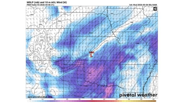
Forecast guidance shows a cold front diving southeast across the region on Sunday, acting as the primary trigger for thunderstorm development. While exact timing and storm coverage remain uncertain, meteorologists indicate that conditions could become favorable for organized storm activity during the afternoon hours.
The key factor will be when the front arrives. If it moves through during peak daytime heating, it could tap into stronger instability and increase storm intensity.
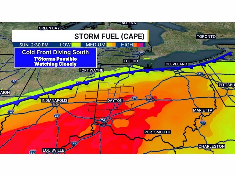
Highest Instability Centered Over Ohio Valley
Storm fuel, measured by CAPE (Convective Available Potential Energy), is expected to be moderate to high across portions of Ohio, Indiana, Kentucky, and into western Pennsylvania.
The most concentrated area of instability appears near Dayton, Columbus, Cincinnati, and extending toward Pittsburgh and surrounding areas, where warmer and more humid air will be in place ahead of the front. This setup suggests that storms that do develop could organize and strengthen, especially in areas where instability peaks.
Gusty Winds and Heavy Rainfall Main Threats
While it is still too early to determine the exact strength of individual storms, current signals point toward gusty winds and periods of heavy rainfall as the primary hazards.
The combination of instability and a moving cold front can allow storms to become more structured, increasing the potential for strong wind gusts capable of causing minor damage, along with localized downpours.
Timing and Coverage Still Uncertain
Meteorologists emphasize that there are still questions regarding storm coverage and exact timing, which will play a critical role in determining overall impact.
If the front arrives earlier in the day, storm intensity could be more limited. However, a later arrival would allow instability to build further, increasing the likelihood of more widespread and stronger thunderstorms.
What This Means for Residents
Residents across Ohio, Indiana, Kentucky, and Pennsylvania should stay alert for updates as the situation evolves. Even though this is not yet a confirmed severe weather outbreak, the setup is one that warrants close monitoring heading into Sunday.
As highlighted in the latest forecast discussion , this is a developing situation where small changes in timing could significantly impact storm strength and coverage.
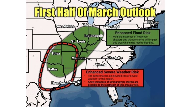
North Carolina Outlook Remains Unaffected for Now
At this time, the primary storm threat is confined to the Ohio Valley region, with North Carolina not directly impacted by this system in the short term. However, broader pattern changes could still influence weather across the Southeast later in the week.
Stay with CabarrusWeekly.com for continued updates on this developing storm setup, and share what conditions you’re seeing in your area as Sunday approaches.