April Storm Pattern Shifts Across Texas, Oklahoma, Kansas, Missouri, Illinois, Indiana, Kentucky, Tennessee With Rising Tornado Risk Early April
UNITED STATES — A significant pattern shift is beginning to take shape across the central United States, raising concerns for a ramp-up in severe weather as April begins, with early signals pointing toward April 2–3 as the first notable window for organized storms.
Although exact storm locations are still being refined, the broader setup already suggests increasing risks for thunderstorms, heavy rainfall, damaging winds, and potential tornadoes.
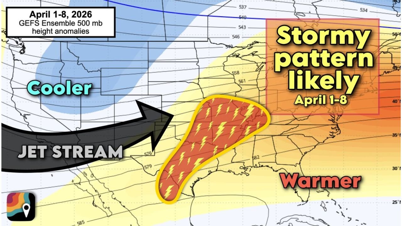
Heat Dome Breakdown Triggers Active Weather Setup
The current stable weather pattern is expected to change as a large high-pressure “heat dome” weakens and shifts away from the western and central U.S.
As this transition unfolds:
- Weather systems will begin moving more freely eastward
- A jet stream dip (trough) will settle into the western U.S.
- Cooler air will push southward across the Rockies
This evolving setup creates a strong contrast between warm and cold air — a key driver behind severe storm development.
Gulf Moisture Surges North Into the Plains and Midwest
At the same time, moist air from the Gulf of Mexico is expected to surge northward, feeding energy into the atmosphere across multiple regions.
This will help build:
- Warm, humid conditions across the Plains and Mississippi Valley
- Increasing instability in the atmosphere
- Favorable conditions for thunderstorms and heavy rainfall
As the advancing cold front interacts with this moisture, storms are likely to develop and organize.
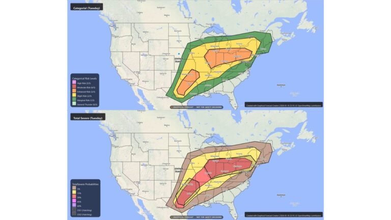
High-Risk Corridor Expands Across Multiple States
The early April setup highlights a broad zone where storms could develop, including:
- Texas, Oklahoma, Kansas
- Missouri, Arkansas
- Illinois, Indiana, Kentucky, Tennessee
This region represents a classic early-season severe weather corridor where temperature contrasts and moisture overlap.
Strong Winds Aloft Raise Concern for Tornado Development
The presence of strong upper-level winds adds another layer of concern, as it increases the chances for storms to organize and rotate.
Potential impacts include:
- Strong to severe thunderstorms
- Damaging wind gusts
- Large hail
- A few tornadoes possible
While it is too early to determine exact severity, the environment could support rotating storms capable of producing tornadoes in isolated areas.
Early April Timeline Still Coming Into Focus
The April 2–3 timeframe is currently the focus for the first round of storms, but:
- The exact placement of the storm corridor may shift
- Storm intensity will depend on how instability evolves
- Additional rounds of storms could follow into early April
More clarity is expected in the coming days as new data becomes available.
Seasonal Transition Supports Increasing Storm Activity
This setup coincides with a time of year when severe weather activity naturally increases across the United States.
During early April:
- Storm systems become more frequent
- Moisture from the Gulf strengthens instability
- Multi-day severe weather setups become more common
This makes the upcoming pattern shift especially important to monitor closely.
Preparation Recommended Ahead of Active Stretch
With signs pointing toward a more active period, it’s a good time to take precautions:
- Review emergency and shelter plans
- Ensure weather alerts are enabled
- Stay updated on forecast changes
Even with some uncertainty remaining, the overall trend suggests a growing potential for impactful severe weather as April begins.
Stay with CabarrusWeekly.com for continued updates as this developing storm pattern becomes clearer.