This Afternoon Into Tonight Severe Threat Stretches from Great Lakes to Gulf Coast as Ohio Valley Faces Highest Wind and Tornado Risk
UNITED STATES — A widespread severe weather setup is expected to continue developing through this afternoon and into tonight, with a broad corridor of storms extending from the Great Lakes down to the Gulf Coast.
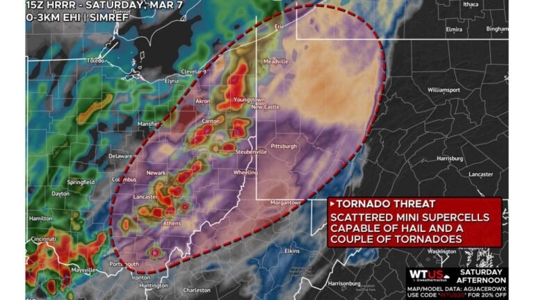
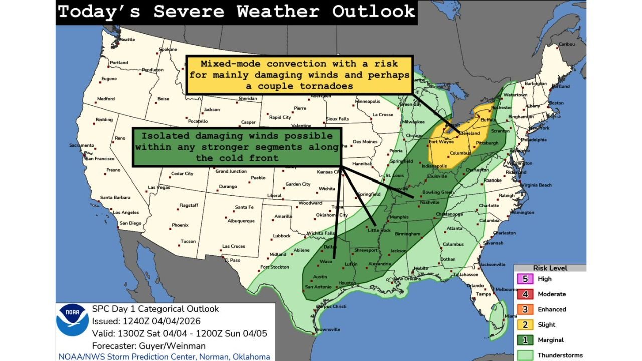
The latest outlook highlights the greatest concern across parts of the Ohio Valley, where a Slight Risk (Level 2 of 5) is in place. Within this zone, storms are expected to intensify as the day progresses, bringing a mix of damaging winds and a limited tornado threat.
Ohio Valley Emerges as the Primary Concern Area
The most focused severe risk today is centered across:
- Ohio
- Surrounding areas including Indiana, western Pennsylvania, and Kentucky
In this region, storms are expected to redevelop during the afternoon and evolve into organized clusters and mixed storm modes.
This type of setup supports:
- Damaging wind gusts as the main hazard
- The possibility of a few tornadoes, especially where storms remain more discrete before merging
Damaging Winds Lead the Threat Across Multiple States
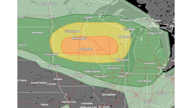
Across the broader risk area—from the Midwest to the Gulf Coast—the primary concern remains strong to damaging winds.
As storms organize:
- Wind gusts could become strong enough to cause tree damage and isolated power outages
- Line segments may form, increasing the potential for widespread wind impacts
Even outside the Ohio Valley, storms embedded within larger clusters could still produce brief bursts of stronger winds.
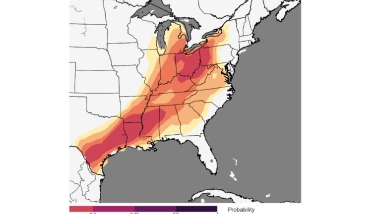
Cold Front Drives Additional Storm Activity to the Southwest
Farther southwest, along a trailing cold front extending through:
- Arkansas
- Louisiana
- East Texas
storm activity will be more scattered but still capable of producing isolated damaging wind events.
These storms are expected to be less organized overall, but any stronger segment along the front could briefly intensify and create localized impacts.
Mixed Storm Modes Increase Forecast Uncertainty
One of the key challenges with today’s setup is the presence of mixed-mode convection, meaning storms may not follow a single structure.
This includes:
- Individual cells (which could briefly rotate)
- Clusters of storms merging together
- Line segments producing wind-driven impacts
Because of this, the exact hazards may vary significantly from one location to another, with wind being the most consistent threat across all areas.
A Broad but Impactful Severe Weather Day
While this is not expected to be a high-end outbreak, the coverage of storms is large, stretching across multiple regions of the country.
Key takeaways:
- Widespread storm coverage from north to south
- Localized stronger storms capable of producing damage
- Short windows where tornado potential briefly increases
This type of setup can still lead to numerous scattered reports of damage, even without extreme risk levels.
What to Watch Through Tonight
Residents across the affected regions should stay alert for:
- Developing storms during the afternoon
- Increasing storm organization into the evening
- Sudden bursts of strong wind or isolated tornado warnings
Storms may evolve quickly, especially in the Ohio Valley, where conditions are most favorable for stronger impacts.
Stay Updated With Cabarrus Weekly
For continued updates on today’s severe weather threats, including storm development, warnings, and regional impacts, stay connected with Cabarrus Weekly. Share this update with others in the risk zone and monitor local alerts as conditions change through the evening.