Easter Morning Rain Exit Timeline Across Alabama: Showers Clear Southbound as Cooler 60s Air and Warm Week Ahead Take Over
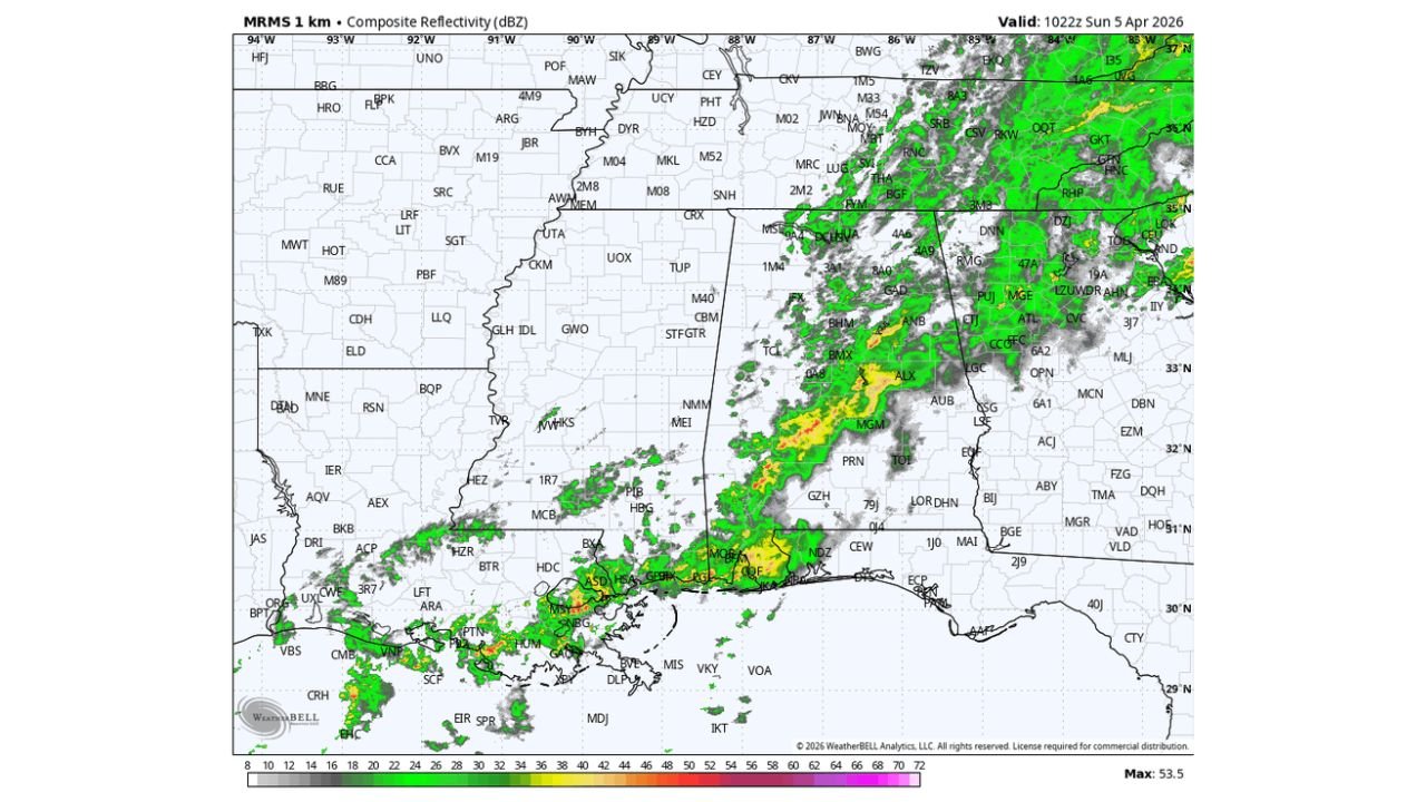
ALABAMA — Rain continues across much of the state this Easter Sunday morning, but a clear north-to-south exit pattern is now underway, setting the stage for a cooler afternoon followed by a dry and steadily warming week ahead.
Morning Rain Band Moving Out of North Alabama First
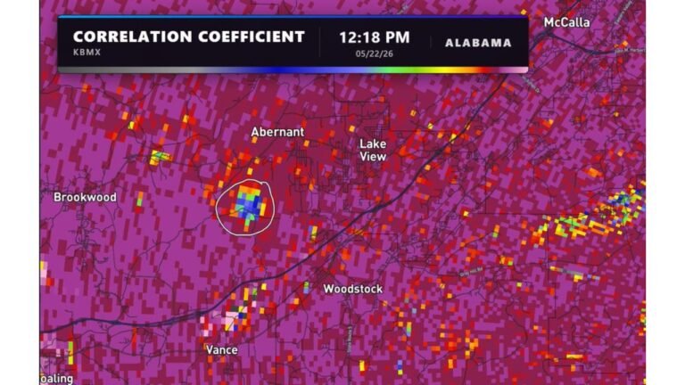
Early radar trends show a solid line of rain stretching from southwest to northeast Alabama, impacting areas including:
- Birmingham, Tuscaloosa, and Montgomery with steady rainfall
- Showers extending into central and southern counties
- Northern Alabama already beginning to dry out as the system shifts south
This confirms that the rain is not lingering evenly—instead, it is progressively clearing from north to south over the next several hours.
Cooler Air Settles In Behind the Rain
As the rain exits, a noticeable shift in temperatures will follow:
- Afternoon highs in northern Alabama will hold in the 60s
- Central and southern areas may stay slightly warmer but still cooler than recent days
- Skies will begin to clear from north to south, allowing for a calmer end to the day
This marks a refreshing cooldown after recent unsettled conditions.
Dry and Pleasant Pattern Takes Over This Week
Once the rain clears, Alabama transitions into a quiet and comfortable stretch of weather:
- High temperatures mostly in the 70s through midweek
- Overnight lows dipping into the 40s and 50s
- Dry conditions dominating with no major storm systems expected
This pattern provides a stable and pleasant spring setup, ideal for outdoor plans and recovery after recent rain.
Warming Trend Builds Toward Next Weekend
By the end of the week, temperatures begin climbing again:
- Highs returning to the 80s by April 11–12
- Gradual warming each day as sunshine dominates
- Nights becoming milder compared to early-week cool conditions
This signals a transition from a cool Easter to a warmer mid-April feel.
Longer-Term Outlook Shows Warm and Dry Conditions
Looking beyond the immediate forecast:
- A strong upper-level ridge is expected to build across the region
- This supports above-normal temperatures across much of the eastern United States
- Conditions trend drier than usual through mid-April
One key takeaway is that frost or freeze threats are becoming increasingly unlikely, as the region settles into a sustained warm pattern.
Stay Updated With Cabarrus Weekly
For daily weather timelines, temperature trends, and long-range outlooks across Alabama and beyond, stay connected with Cabarrus Weekly—your trusted source for clear and reliable weather coverage.