Missouri, Illinois, Texas and Kansas Brace for Final Round of Widespread Severe Storms Today Before Bigger Friday Outbreak Looms
UNITED STATES — A significant severe weather setup is unfolding across parts of the central United States today, marking what could be the final widespread and more robust storm event in the current active stretch before attention quickly shifts to a potentially larger system expected on Friday.
Today’s Severe Weather Focus Targets Midwest to Southern Plains
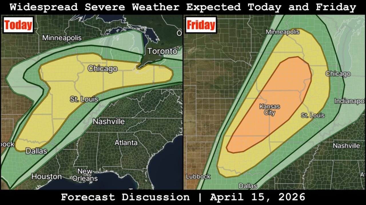
The primary corridor of concern today stretches from north Texas through Missouri into Illinois and parts of the Midwest, including major cities like Dallas, St. Louis, and Chicago. This zone is highlighted for organized thunderstorms capable of producing large hail and damaging winds.
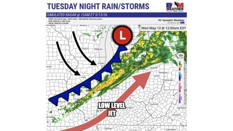
Storms are expected to develop in what is described as a messy atmospheric setup, meaning storms may not be perfectly organized but can still pack significant impacts. Even without a clean structure, these types of setups often produce scattered but intense pockets of severe weather, especially during the afternoon and evening hours.
Main Threats Today: Hail and Damaging Winds
The dominant risks with today’s storms include:
- Large hail, potentially strong enough to cause property damage
- Damaging wind gusts, capable of downing trees and power lines
While tornado risk is not emphasized as the primary threat in this setup, the overall environment still supports strong thunderstorm development across a wide area, making it important for residents in the highlighted regions to stay alert.
Friday System Could Bring More Organized and Widespread Severe Weather
Looking ahead, a more concerning system is expected to arrive on Friday, with the potential to bring widespread severe weather from the Southern Plains into the Midwest.
The projected risk area expands and becomes more organized, covering:
- Texas and Oklahoma northward into Kansas
- Extending into Missouri, Illinois, and surrounding states
Cities such as Kansas City, St. Louis, Dallas, and potentially areas near Chicago could once again find themselves in the path of stronger storms.
Unlike today’s messy setup, Friday’s system may feature a more structured environment, increasing the likelihood of:
- More organized storm clusters or supercells
- Wider coverage of severe weather impacts
- Continued threats of hail, damaging winds, and possibly additional hazards depending on how the system evolves
Why This Pattern Matters
This sequence of storms represents a transition point in the broader weather pattern. Today’s activity serves as the last major round in the current stretch, while Friday introduces a new, potentially more impactful system that could affect a larger region.
The consistency of storm chances over multiple days also raises concerns about repeated impacts in already affected areas, especially across parts of the Plains and Midwest.
What Residents Should Watch For
Residents across Texas, Oklahoma, Kansas, Missouri, and Illinois should closely monitor:
- Rapid changes in storm intensity during the afternoon
- Local warnings for hail and strong winds
- Updated forecasts regarding Friday’s expanding severe threat
Even if storms appear scattered, individual cells could quickly become severe, especially during peak heating hours.
Outlook Beyond Friday
While today’s storms mark the end of one phase, the incoming Friday system signals that active weather is far from over across the central United States. The evolving pattern suggests continued monitoring will be necessary as storm chances shift and expand.
Stay with CabarrusWeekly.com for the latest updates as this developing severe weather pattern continues to unfold across multiple states.