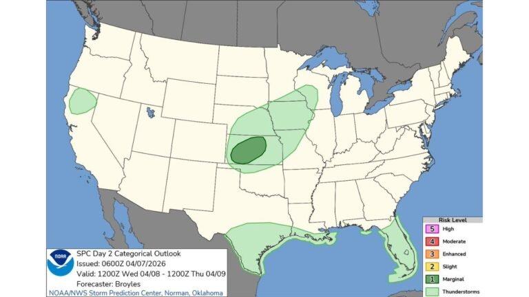
South Texas Faces Marginal Risk of Isolated Severe Thunderstorms Thursday Morning With Large Hail and Damaging Winds Possible From San Antonio to Corpus Christi
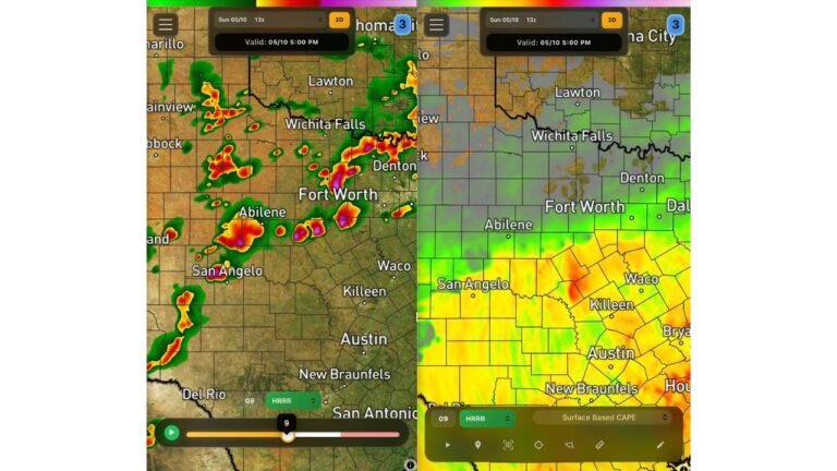
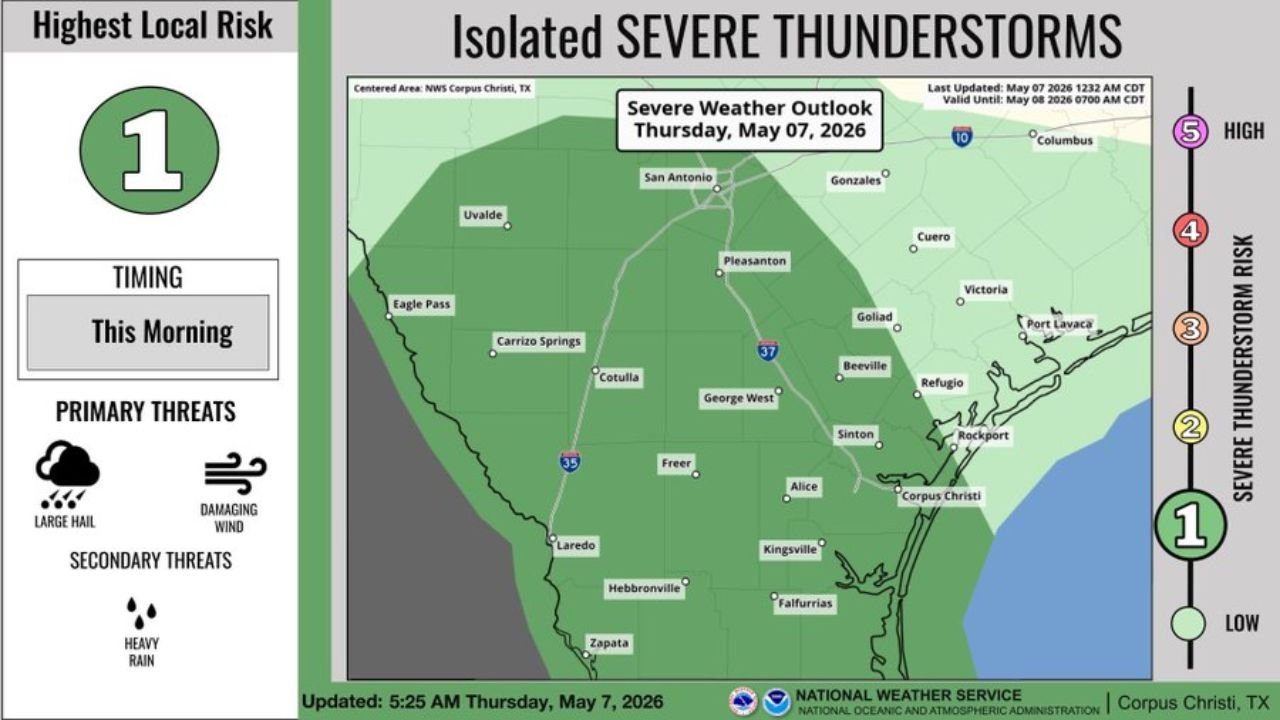
SOUTH TEXAS — A Marginal Risk Level 1 of 5 of isolated severe thunderstorms is in place across South Texas on Thursday morning, May 7, 2026, with large hail as the primary threat and damaging winds still possible. Tornadoes are unlikely with this event. The outlook is valid until 7:00 AM CDT on Friday, May 8, 2026.
The Risk Zone for Thursday Morning
The Marginal Risk area covers a broad swath of South Texas centered on the NWS Corpus Christi area, stretching from San Antonio and Uvalde in the north down through Laredo, Hebbronville, and Zapata in the southwest and eastward through Corpus Christi, Rockport, and Port Lavaca along the Gulf Coast.
Cities within the risk zone include:
- San Antonio, Texas
- Corpus Christi, Texas
- Laredo, Texas
- Alice, Texas
- Beeville, Texas
- Kingsville, Texas
- George West, Texas
- Pleasanton, Texas
- Carrizo Springs, Texas
- Rockport, Texas
- Victoria, Texas
Hazards in Effect Thursday Morning
| Threat | Status |
|---|---|
| Large Hail | Primary Threat |
| Damaging Winds | Possible |
| Heavy Rain | Secondary Threat |
| Tornadoes | Unlikely |
Timing of the Threat
The severe weather window is focused on this morning, with isolated severe thunderstorm activity possible across the South Texas risk zone during the morning hours. Activity is expected to remain isolated in nature given the low-end Marginal Risk designation.
What South Texas Residents Should Know
While this is a Level 1 of 5 event, isolated severe thunderstorms can still produce damaging hail and gusty winds locally. Residents across San Antonio, Corpus Christi, Laredo, and the surrounding South Texas communities should remain weather aware through the morning hours and have a way to receive any warnings that may be issued.
Stay with CabarrusWeekly.com for continuing updates on severe weather across South Texas and the broader region.