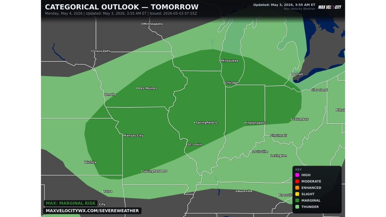
Illinois, Indiana, Ohio and Missouri Face Scattered Damaging Wind Gusts and Large Hail Monday With Widespread Storms and Isolated Tornado Possible Overnight
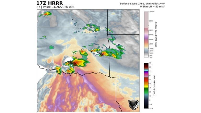
ILLINOIS, INDIANA AND OHIO — Severe weather returns to the Midwest on Monday, May 4, 2026, with scattered storms developing during the afternoon hours and becoming more widespread through the evening and overnight, bringing isolated damaging wind gusts, large hail, and a nonzero tornado risk across a corridor covering Illinois, Indiana, Ohio and Missouri.
Afternoon Storms Bring Damaging Wind and Large Hail Across the Core Zone
The threat begins during Monday afternoon with scattered storm development producing isolated damaging wind gusts and large hail across the risk zone. Cities directly in the path include Chicago, Milwaukee, Springfield IL, St. Louis, Indianapolis, Columbus, Cincinnati, Louisville and Kansas City.
This is not a major outbreak. The maximum categorical risk is Marginal, meaning storms will be scattered rather than widespread during the afternoon hours.
Evening and Overnight Hours Bring the Most Widespread Wind Threat
As Monday evening arrives, storms become more widespread with wind as the dominant hazard across the full corridor. Overnight storm activity will extend the threat toward Des Moines, Omaha, Lexington, Nashville and Knoxville, with thunder continuing into the early morning hours.
Full Hazard and Timing Breakdown
| Period | Primary Threat | Coverage |
|---|---|---|
| Monday afternoon | Damaging wind gusts, large hail | Scattered and isolated |
| Monday evening | Wind dominant | Becoming widespread |
| Overnight | Wind, thunder | Widespread across corridor |
Residents across Illinois, Indiana, Ohio and Missouri should keep weather alerts active through Monday night and prepare for potential overnight storm disruption.
Stay with CabarrusWeekly.com for live Monday severe weather updates across Illinois, Indiana, Ohio and the broader Midwest.