Today From 1 to 7 PM, Atlanta, Birmingham, Charlotte, Jacksonville, New Orleans, and Houston Face Damaging Winds, Large Hail, and a Low Tornado Risk as Severe Weather Continues Across the Southeast
SOUTHEAST UNITED STATES — Severe weather will continue across a broad stretch of the Southeast today, Monday May 11, 2026, with damaging winds, large hail, and a low tornado risk all in place. The peak severe weather window runs from 1 PM to 7 PM, covering a massive area from the Gulf Coast through the Carolinas.
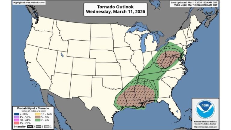
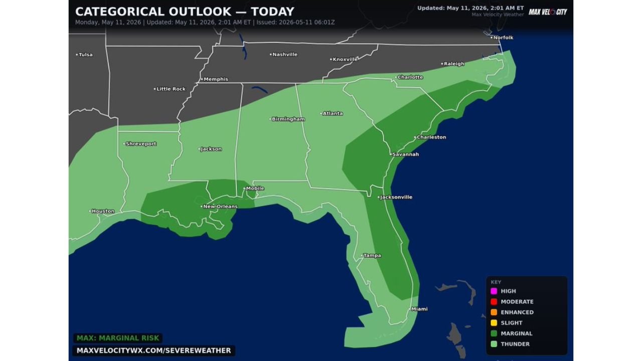
Categorical Outlook Shows Marginal to Slight Risk Across the Southeast
The categorical outlook updated at 2:01 AM ET on May 11, 2026 shows the following risk levels:
- Slight Risk — core zone covering Birmingham, Atlanta, Savannah, Charleston, and Jacksonville
- Marginal Risk — broader surrounding area covering Houston, Shreveport, Jackson, Mobile, New Orleans, Charlotte, Raleigh, and Tampa
- Thunder Risk — outer fringe extending toward Miami and the southern Florida peninsula
Cities including Nashville, Memphis, Little Rock, Knoxville, and Tulsa sit outside the current threat area.
Hazards in Place Today
- Damaging winds — primary threat across the region
- Large hail — possible with stronger storm cells
- Low tornado risk — cannot be ruled out across the threat zone
Peak Window Is 1 PM to 7 PM — Stay Alert
If you are anywhere across the Southeast today, the 1 PM to 7 PM timeframe is the most dangerous window. Have a weather alert plan ready and monitor conditions closely through the afternoon and early evening hours.
Stay with CabarrusWeekly.com for live updates as this Southeast severe weather event unfolds through 7 PM today.