Severe Weather Pattern Quiets Through Early May but Southern US Should Watch Tuesday Through Thursday Next Week as Jet Streak and Gulf Moisture Return
UNITED STATES — After an active close to April, the severe weather pattern across most of the United States is shifting into a generally unfavorable setup heading into the first couple weeks of May. A persistent East Coast trough and a West Coast ridge are working together to suppress widespread storm development — with one focused window of concern emerging around Tuesday through Thursday next week.
The Large Scale Pattern Locking In Through Early May
GEFS model data initialized Thursday, April 30, 2026 and valid through Friday, May 8, 2026 shows the dominant atmospheric setup clearly. A strong West Coast ridge is firmly established across the western United States while an East Coast trough digs into the northeastern portion of the country. This combination creates a pattern that is generally hostile to widespread organized severe weather across most of the US through the first couple weeks of May.
This pattern is expected to remain persistent and is not showing signs of breaking down quickly.
The One Window to Watch — Tuesday Through Thursday Next Week
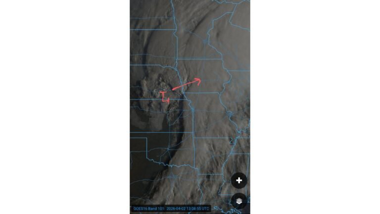
Despite the overall quiet pattern, a significant exception is on the horizon. Around the Tuesday through Thursday time frame next week, a robust jet streak is expected to translate into the southern United States, coupled with ample moisture return from the Gulf.
GFS ensemble data valid Tuesday, May 5, 2026 shows the jet stream diving southward with a strong wind signal pushing into the southern tier of the country. Surface dewpoint data for the same date shows moisture values climbing into the mid to upper 60s across Texas, Louisiana, and the Gulf Coast, with readings of 65 to 71 across portions of South Texas and the Gulf region, and 57 to 67 pushing into the central Gulf states.
This combination of a strong upper-level jet and rich Gulf moisture is the setup that severe weather outbreaks in the southern US are built on.
What the Moisture Data Shows for May 5
Surface dewpoint readings from the GFS ensemble valid Tuesday, May 5 show:
- South Texas and Gulf Coast: 65 to 71
- Louisiana and Mississippi corridor: 62 to 67
- Central Gulf states: 57 to 65
- Tennessee Valley and Mid-South: 54 to 59
- Mid-Atlantic and Southeast: 50 to 56
The moisture return is deep and well-established across the southern tier by the time the jet streak arrives, creating the ingredients needed for organized storm development.
The Outlook Into Mid-May
For the majority of the country through the first couple weeks of May, the West Coast ridge and East Coast trough pattern keeps widespread severe weather suppressed. The Tuesday through Thursday window around May 5 through 7 stands out as the primary period of elevated concern for the southern United States, and that threat will become clearer in the days ahead as the timing of the jet streak comes into sharper focus.
Stay with CabarrusWeekly.com for continuing updates on the May severe weather outlook as this pattern evolves.