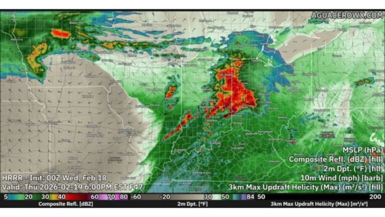
Missouri, Illinois, Indiana and Ohio in Focus for March 26 Severe Storm Threat With Large Hail and Damaging Winds Risk
UNITED STATES — A new round of severe weather is expected to develop on Thursday, March 26, as a dynamic spring setup takes shape across the Midwest and Ohio Valley, bringing the risk of strong to severe thunderstorms from Missouri through Illinois, Indiana, and into Ohio.
Storm Setup Begins With Strong Upper-Level Winds
The developing system will be driven by strong westerly flow aloft moving over a warm southern U.S. ridge, creating a favorable environment for storm development.
At the same time:
- A cold front will push southeastward across the region
- A moist and unstable airmass will surge northward ahead of it
- Increasing wind energy in the upper atmosphere will enhance storm organization
This combination is a classic trigger for organized severe thunderstorms.
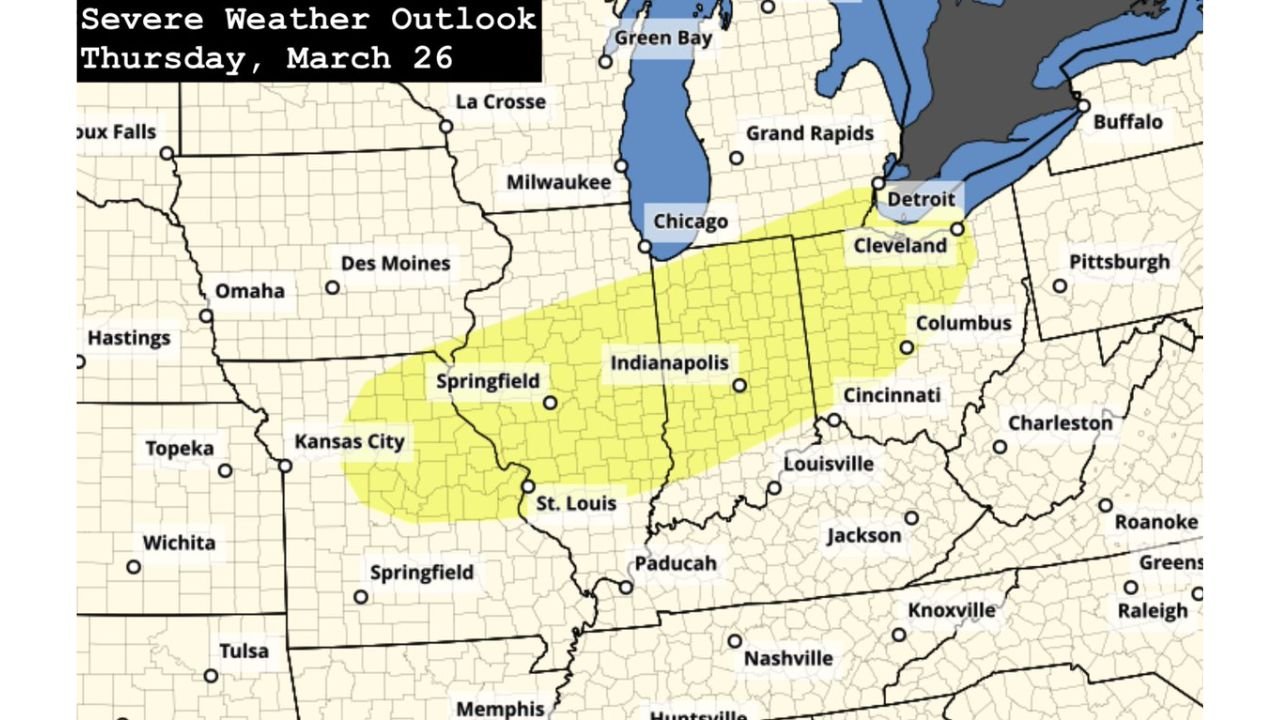
Target Area From Missouri to Ohio Valley
Current projections highlight a corridor of concern stretching from:
- Missouri and eastern Kansas
- Through Illinois and Indiana
- Into Ohio and parts of the lower Great Lakes region
Cities including St. Louis, Indianapolis, Cincinnati, and Columbus sit within or near the potential impact zone.
Main Threats: Large Hail and Damaging Winds
As storms develop Thursday afternoon into the evening, the primary hazards are expected to include:
- Large hail, potentially significant in stronger storms
- Damaging wind gusts capable of downing trees and power lines
The presence of strong upper-level winds suggests storms may organize into clusters or lines, increasing the wind damage threat.
Timing: Afternoon Into Evening Peak
The severe weather window will likely unfold in two main phases:
- Initial storm development during the afternoon hours
- Expansion and intensification into the evening as the front progresses eastward
Residents should be particularly alert during the late afternoon through nighttime period, when storms are expected to be most active.
Moisture and Forcing Align Along the Front
Forecast models show a clear alignment of key ingredients:
- Deep moisture pooling ahead of the front
- Strong lift along the boundary
- Jet stream energy overhead enhancing storm strength
This alignment increases confidence that storms will develop along the front and track eastward through the evening.
Some Uncertainty Still Remains
While confidence is growing in a severe weather setup, some details are still uncertain:
- Exact storm intensity and coverage
- Whether storms remain discrete or form into lines
- The precise corridor of highest impact
As Thursday approaches, these details will become clearer with updated forecasts.
Early Spring Pattern Becoming More Active
This system is part of a broader trend as the atmosphere transitions deeper into spring:
- Increasing temperature contrasts
- Stronger jet stream patterns
- More frequent storm systems
All of these contribute to a rising risk of severe weather events across the central and eastern U.S.
Final Outlook
Thursday, March 26 is shaping up to bring a notable severe weather risk from Missouri through Illinois, Indiana, and into Ohio, with large hail and damaging winds as the primary concerns.
As the cold front moves through and storms develop, residents across the region should stay weather-aware and prepared for rapidly changing conditions.
Stay with CabarrusWeekly.com for continued updates on this developing severe weather threat.