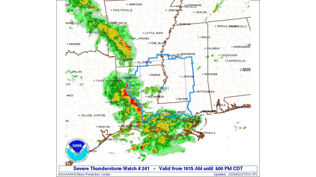
Severe Thunderstorm Watch Number 241 Issued for Arkansas, Louisiana, and Mississippi Until 6:00 PM CDT Saturday May 23 Covering Shreveport, Jackson, Baton Rouge, New Orleans, and Alexandria
ARKANSAS, LOUISIANA AND MISSISSIPPI — The Storm Prediction Center has issued Severe Thunderstorm Watch Number 241 covering portions of Arkansas, Louisiana, and Mississippi, valid from 10:15 AM through 6:00 PM CDT on Saturday, May 23, 2026. Active and intense storm cells are already visible on radar across the watch area, with the heaviest activity concentrated along a corridor from Shreveport through central Louisiana and into southern Louisiana.
The Watch Is Active Right Now
Severe Thunderstorm Watch 241 is a live and official severe weather watch from the Storm Prediction Center. This watch means conditions are favorable for severe thunderstorms to develop or continue across the covered area through 6:00 PM CDT. Residents inside the watch zone must remain weather-aware and be ready to act immediately if a Severe Thunderstorm Warning is issued for their specific location.
Communities Directly Inside Watch 241
The watch polygon covers a large area across all three states including:
Arkansas:
- El Dorado and Texarkana area
Louisiana:
- Shreveport and Monroe
- Alexandria
- Baton Rouge and Lafayette
- Lake Charles and New Orleans
- Boothville and the Gulf Coast corridor
Mississippi:
- Greenville and Greenwood
- Jackson and McComb
- Hattiesburg
Radar Is Already Showing Intense Activity
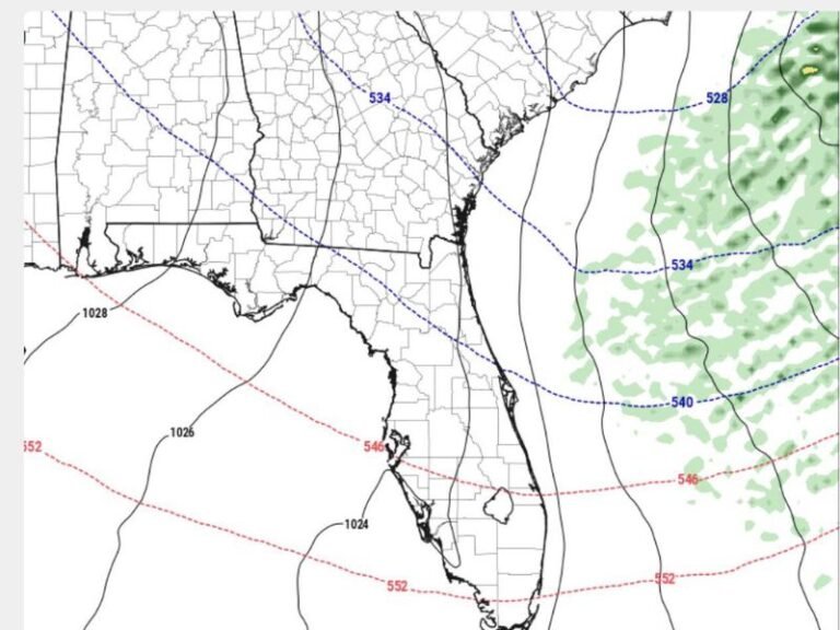
Radar updated at 1516 UTC shows multiple intense storm cells with strong reflectivity values firing across the watch zone, with the most concentrated and organized activity visible from Shreveport southward through central and southern Louisiana. Cells producing heavy rain and potentially damaging winds are already moving through portions of the watch area.
What a Severe Thunderstorm Watch Means for You
A Severe Thunderstorm Watch does not mean severe weather is occurring at your location right now, but it means conditions are highly favorable for it to develop. Stay indoors or near shelter, keep weather alerts active on all devices, and monitor radar conditions closely through 6:00 PM CDT.
Stay with CabarrusWeekly.com for live watch and warning updates across Arkansas, Louisiana, and Mississippi through Saturday afternoon.