Nebraska and South Dakota Carry Highest Tornado Risk Saturday as Severe Weather Threat Spans Texas to Montana on May 30
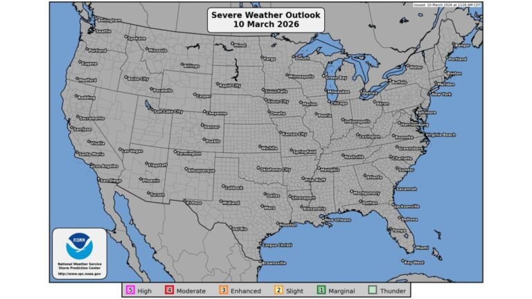
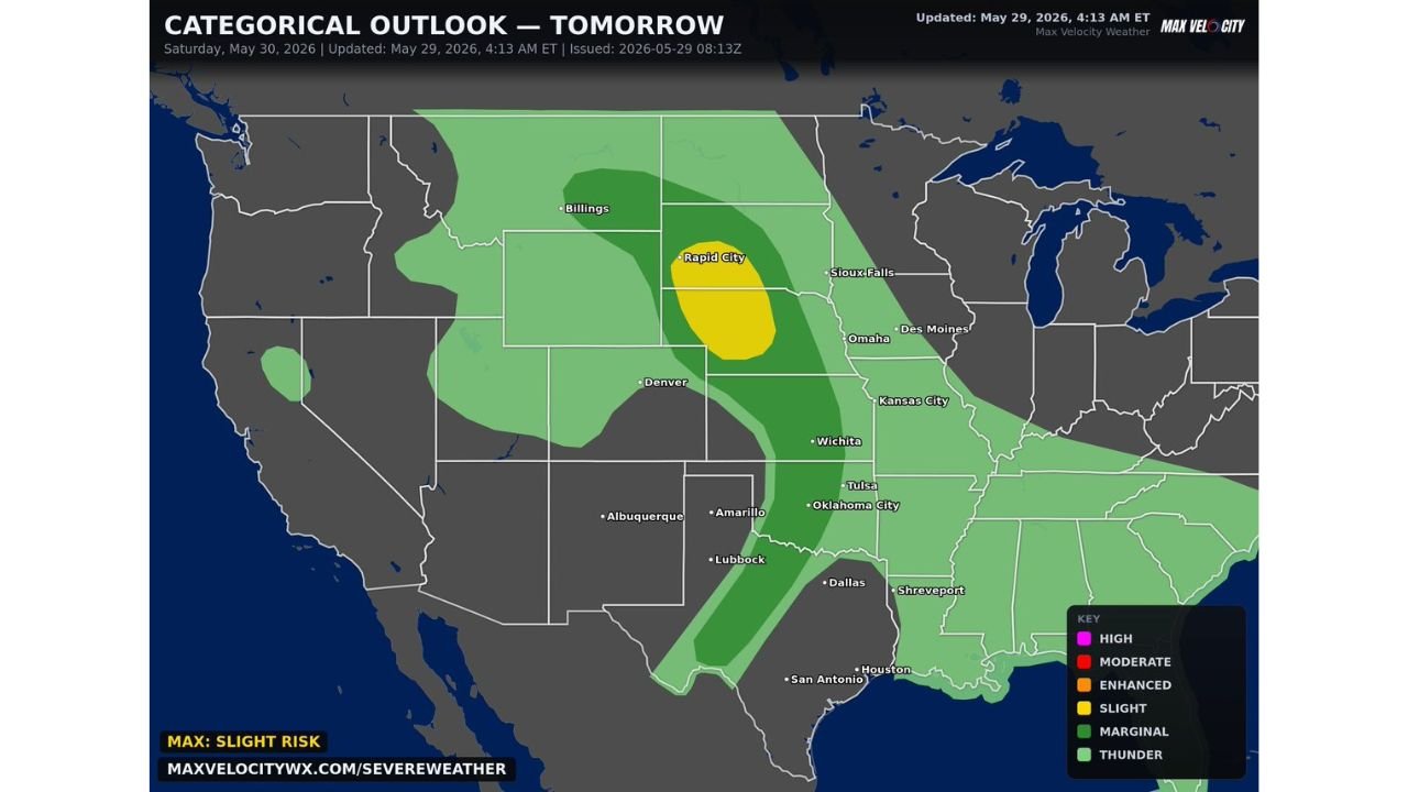
UNITED STATES — A growing severe weather threat is taking shape for Saturday, May 30, 2026, with all hazards in play across a corridor stretching from Texas to Montana. The categorical outlook updated at 4:13 AM ET on May 29, 2026 shows the highest risk concentrated across Nebraska and South Dakota, with a Slight Risk zone centered near Rapid City and the surrounding region. Damaging winds, large hail and tornadoes are all possible across the threat corridor.
The Risk Zones: Who Faces What
The categorical outlook map breaks the threat down across multiple risk tiers:
Slight Risk (Yellow) — Highest Threat:
- Centered over western Nebraska and southwestern South Dakota near Rapid City
- This is the maximum risk level on Saturday’s outlook
- Tornado threat is highest in this zone per forecasters
- Large hail and damaging winds also likely
Enhanced Risk (Dark Green) — Significant Threat:
- Covers a broad area including eastern Wyoming, western Nebraska, western South Dakota and extending southward
- Rapid City sits on the northern edge of this zone
Marginal Risk (Medium Green) — All Hazards Possible:
- Extends from Montana and the Billings area southward through Colorado, Kansas, Oklahoma, Texas and down to San Antonio and Houston
- Southern Kansas and northern Oklahoma specifically flagged for a tornado threat that cannot be ruled out Saturday evening
- Sioux Falls, Omaha, Kansas City, Wichita, Tulsa, Oklahoma City, Dallas, Lubbock and Amarillo all fall within the marginal risk footprint
Thunder Risk (Light Green):
- Covers the broadest area including the Pacific Northwest, Upper Midwest and Deep South
All Hazards in Play Saturday
Forecasters are clear that this is an all-hazards severe weather event:
- Tornadoes — highest risk in Nebraska and South Dakota, but possible in southern Kansas and northern Oklahoma Saturday evening
- Large hail — widespread threat across the entire risk corridor
- Damaging winds — possible from Texas northward through Montana
Cities That Need to Be Weather Ready Saturday
Residents in the following communities should have a severe weather plan ready before Saturday afternoon:
- Rapid City and the Black Hills region, South Dakota
- Western Nebraska communities
- Wichita, Tulsa and Oklahoma City on the southern end
- Denver and eastern Colorado within the marginal zone
- Billings, Montana on the northern fringe
Stay with CabarrusWeekly.com for continuing coverage as Saturday’s severe weather threat is tracked across the central Plains.