Deep South, Florida and Georgia Face Heavy Rain and Strong Storms From Friday Night Through Sunday With Big Temperature Drop to Follow
UNITED STATES — A major storm system is tracking into the Deep South and Florida Peninsula from Friday night through Sunday, bringing heavy rainfall, a possible severe storm threat on Sunday, and a big drop in temperatures behind the front. Timing and intensity remain uncertain heading into the weekend.
How Much Rain Is Expected Across the Region
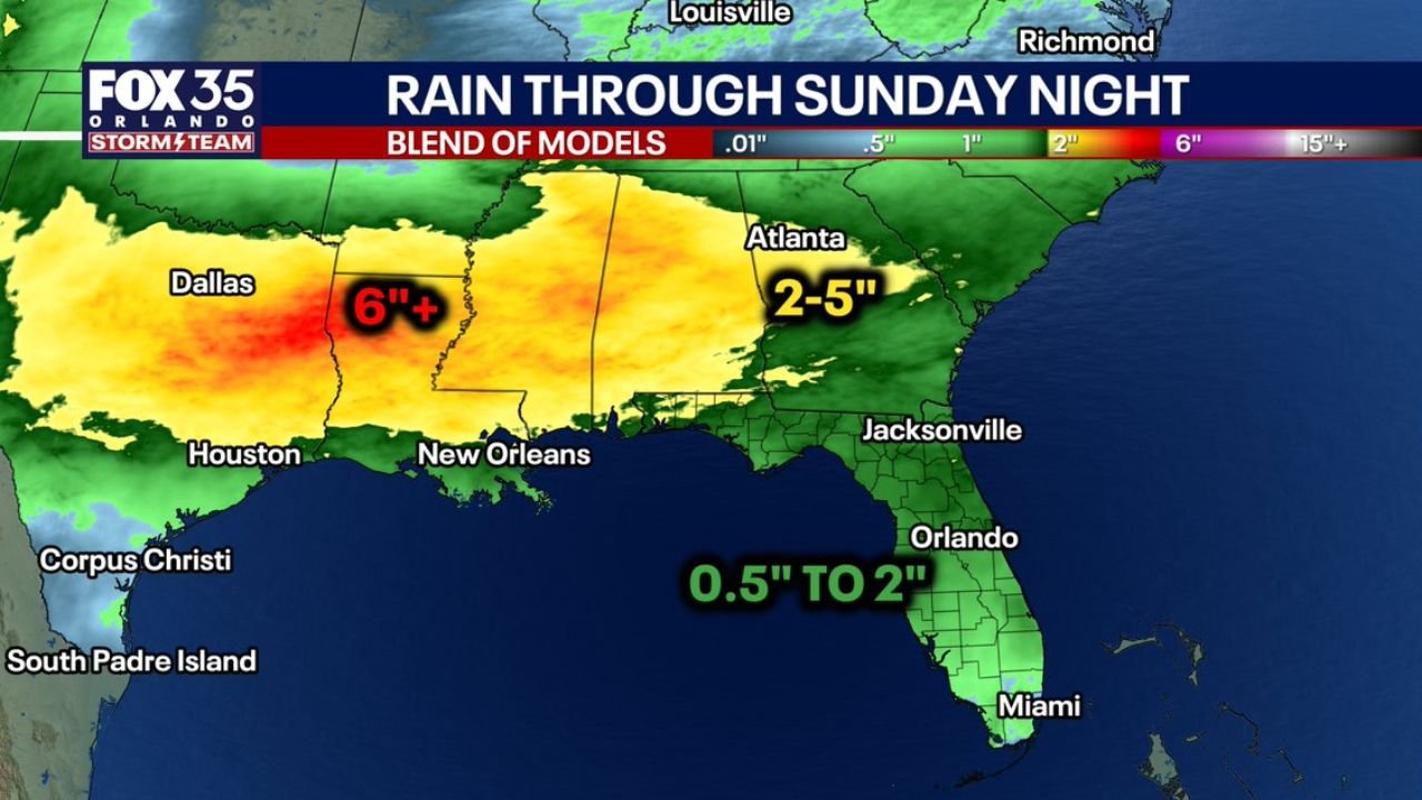
Rainfall totals will vary significantly depending on location. Based on a blend of models through Sunday night:
- Dallas and surrounding areas: 6 inches or more
- Atlanta and surrounding areas: 2 to 5 inches
- Central Florida including Orlando: 0.5 to 2 inches through Sunday night
- Houston and New Orleans corridor: Heavy rainfall within the broader soaking zone
The drought-stricken Florida Peninsula is expected to see some of the most meaningful rainfall it has received in recent weeks, with 0.5 to 2 inches forecast for central Florida as of now.
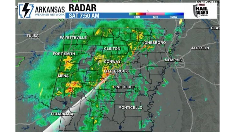
Rain and Storms Likely for Most Places Saturday Night Into Sunday
The system pushes through the region from Saturday night into Sunday, with rain and storms likely for most places across the Deep South and Florida. The front is a significant one, and its arrival will bring a notable change in conditions across the entire affected area.
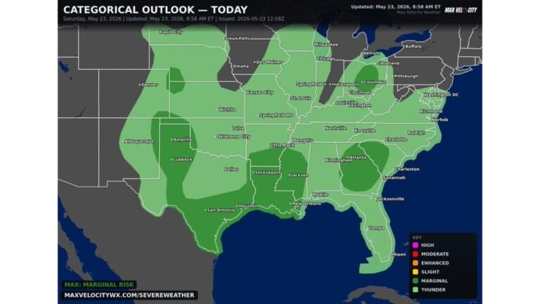
The Severe Storm Question Depends on Timing
The severe weather threat on Sunday is directly tied to when the front arrives. If the front pushes through by midday or afternoon Sunday, more instability will be in place and the risk for strong to severe storms increases. An earlier or overnight arrival would limit that threat significantly.
Timing and intensity remain uncertain at this time.
A Big Temperature Drop Arrives Behind the Front Sunday
One of the most notable aspects of this system beyond the rainfall is a significant drop in temperatures on Sunday behind the frontal passage. Residents across Florida and the Deep South should prepare for a sharp cooldown following the storms.
Why Florida Is Watching This Closely
This system is tracking much farther south than the last few, making it a meaningful event for the Florida Peninsula. The drought-stricken region has struggled for rainfall in recent weeks, and 0.5 to 2 inches through Sunday night would offer some relief, particularly for central Florida around Orlando and southward toward Miami and Jacksonville.
What to Watch Heading Into the Weekend
The key variables heading into this weekend event are the exact track and timing of the front, which will determine both rainfall totals and the severity of any storm development on Sunday. The heavier totals of 6 inches or more are concentrated across the Dallas region and the central Gulf states, while the Atlanta corridor sits in the 2 to 5 inch zone.
Stay with CabarrusWeekly.com for continuing updates as this weekend storm system approaches the Deep South and Florida.